


Best Drone for Aerial Photos: Match Your Craft to the Job | Extreme Aerial Productions
Picking the best drone for aerial photos starts with the deliverable, not the aircraft. We learned this the hard way in 2014 when a Phoenix home builder needed repeatable elevation shots every two weeks for six months, and our first rig couldn't hold position in 15-knot winds. The lesson stuck: match the platform to the job, the weather window, and the output resolution your client will measure. Over twelve years serving Arizona and Nevada film crews, surveyors, and construction teams, we've flown everything from lightweight gimbals to LiDAR rigs, and the best drone for aerial photos is the one that delivers usable files on schedule without forcing you into a second mobilization.
Why Platform Choice Matters More Than Megapixels
You can mount a 45-megapixel full-frame camera on a heavy-lift platform and still miss the shot if your flight time runs out before you finish the grid. Sensor resolution matters, but so do hover stability, redundant IMUs, hot-swappable batteries, and whether the airframe will hold steady at 150 feet AGL when afternoon thermals roll across the Mojave.
In May 2026 we flew a 40-acre industrial site in Henderson for a civil engineering firm that needed sub-inch ground sample distance and georeferenced orthomosaics within 72 hours. The deliverable drove every decision: DJI Matrice 350 RTK with a Zenmuse P1, 80 percent front and side overlap, and RTK base station on a known control point. We launched at 0600 to avoid wind, captured 847 images in two batteries, and delivered a 0.8-centimeter-per-pixel orthomosaic and contours two days later. That project reinforced a core truth: the best drone for aerial photos is the one that meets your accuracy spec, your timeline, and your airspace constraints without compromise.
Cinema vs. Survey: Two Workflows, Two Airframes
Cinema and broadcast work demands large sensors, interchangeable lenses, manual control over shutter and aperture, and smooth gimbal response during dynamic moves. We fly the Inspire 3 with X9-8K Air for commercials and series work around Phoenix and Las Vegas because directors expect ProRes RAW files they can grade and cut alongside ground footage. Flight time is 28 minutes with the TB51 batteries, which gives us four or five scripted moves per sortie.
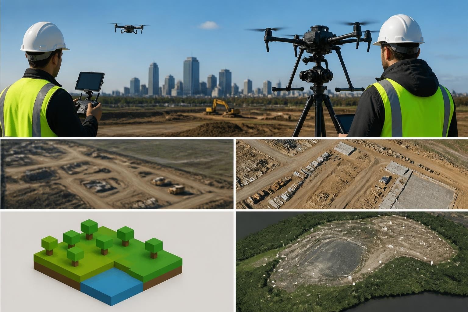
Mapping and survey projects need geometric consistency, centimeter-level positional accuracy, and nadir or oblique capture modes that software can process into orthomosaics, DSMs, and point clouds. The Matrice 350 RTK paired with the P1 or L2 sensor delivers that repeatability. According to a 2024 study in Geomatics & Environmental Engineering, optimized flight design and RTK/PPK georeferencing reduce ground control requirements by up to 80 percent while maintaining sub-two-centimeter horizontal accuracy. We see those numbers in the field: a March 2026 topo survey in Scottsdale required only four checkpoints across 60 acres, and our RMS error came in at 1.4 centimeters horizontal, 2.1 centimeters vertical.
Key Specs That Separate Hobbyist Gear from Production Platforms
Not every aerial photo job requires enterprise hardware, but once you commit to deliverables that matter in a courtroom, a permit application, or a primetime edit, certain specs become non-negotiable.
Sensor size and dynamic range. A one-inch sensor handles high-contrast scenes better than smaller chips. The Mavic 3 Enterprise delivers 20-megapixel stills with enough latitude to pull detail from shadows under building overhangs, which matters when you're documenting construction progress where steel, concrete, and glass create exposure challenges.
RTK or PPK capability. Real-time kinematic positioning writes corrected GPS coordinates into each image's EXIF data, eliminating drift and reducing ground control. We've cut fieldwork time by 40 percent on repeat surveys since adding RTK-capable platforms to our fleet.
Redundant systems. Dual IMUs, dual compasses, and dual batteries mean a sensor glitch or compass interference won't drop your aircraft into a $200,000 excavator. Insurance underwriters notice these features, and so do project managers when you explain why your quote includes a Matrice instead of a consumer quad.
Hot-swappable batteries and fast charging. On a June 2026 solar farm inspection in Pahrump, we flew 14 batteries across four hours to capture 320 acres of panels. The TB65 intelligent batteries charge to 90 percent in under 30 minutes with the BS65 station, which kept us airborne without a two-hour lunch break waiting for cells to top off.
Payload flexibility. The best drone for aerial photos today might need to carry a thermal sensor tomorrow or a multispectral camera next quarter. Platforms with standardized gimbal mounts and software SDKs let you swap payloads without buying an entirely new airframe.
How We Match Aircraft to Client Deliverables
Every inquiry that lands in our Phoenix or Las Vegas office starts with three questions: What do you need to see, how will you use the files, and when do you need them? The answers determine which platform we mobilize.
For hero shots and narrative work, we default to the Inspire 3 or a custom heavy-lift rig when the director wants a Red Komodo or Alexa Mini airborne. The cinema and FPV workflows we run for production companies demand ProRes or RAW formats, and clients expect files that intercut seamlessly with A-camera footage. In August 2026 we delivered 12 scripted aerials for a feature shooting in Sedona: locked-off establishing shots, slow pushes, and one 180-degree reveal over red rock formations. The Inspire's interchangeable lenses (24mm, 35mm, 50mm) gave the DP the focal lengths he needed without swapping aircraft.
For surveys, topos, and orthomosaics, we use RTK-equipped platforms and plan flights in DJI Terra or Pix4Dcapture to guarantee overlap and ground sample distance. A September 2026 grading project in North Las Vegas required a one-foot contour interval over 25 acres. We flew the M350 RTK with the P1 at 200 feet AGL, captured 412 images with 75 percent overlap, and processed the dataset into a 1.2-centimeter DSM that the civil engineer used to calculate cut-and-fill volumes within 0.3 percent of total yardage.
For inspections and progress documentation, zoom capability and close-approach stability matter more than resolution. The Mavic 3 Enterprise's 56x hybrid zoom lets us document roof penetrations, HVAC installations, and facade details from a safe lateral distance, which keeps us out of crane swing zones and reduces risk when working near energized equipment. According to the National Park Service, maintaining adequate standoff distances protects both the aircraft and the subject, a principle we apply on every commercial site.
Real-World Platform Performance Across Arizona and Nevada Conditions
Desert environments test every airframe. Summer thermals in Phoenix can swing 10 degrees between launch and recovery, afternoon winds gust to 25 knots with no warning, and dust reduces visibility inside of two minutes when a haboob rolls in. The best drone for aerial photos in these conditions is the one that lands safely with usable files, not the one that looked impressive in the spec sheet.
Heat, Wind, and Battery Performance
We've logged over 3,200 flight hours across Arizona and Nevada since 2014, and heat remains the biggest performance variable. Battery discharge rates climb as cells heat up, and manufacturers' advertised flight times assume 77°F ambient temperature. In July 2026 we flew a real estate project in Summerlin at 1400 hours with air temperature at 108°F. Our TB65 batteries, which deliver 28 minutes at 70°F, gave us 21 minutes before the first low-battery warning. We adjust flight plans accordingly: shorter sorties, more batteries staged, and launch times before 0900 or after 1700 whenever the client's schedule allows.
Wind shear between ground level and 300 feet AGL is common along the edges of the Las Vegas Valley and around Camelback Mountain in Phoenix. GPS hover relies on accelerometer data and motor response curves, and when gusts exceed the platform's maximum wind resistance rating, position hold degrades. The M350's rated wind resistance is 12 meters per second (27 mph), and we've flown in sustained 20-knot winds without drift, but we scrub flights when forecast gusts exceed 25 knots because no deliverable is worth a flyaway.
Airspace and Altitude Constraints
Phoenix Sky Harbor (KPHX) and Harry Reid International (KLAS) create complex controlled airspace across our primary service areas. Since late 2023, Remote ID requirements have added another compliance layer for every commercial flight. We use LAANC (Low Altitude Authorization and Notification Capability) for most urban shoots and file manual authorizations through DroneZone when we need higher ceilings or longer durations.
A November 2026 high-rise construction shoot in downtown Phoenix required us to operate in Class B airspace at 450 feet AGL. We filed a LAANC request 48 hours in advance, received approval for a two-hour window, and coordinated with the tower by phone 30 minutes before launch. The FAA's Part 107 regulations permit commercial operators to fly above 400 feet AGL in Class G airspace when within 400 feet of a structure, but controlled airspace requires explicit authorization regardless of proximity to buildings.
Field Note: Why We Stopped Chasing the Newest Release
Mark (our lead pilot) switched from annual platform upgrades to a three-year refresh cycle in 2022, and it cut our operational costs by 30 percent. The reasoning is simple: every new airframe requires recurrent training, software updates, spare parts inventory, and insurance amendments. The M300 RTK we bought in early 2023 still delivers the same centimeter-level accuracy it did on day one, and our crew knows every menu, every failsafe behavior, and every pre-flight check by muscle memory. We add platforms when a client need outpaces our current capability (the Inspire 3 was a 2024 purchase to handle cinema work we were subbing out), but we don't chase specs for the sake of newness. The best drone for aerial photos is the one your team can fly safely under pressure, in poor light, with the client watching the monitor and the schedule slipping.
What Survey and Engineering Clients Should Prioritize
If you're hiring a drone team to produce orthomosaics, contours, or volumetrics that engineers and surveyors will stake decisions on, the platform matters less than the workflow. We've seen beautifully flown missions with expensive cameras produce useless datasets because the flight plan didn't account for terrain relief or the crew skipped the calibration flight.
Ground sample distance (GSD) determines output resolution. For a one-inch contour interval, you need sub-two-centimeter GSD. For property-line mapping, three-centimeter GSD is often sufficient. Altitude, sensor focal length, and pixel dimensions interact to set GSD, so your pilot should calculate and confirm before takeoff, not guess.
Overlap percentage affects tie-point density and model accuracy. We use 80 percent front overlap and 70 percent side overlap on survey missions. A 2024 ISPRS study analyzing UAV photogrammetry workflows found that overlap below 70 percent increases the risk of holes in the point cloud and reduces tie-point redundancy, which degrades vertical accuracy.
RTK or PPK georeferencing reduces ground control requirements. On a February 2026 topo in Chandler, we set one RTK base station on a known monument and flew 52 acres without placing a single ground control point. Post-processing in Pix4Dmapper showed 1.8-centimeter RMSE against our four checkpoints, well within the project's five-centimeter tolerance.
Processing software and hardware matter as much as the aircraft. We run dual workstations with RTX 4090 GPUs and 128 GB RAM because processing a 600-image orthomosaic can take 14 hours on mid-range hardware and four hours on a proper machine. Clients don't see the processing rig, but they notice when deliverables arrive two days early.
How to Evaluate a Drone Provider's Platform Choices
When you request quotes from drone operators, ask which platform they'll fly and why. The answer reveals whether they understand your deliverable or just plan to show up with whatever's in the truck.
Questions Worth Asking
What sensor are you flying, and what's the effective GSD at your planned altitude? If they can't answer immediately, they haven't planned the mission.
Are you using RTK, PPK, or ground control points for georeferencing? Each method has tradeoffs. RTK is fastest but requires cell signal or a base station. PPK works anywhere but adds post-processing time. GCPs are reliable but labor-intensive.
How many batteries will you stage, and what's your contingency if wind reduces flight time? A professional operator brings 150 percent of the calculated battery requirement and has a weather abort plan.
What's your data handoff format? Raw images, processed orthomosaic, point cloud, DSM, contours, and volume calculations all require different software licenses and deliverable agreements.
How do you handle airspace authorizations in controlled airspace? If the site sits under a Class B, C, or D shelf, your operator needs LAANC or a manual waiver, and it's their responsibility to secure it before the shoot date.
We've built strong relationships with engineering and construction clients across Arizona and Nevada by answering these questions up front and delivering exactly what we promised, on the timeline we committed to.
Platform Costs and ROI for In-House Operations
If you're considering building an in-house drone program instead of hiring operators, platform cost is just the entry fee. A Mavic 3 Enterprise runs around $5,000. An M350 RTK with the P1 sensor, batteries, and charging station approaches $30,000. The Inspire 3 with the X9 and a lens set starts near $20,000. Then add:
Part 107 certification and recurrent training for at least two pilots (redundancy matters when your primary pilot is out sick and a deadline looms).
Insurance: $2,000 to $6,000 annually for $1 million general liability and hull coverage, more if you operate near crowds or high-value infrastructure.
Processing software licenses: Pix4Dmapper, DJI Terra, or Agisoft Metashape run $300 to $400 per month on subscription plans.
Replacement parts and service: props, gimbal dampeners, and motors wear out. Budget 10 percent of platform cost annually for parts.
Workstation hardware: a capable processing rig for photogrammetry adds $4,000 to $8,000.
We've met construction firms that bought a drone, flew it twice, and then called us when they realized their scheduler didn't have time to plan flights, process data, and handle airspace paperwork on top of a 60-hour-per-week project load. The best drone for aerial photos might be the one another team flies for you, especially if your core business is pouring concrete or pulling permits, not managing batteries and software updates.
Trends Shaping Platform Choices in 2026
Thermal and multispectral payloads are moving from niche applications to standard options on enterprise platforms. We added a Zenmuse H30T (thermal and zoom) to our fleet in early 2026 for solar panel inspections and roof surveys, and demand has doubled since spring. Thermal imaging detects moisture intrusion, electrical faults, and insulation gaps that visible-light cameras miss.
LiDAR sensors under 2.5 pounds are opening new workflows for corridor mapping, dense vegetation surveys, and as-built verification. We flew a pilot project in Flagstaff in April 2026 using the Zenmuse L2, and the point cloud penetrated ponderosa pine canopy well enough to model terrain and locate survey monuments. According to data shared by DJI in 2025, the L2 achieves five-centimeter vertical accuracy at 100 meters flight altitude, comparable to terrestrial LiDAR under ideal conditions.
Automated flight and AI-assisted planning reduce human error and speed up repeat missions. DJI's Pilot 2 app now stores mission templates, so our second visit to a jobsite in six months uses the identical flight path, altitude, and camera settings as the first visit. Consistency matters when clients compare month-over-month progress, and automation delivers it.
Matching Your Mission Profile to the Right Platform
The best drone for aerial photos depends entirely on what you're photographing and why. A real estate agent in Scottsdale needs sharp, well-composed exteriors and neighborhood context shots, not RTK precision. A surveyor staking a 100-acre subdivision needs centimeter-level georeferencing and seamless orthomosaics, not 8K video. A director shooting a car commercial wants cinema-grade color depth and repeatable camera moves, not a CSV file full of GPS coordinates.
We choose platforms by working backward from the deliverable: resolution, accuracy, file format, and turnaround time. Then we factor in weather, airspace, site access, and schedule constraints. When a client books us for a multi-day shoot in Henderson or a fast-turnaround topo in Tempe, they're not just paying for the aircraft. They're paying for a team that knows which platform to mobilize, how to configure it for the job, and how to deliver usable data without excuses or delays.
If you're trying to pick the best drone for aerial photos for your workflow, start with the output, not the feature list. Talk to your end users (the editor, the engineer, the permit reviewer) and find out what file specs, accuracy standards, and turnaround times they require. Then match the platform to the requirement. Or hire a team that's already done the math, owns the right gear, and shows up ready to fly.
The best drone for aerial photos is the one that delivers your required accuracy, resolution, and file format within your timeline and budget, flown by a crew that understands the mission and the airspace. Since 2014, Extreme Aerial Productions has matched platforms to projects across Arizona and Nevada, from cinema rigs on series work to RTK-equipped survey platforms on grading and infrastructure jobs. We plan flights, handle airspace coordination, bring backup batteries and redundant systems, and deliver clean data that moves your project forward. Ready to lock your plan, gear, and date? Request a quote or book a 15-minute call, and we'll match the right platform to your deliverable.
Frequently Asked Questions
What makes a drone suitable for professional aerial photography vs. casual use?
Professional platforms include larger sensors (one-inch or full-frame), manual exposure controls, RAW capture, redundant GPS and IMU systems, hot-swappable batteries, and payload flexibility. Casual drones prioritize portability and automatic modes. If your images will be graded, printed large, or used in legal documents, you need a platform built for repeatable, calibrated results.
Do I need RTK capability for aerial photos, or is that only for mapping?
RTK adds centimeter-level GPS accuracy to every image, which matters for surveys, orthomosaics, and any project where position data must align with ground control or CAD files. For creative work like real estate aerials or commercial shoots, RTK is optional. For engineering deliverables, it saves time and improves accuracy.
How do I know if my drone operator is using the right platform for my project?
Ask what sensor they're flying, what ground sample distance they'll achieve at the planned altitude, and how they'll georeference the images (RTK, PPK, or GCPs). A qualified operator will answer with specific numbers and explain the tradeoffs. If they can't explain their workflow, find someone who can.
Can I use the same drone for both video and survey work?
Some platforms handle both, but optimization differs. The Mavic 3 Enterprise shoots solid 4K video and 20-megapixel stills suitable for small-area mapping. For cinema-grade video, you want larger sensors, interchangeable lenses, and ProRes formats. For sub-inch survey accuracy, you need RTK, high overlap, and nadir capture modes. One airframe can cover both, but expect compromises in each direction.
What's the biggest mistake people make when buying a drone for aerial photography?
Choosing the platform before defining the deliverable. A $30,000 mapping rig is overkill for social media content, and a lightweight consumer quad won't meet accuracy standards for engineering work. Start with the output specs, the turnaround time, and the quality standard your client or regulator requires. Then pick the platform, not the other way around.

Comments