
LiDAR vs. Drone Photogrammetry: Which Should You Use?
- Mark Taylor

- Jan 12, 2020
- 3 min read

Are you a drone photographer trying to decide on the right tech for your 3D surveys? One decision you’ll have to make is whether to use LiDAR or photogrammetry. Even though their outputs may look similar, the two differ in their applications. In this blog, I’ll give an in-depth look at the benefits and drawbacks of each type of technology.
What Is LiDAR?
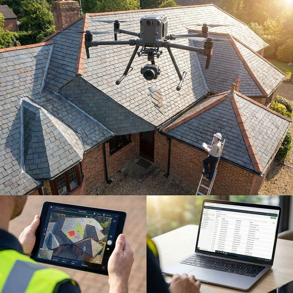
LiDAR stands for ‘light detection and ranging.’ The technology itself has been around for a while, but its availability for drone use is a recent development. It is an active remote sensing system that emits light from a rapidly firing laser. It then measures how long it takes for the light pulses to come back after they bounce off the ground, which is used to calculate the distance traveled. This distance is then converted to elevation.
Besides the sensor, measurements are made using both a Global Navigation Satellite System (GNSS), which can identify where the light energy is, and an Internal Measurement Unit (IMU), which calculates where the LiDAR sensor is positioned in the sky. All three of these must work harmoniously together in a process called direct geo-referencing, which allows the data to be recorded into information you can use.
Did you know?
LiDAR has been around since the 1960’s.
It has been used in police drones for hazard assessments, and to search for missing bodies.
Pros and Cons of Using LiDAR
Pros: Excels at capturing terrain models below vegetation, and in bad weather conditions (i.e. rain and snow). While photogrammetry (we’ll go into detail shortly) is effective at collecting data in areas that don’t have much between the drone and the ground, LiDAR is great in dense vegetation, forestry, and atmospheric conditions. Its light pulses can easily navigate around underbrush and bad weather. LiDAR uses this same functionality to capture 3D models of complex structures or cables.
Cons: Using LiDAR can be expensive. The sensor alone can cost approximately $50,000, a hefty price tag for your surveying needs. You need all three of its systems to work perfectly in sync; otherwise, your output will be messed up. As a result of this, LiDAR surveys require an incredibly seasoned expert drone operator, who is familiar with how the complicated workflow operates. LiDAR also doesn’t provide color information, resulting in models that aren’t as attractive at photogrammetry models.
What Is Photogrammetry?
Photogrammetry involves a drone taking a bunch of high-resolution photos of one area. These images overlay so that the same point on the ground can be seen in many photos, from multiple points of view. These vantage points are used to build incredible 3D constructions that provide the basics, like elevation and height, but also highly specific details, like the color and texture of each point on the map. Drones that use photogrammetry are much less expensive than LiDAR, and more user-friendly.
Pros and Cons of Using Photogrammetry
Pros: The 3D results that you can get with photogrammetry are similar to what you can get with LiDAR and less expensive. You can capture hi-res, navigable, full-color visual data for every model point, making it easy to read. Photogrammetry is better for surveying larger areas, and you can count on more accurate results due to the fact that the system is less prone to error than LiDAR. It is also easier to learn.
Cons: Photogrammetry doesn’t work well in areas with visibility constraints, such as thick vegetation. Seasonal occurrences, like heavy rain, will also impede the ability to collect data.
LiDAR vs. Photogrammetry: Which Should You Use?
Both LiDAR and photogrammetry are able to produce amazing 3D surveys. LiDAR will produce the most accurate results over dense survey areas. Photogrammetry is your best bet for surveys of larger areas, with data results that are easier to read.
The Verdict: Photogrammetry can meet most drone needs, and will save you money.
Extreme Aerial Productions has the equipment (in-house), for both LiDAR and Photogrammetry, and our pilots have extensive experience working with both technologies. We offer pilot training classes and client services for almost any drone application imaginable.
Need aerial drone surveys done by a professional?


Hoewel ik dit artikel boeiend vond, ontbreekt de evaluatie van interactieve digitale diensten aan nuance. Op de website is aanvullende informatie https://oprechtutrecht.nl/ over dit onderwerp beschikbaar. Het onderzoeken van de bredere invloed van deze trends zou het argument igobet ondersteunen.