


Aerial Video Services: Proven Results for AZ/NV Projects | Extreme Aerial Productions
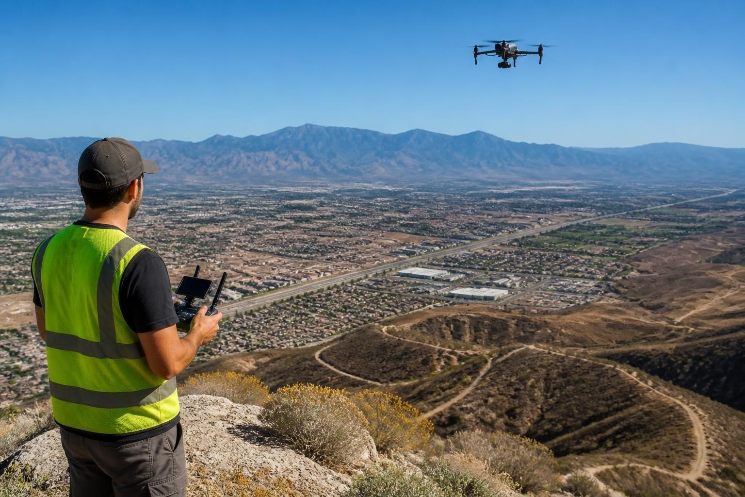
When a Phoenix homebuilder needed progress documentation for twelve active subdivisions scattered across the West Valley in August 2026, they faced a tight deadline: investor presentations required current aerials within five business days. We deployed two crews with Inspire 3 and DJI Mavic 3 Cine rigs to capture 4K video of every phase from lot prep through model homes, delivered edited hero sequences and uncompressed masters in four days. The builder used the footage in presentations that secured additional funding for two more phases. That project illustrates what effective aerial video services deliver-clear documentation, repeatable moves, and schedules you can trust.
Understanding Modern Aerial Video Requirements
Project teams across Arizona and Nevada need aerial video for distinct reasons. Film and television crews require hero shots that cut seamlessly into edits. Construction managers track progress across sites too large to document from the ground. Engineers assess infrastructure conditions without scaffolding or downtime. Real estate developers showcase properties from perspectives that convey scale and context.
We categorize aerial video services into three delivery types:
Cinematic production for commercials, features, documentaries, and broadcast television
Progress documentation for construction, engineering, and site development
Inspection and analysis for infrastructure, solar arrays, rooftops, and vertical assets
Each category demands different sensor packages, flight patterns, and post-production workflows. A 30-second TV spot for a Las Vegas resort needs 6K raw footage with locked-down moves you can grade and stabilize. A monthly construction progress report needs consistent angles shot from identical GPS waypoints so you can compare timeframes. An inspection video for a thermal audit needs both visible and infrared channels synchronized to the same timestamp.
The American Society of Cinematographers reported in 2025 that 68 percent of commercial productions now incorporate aerial footage in primary storytelling, not just establishing shots. That shift changed how we approach aerial drone photography and video services in Nevada and Arizona-crews expect drone operators who understand lighting, composition, and continuity as well as flight dynamics.
Planning Flights That Match Production Schedules
Every aerial video project starts with the same question: what problem does this footage solve? A corporate client in Scottsdale needed aerials for a year-end shareholder video in late November 2026. Their challenge was not creative vision but airspace-their headquarters sat three miles from Scottsdale Airport. We filed LAANC authorization forty-eight hours ahead, coordinated departure windows with tower controllers, and completed the shoot in a two-hour morning window when light matched their brand guidelines and air traffic allowed safe operations.
Airspace and Regulatory Compliance
Commercial aerial video services in controlled airspace require coordination. We operate under FAA Part 107 regulations, which govern visual line of sight, altitude limits, weather minimums, and operating permissions. Projects near airports, heliports, or restricted zones need LAANC approval or, in some cases, formal waivers. The FAA reported in 2026 that over 1.2 million LAANC authorizations were granted nationwide, with Arizona and Nevada accounting for approximately 94,000 combined requests due to dense urban airspace around Phoenix and Las Vegas.
When you plan a shoot in Phoenix, Scottsdale, Tempe, Mesa, or anywhere in the Class B airspace surrounding Phoenix Sky Harbor, we handle airspace clearance as part of the service. We submit requests, receive altitude limits, and coordinate timing so you do not lose shooting windows to regulatory delays. Las Vegas airspace presents similar complexity with McCarran International and nearby military operations. Our crews know which areas require special coordination and which allow same-day LAANC approvals.
Equipment Selection and Redundancy
Different projects demand different sensor packages. We maintain a fleet that includes:
Platform | Sensor | Best Use |
DJI Inspire 3 | Zenmuse X9-8K Air | Cinematic production, high-end commercials, feature film B-roll |
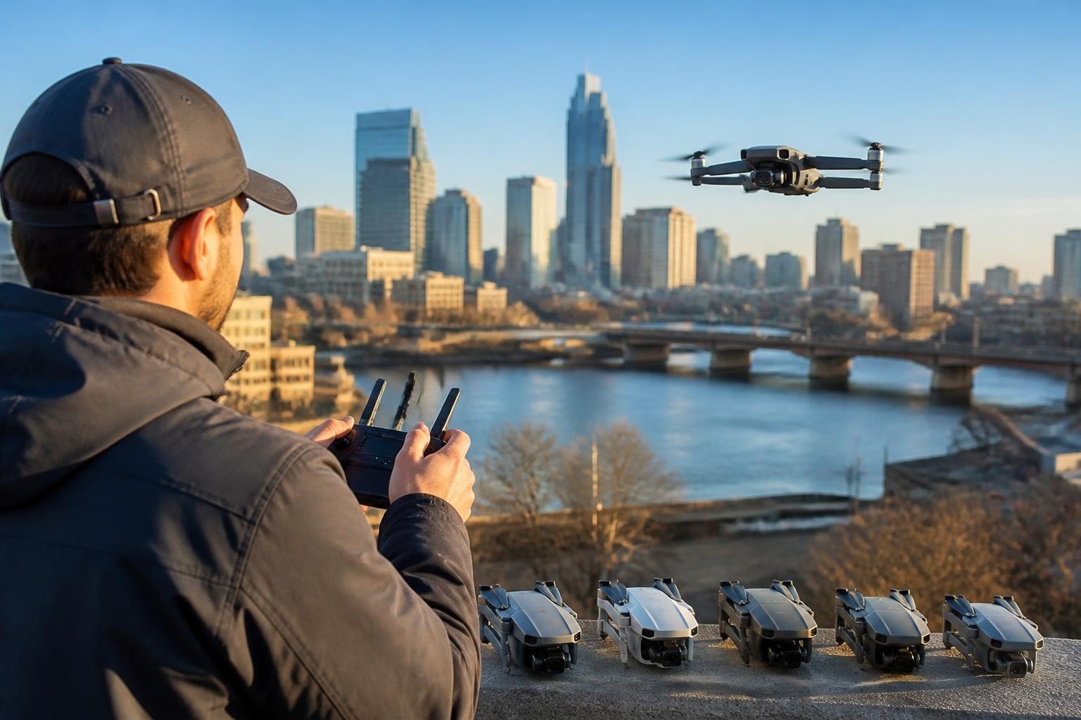
DJI Mavic 3 Cine | Hasselblad L2D-20c | Corporate videos, progress documentation, fast turnarounds |
FPV custom builds | GoPro Hero 12 / Insta360 | Dynamic one-take shots, interior fly-throughs, creative action sequences |
For a July 2026 commercial shoot in Henderson, Nevada, we brought an Inspire 3 for wide establishing shots and an FPV rig for a continuous one-take interior-to-exterior transition through a newly constructed office complex. The client needed both perspectives to tell their story. We delivered 6K ProRes RAW from the Inspire and stabilized 5.3K from the FPV, both color-matched and ready for post.
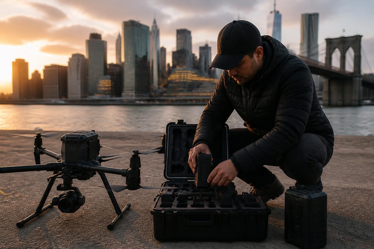
Redundancy matters when production schedules are tight. We carry backup batteries, spare props, secondary camera bodies, and duplicate SD cards to every shoot. A single equipment failure should never delay your project.
Delivering Video That Serves Your Edit
Raw footage means nothing if it does not fit your post-production workflow. We deliver files in formats that match your editing pipeline-ProRes, DNxHD, or H.265 depending on your needs. For a Tucson-based production company shooting a tourism campaign in February 2026, we provided Apple ProRes 422 HQ at 24 fps to match their cinema workflow. For a construction management firm tracking a Henderson mixed-use development, we delivered H.265 files optimized for file size without sacrificing detail.
Shot Planning and Repeatable Moves
Progress documentation requires consistency. When you shoot the same site monthly for twelve months, angles must match. We use GPS waypoint missions to ensure every flight follows identical paths. A civil engineering client in Chandler hired us to document a major roadway widening project from March through October 2026. Every flight followed the same eight waypoints at identical altitudes and camera angles. The resulting time-lapse compilation showed six months of work in ninety seconds, with zero drift or perspective shift between frames.
Cinematic work demands different planning. We storyboard complex moves, test flight paths on-site, and run rehearsals before rolling final takes. For a Las Vegas resort campaign in September 2026, we mapped a sweeping reveal shot that started at pool level, climbed over the main tower, and ended on a sunset vista. We flew the path twice for safety, then captured three final takes at magic hour. The client selected the second take, which went directly into their sixty-second broadcast spot.
A 2024 study from the National Oceanic and Atmospheric Administration on commercial UAS guidance for disaster response found that consistent flight parameters improved data usability by 47 percent in multi-phase projects. That same principle applies to construction and engineering documentation-consistency makes your data actionable.
Real-World Project Constraints
Every aerial video project includes constraints. Weather tops the list. Arizona's monsoon season from June through September brings afternoon microbursts, dust storms, and wind shear that grounds operations. Nevada's summer heat creates thermal turbulence that affects stability and battery performance. We monitor weather continuously and adjust schedules to capture footage when conditions support safe, smooth flight.
Airspace restrictions create the second constraint. A Paradise, Nevada, client needed aerials for a new resort in May 2026. The property sat beneath the Las Vegas Class B airspace shelf, limiting us to 200 feet AGL. We worked within that ceiling, using wide lenses and low angles to create visual impact without violating altitude restrictions. The footage worked because we planned shots around the constraint, not against it.
Turnaround Time and Deliverables
Turnaround varies by complexity. A simple two-location progress shoot with standard edits delivers in two to three business days. A multi-day cinematic production with color grading and sound design may require seven to ten business days. We set realistic timelines during pre-production and communicate any delays immediately.
For a Glendale manufacturing facility grand opening in April 2026, the client needed same-day delivery. We shot in the morning, edited on-site during the afternoon, and delivered a two-minute highlight video by 5 PM for their evening investor event. That kind of turnaround requires planning-we brought editing workstations, redundant storage, and a clear shot list so nothing was left to chance.
Field Note from Mark: We pushed same-day delivery on the Glendale project because the client was clear about their deadline and the event's importance. We brought our full mobile editing rig-Mac Studio, calibrated monitor, backup drives-and set up in their conference room. The key was a detailed shot list finalized two days prior. We knew exactly what to capture, in what order, and how it would cut together. No wasted shots, no guessing in post. When timelines are non-negotiable, over-preparation is the only strategy.
Data Capture Beyond Cinematic Footage
Aerial video services increasingly include data products. Construction and engineering clients need more than beautiful footage-they need measurable documentation. A Tempe civil engineering firm hired us in June 2026 to document a stormwater retention project. We captured 4K video of the completed basin, then processed stills into orthomosaics showing exact dimensions, slopes, and volumes. The video went into client presentations; the orthomosaic went into as-built drawings.
The United States Geological Survey published calibration guidelines for uncrewed aircraft imagery in 2023, emphasizing that camera calibration and ground control improve geomatic accuracy by up to 83 percent. When video needs to support engineering decisions, we apply those standards. That means calibrated cameras, ground control points, and processing workflows validated against survey-grade benchmarks.
For projects that blend video and data, we coordinate deliverables so you receive both. A Phoenix-based surveyor contracted us for construction site mapping on a North Phoenix retail development in August 2026. We flew dual missions-one for cinematic progress video, one for photogrammetry. The client received a three-minute edited video for stakeholder updates and a contour map with one-foot intervals for grading plans. Both deliverables came from the same flight day, saving time and cost.
Choosing the Right Aerial Video Partner
Evaluating aerial video services requires looking beyond equipment lists. You need operators who understand your workflow, meet deadlines, and handle the logistics that keep projects on track. Consider these factors:
Regulatory compliance: Verify that pilots hold current FAA Part 107 certification and that the company carries liability insurance. Ask about airspace authorization procedures and how they handle restricted zones.
Equipment redundancy: Confirm that the provider brings backup aircraft, batteries, and cameras to every shoot. Single points of failure create unacceptable risk on time-sensitive productions.
Delivery formats: Ensure that the provider delivers files compatible with your editing or analysis software. Clarify frame rates, codecs, color profiles, and storage media before the shoot.
Communication protocols: Establish who handles pre-flight coordination, how weather delays are communicated, and what the escalation path looks like if problems arise on-site.
We have operated across Arizona and Nevada since 2014, building processes around those four principles. Our pilots are FAA Part 107 certified, we carry full liability and equipment insurance, and we bring redundant systems to every project. When you book a shoot, you receive a detailed flight plan, equipment list, and delivery timeline before the first battery is charged.
FPV and Specialty Aerial Video Techniques
Standard multirotor platforms cover most projects, but some creative visions require specialty rigs. First-person view (FPV) drones enable dynamic one-take shots that move through tight spaces, around obstacles, and at speeds that cinematic platforms cannot match. We deployed FPV systems on a Las Vegas automotive commercial in March 2026, flying through a showroom, out the service bay, and over the roof in a single continuous shot. The resulting sixty-second take became the centerpiece of their spring campaign.
FPV requires different piloting skills and safety protocols. Flights are often flown in acro mode without GPS stabilization, relying entirely on pilot skill. We practice each flight path multiple times, use spotters to monitor obstacles, and coordinate closely with on-set crews to ensure everyone understands flight timing and safety zones.
For vertical structures, we combine traditional platforms with specialized techniques. A Phoenix high-rise inspection in October 2026 required tight proximity flights along glass curtain walls. We used an Inspire 3 with obstacle avoidance enabled, flying automated vertical transects that captured every floor from ground to roofline. The building management team used the footage to identify exterior maintenance needs without deploying scaffolding or gondolas.
Video-Derived Analytics and Documentation
Aerial video is not just a visual product-it is a data source. Frame grabs from 4K or 6K video provide sufficient resolution for many documentation tasks. A Surprise, Arizona, solar farm operator contracted us in July 2026 for monthly operations video. We flew grid patterns over 300 acres of panels, capturing 5.3K video at 30 fps. Post-flight, we extracted high-resolution stills, processed them through thermal overlay software, and identified underperforming panels. The video served dual purposes: visual progress reports for stakeholders and diagnostic data for maintenance crews.
According to the NOAA's 2024 guidance on commercial data procurement, video-derived imagery accounted for 22 percent of commercial UAS data purchases in federal contracts during 2023, up from 11 percent in 2021. That trend reflects growing recognition that video platforms offer flexibility-shoot once, extract multiple products.
When projects require both video and precision mapping, we plan missions that optimize for both. A Mesa engineering client needed construction progress documentation and topographic updates for a 40-acre industrial park in May 2026. We flew overlapping video transects at consistent altitude and speed, then extracted frames at regular intervals for photogrammetry processing. The client received edited progress video for monthly reports and updated contour maps for grading verification-both from a single flight.
Regional Considerations for Arizona and Nevada Projects
Arizona and Nevada present unique operating environments. Summer temperatures in Phoenix and Las Vegas regularly exceed 110°F, reducing battery performance and increasing thermal stress on electronics. We schedule summer shoots for early morning or late evening when temperatures moderate and light quality improves. A June 2026 shoot in Anthem required a 5:30 AM start to capture golden hour light and avoid midday heat that would have cut flight time by 30 percent.
Monsoon season demands constant weather monitoring. Thunderstorms develop rapidly between June and September, bringing microbursts and dust storms with little warning. We use real-time radar, watch cloud development, and maintain communication with clients so we can adjust schedules when conditions deteriorate. For a Flagstaff project in August 2026, we pushed the shoot time up by two hours when models showed afternoon storm development. We completed the mission before the first cell arrived and delivered footage on schedule.
Nevada's terrain ranges from urban Las Vegas to remote desert and high-altitude mountain sites. A shoot near Mount Charleston in May 2026 required altitude adjustments-the site sat at 7,200 feet MSL, reducing air density and affecting aircraft performance. We reduced payload, increased throttle margins, and monitored battery temperatures throughout the flight. Understanding how elevation, temperature, and air density interact is critical for safe operations in varied terrain.
Pre-Production Planning and Client Coordination
Successful aerial video projects begin with thorough pre-production. We conduct site surveys, identify potential obstacles, map flight paths, and confirm equipment requirements before committing to a shoot date. For a Gilbert corporate campus video in September 2026, we walked the property two weeks ahead, identified power lines near the proposed flight corridor, and adjusted the shot list to avoid conflicts. That site visit prevented delays and safety issues on shoot day.
Client communication shapes project outcomes. We ask detailed questions during initial consultations: What is the intended use? Who is the audience? What is the distribution format? Are there brand guidelines, color preferences, or style references? A Peoria homebuilder provided reference footage from a competitor's campaign during our March 2026 planning call. That reference guided our shot selection and pacing, ensuring our deliverable matched their vision.
We provide clients with pre-flight checklists covering:
Site access and parking arrangements
On-site contact names and phone numbers
Weather contingency plans and backup dates
Safety zones and crew notification protocols
File delivery methods and review timelines
Clear expectations prevent miscommunication. When everyone knows the plan, the schedule, and the deliverables, projects proceed smoothly.
Insurance, Permits, and Risk Management
Professional aerial video services include comprehensive insurance coverage. We carry general liability and hull coverage that protects clients, crew, and equipment. Projects on commercial properties or public land often require certificates of insurance naming the property owner or agency as additional insured. We provide those certificates within 24 hours of request.
Permits vary by location and jurisdiction. Shooting in Phoenix city parks requires a permit from the Parks and Recreation Department. Filming on ADOT right-of-way near state highways requires coordination with the transportation department. Nevada state lands managed by the Bureau of Land Management may require special use permits. We handle permit applications, coordinate approvals, and ensure all regulatory requirements are met before the first flight.
Risk management extends beyond paperwork. We conduct safety briefings before every flight, establish no-fly zones around people and vehicles, and use spotters on complex shoots. For a crowded Las Vegas event in April 2026, we established a 50-foot buffer around all spectators, coordinated flight timing with event staff, and maintained constant radio communication with on-ground security. Zero incidents, zero drama, and footage that exceeded the client's expectations.
Why Experience and Local Knowledge Matter
Operating in Arizona and Nevada since 2014 gives us insight that out-of-state providers cannot match. We know which Phoenix neighborhoods require special airspace coordination. We understand how desert thermals affect afternoon flight stability. We have relationships with local air traffic controllers, property managers, and permitting offices that streamline coordination.
A Tucson production company hired us in January 2026 for aerials supporting a feature film. They had worked with a California-based drone operator on a previous project and experienced delays due to unfamiliarity with southern Arizona airspace and terrain. We completed their scout, filed authorizations, and executed the shoot without delays. Local knowledge translated directly into schedule reliability and cost control.
Our equipment and technology coverage includes platforms optimized for desert conditions-heat-resistant batteries, dust filters, and redundant cooling systems. We test every configuration in real-world Arizona and Nevada environments before deploying it on client projects.
Frequently Asked Questions
What turnaround time should I expect for aerial video deliverables? Standard projects deliver edited video within three to five business days after the flight. Rush projects with simplified editing can deliver within 24 hours if scheduled in advance. Complex productions requiring color grading, motion graphics, or multiple revisions typically require seven to ten business days. We provide exact timelines during pre-production based on your specific requirements and delivery format.
How do you handle weather delays and rescheduling? We monitor weather continuously starting 48 hours before each scheduled flight. If conditions are unsafe, we contact you immediately to discuss backup dates. There is no charge for weather-related rescheduling. During Arizona's monsoon season and Nevada's winter months, we recommend booking flexible date windows when possible. For time-critical projects, we often schedule contingency days to ensure delivery deadlines are met regardless of weather.
Can you provide both cinematic video and mapping data from the same flight? Yes. Many projects benefit from dual deliverables. We plan flight paths that optimize for both video composition and photogrammetry overlap. You receive edited video for presentations and processed orthomosaics, DSMs, or contour maps for technical use. Combining services in a single flight reduces costs and provides comprehensive documentation. Turnaround depends on data complexity but typically ranges from five to seven business days for both deliverables.
Do you operate in controlled airspace near airports in Phoenix and Las Vegas? We regularly operate in controlled airspace around Phoenix Sky Harbor, Scottsdale Airport, and Las Vegas McCarran. We file LAANC authorizations or formal airspace waivers as required, coordinate with air traffic control when necessary, and ensure all flights comply with altitude and operational restrictions. Authorization timelines vary-LAANC approvals often come within minutes, while complex waiver requests may require several weeks. We handle all airspace coordination as part of our service.
What video formats and codecs do you deliver? We deliver files in formats that match your post-production workflow. Common deliverables include Apple ProRes 422 HQ, ProRes 4444 for projects requiring alpha channels, Avid DNxHD for Avid Media Composer users, and H.265 for file-size-optimized delivery. We shoot in LOG profiles (D-Log, HLG) when color grading is planned or Rec.709 for projects requiring minimal post. Frame rates range from 23.976 fps for cinema to 60 fps for slow-motion work. We confirm format, codec, resolution, and frame rate during pre-production.
Aerial video services deliver value when they solve specific problems on schedule and within budget. Whether you need cinematic hero shots for broadcast, repeatable progress documentation, or inspection footage that supports engineering decisions, the right partner makes the difference. Since 2014, Extreme Aerial Productions has provided Arizona and Nevada clients with reliable aerial video backed by FAA Part 107 certified pilots, comprehensive insurance, and the equipment to handle complex shoots. Ready to plan your next project? Request a fast quote or schedule a 15-minute call to lock in your dates, deliverables, and budget.
Comments