


Best Professional Drone for Film, Survey, and Data | AZ-NV
In March 2026 a commercial general contractor in Scottsdale, Arizona needed weekly progress orthomosaics and earthwork volumes on a mixed-use development site hemmed by residential airspace and a seasonal wash. The superintendent wanted turn-the-same-day deliverables every Tuesday morning and sub-centimeter horizontal accuracy without permanent ground control. We flew a DJI Matrice 350 RTK with a Zenmuse P1 45 MP sensor, logged PPK corrections, and delivered 0.9 cm GSD orthomosaics and contours by noon the same day for twelve consecutive weeks. The project stayed on schedule because the super had actionable data before the Wednesday coordination call, and we proved you can meet survey-grade tolerances with the right professional drone, sensor pairing, and workflow. Choosing the best professional drone starts with matching airframe, payload, and redundancy to the specific deliverable, turnaround, and site constraints your clients demand.
What Defines the Best Professional Drone in 2026
The best professional drone is not a single model. It is the platform that delivers your contracted deliverable on time, within tolerance, and without forcing the client to reschedule. For cinematic aerials on a film set in Phoenix, that might be a DJI Inspire 3 with X9-8K Air gimbal and 24 mm lens. For a drone surveying and mapping project in Nevada covering 200 acres of solar array, it is a Matrice 350 RTK carrying a Zenmuse L2 LiDAR sensor and RGB camera. For an FPV one-take through a Las Vegas casino under construction, it is a custom 5-inch quad with DJI O3 Air Unit and GoPro Bones.
Professional platforms share five characteristics that consumer drones lack:
Redundant flight systems: Dual IMU, dual compass, dual battery, and independent barometers ensure safe return-to-home if one sensor fails.
Interchangeable payloads: Gimbal mounts and SDK integration support cinema cameras, multispectral sensors, LiDAR, thermal, and photogrammetry rigs without swapping airframes.
Real-time differential positioning: RTK and PPK correction streams deliver centimeter-level georeferencing for survey deliverables that meet ALTA and engineering standards.
Enterprise-grade support: Manufacturers provide repair depots, DJI Care Enterprise, and replacement airframes within 48 hours to minimize downtime on contracted projects.
Regulatory compliance: Built-in Remote ID broadcast, ADS-B receivers, and geofence override for authorized operations under FAA guidance and controlled airspace clearance.
According to a 2025 Federal Aviation Administration operations report, commercial Part 107 operators logged 1.9 million flight hours in 2024, a 22 percent increase over 2023, driven primarily by construction progress monitoring, infrastructure inspection, and media production. The report noted that platforms with RTK modules and enterprise maintenance contracts accounted for 68 percent of revenue-generating flights, underscoring the shift from hobby-grade airframes to purpose-built professional systems.
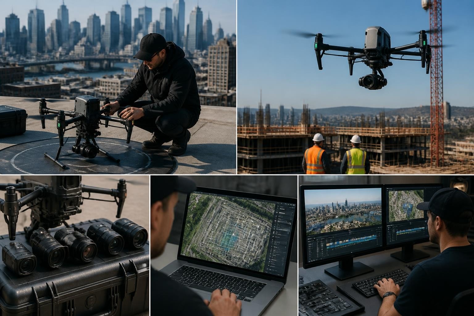
We maintain four airframe categories in our drones and equipment inventory, each optimized for distinct client needs across Arizona and Nevada. The Matrice 350 RTK handles survey, inspection, and any mission requiring sub-two-centimeter horizontal accuracy. The Inspire 3 delivers cinematic footage with full-frame sensors and interchangeable DJI DL lenses for broadcast and streaming. Custom FPV rigs tackle single-take narratives and tight interiors where stabilized gimbals cannot fit. We also keep Mavic 3 Enterprise units for rapid scouts, thermal roof inspections, and situations where a smaller airframe simplifies airspace coordination or blends into a live event.
DJI Matrice 350 RTK for Survey and Data Capture
When a civil engineering firm in Henderson, Nevada requested a 120-acre topographic survey with two-foot contours and a five-day turnaround in September 2025, we deployed the Matrice 350 RTK with Zenmuse P1 in 35 mm mode. The site sat 1.2 miles from the Las Vegas Class D surface area, so we filed a LAANC request the morning of the flight, received approval in four minutes, and completed six batteries of nadir and oblique imagery before noon. We processed 2,847 images in Pix4Dmapper that afternoon, exported a 1.1 cm GSD orthomosaic and DSM, generated contours in Civil 3D, and delivered DWG and GeoTIFF files on day three. The client used the topo to finalize grading plans and submit for permit review two weeks ahead of the original schedule.
The Matrice 350 RTK is the best professional drone for deliverables that require georeferenced data products: orthomosaics, digital surface models, contours, volumes, and point clouds. Key specifications include:
Feature | Specification |
Max flight time | 55 minutes (no payload) / 42 minutes (P1 + lens) |
Positioning accuracy | 1 cm horizontal + 1.5 cm vertical (RTK enabled) |
Gimbal mounts | Single downward Z-axis or dual-gimbal configuration |
Operating temperature | -20 °C to 50 °C |
Wind resistance | 12 m/s (27 mph) sustained |
IP rating | IP55 (airframe and gimbal) |
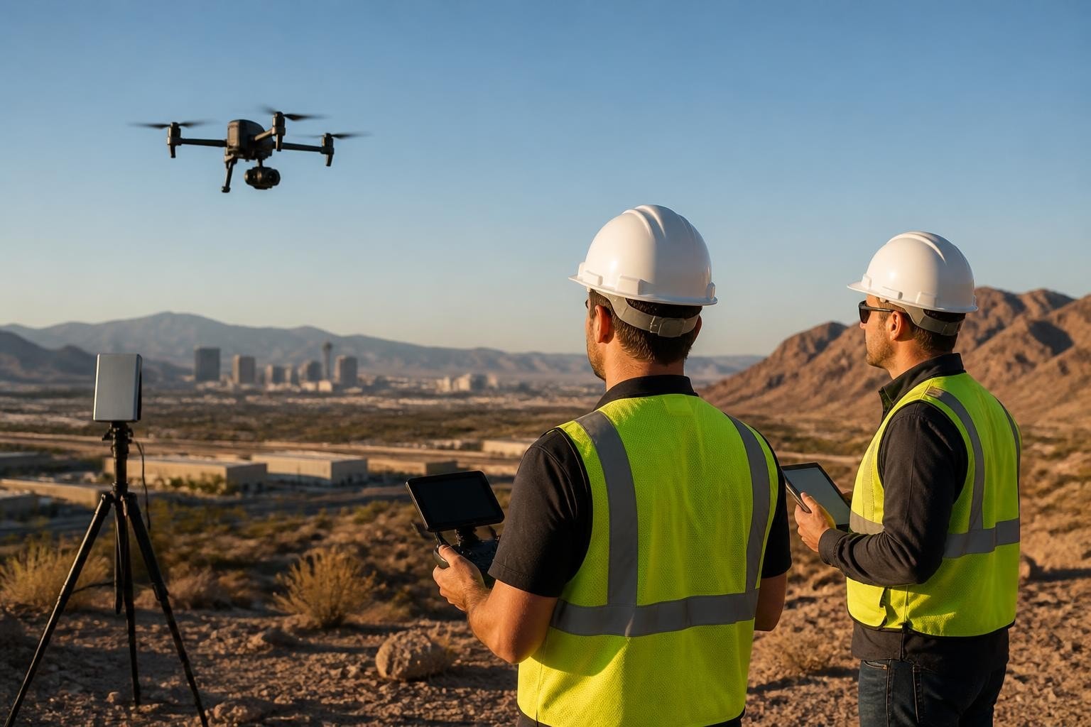
The airframe supports RTK corrections via NTRIP over 4G LTE or a D-RTK 2 Mobile Station base on-site. For projects without cellular coverage we log raw satellite observations and post-process with PPK workflows using OPUS or known CORS station coordinates. The dual-battery hot-swap system allows continuous flights when you need to cover large acreage in a single session. We used this capability on a 340-acre drone golf course mapping project in Tucson in January 2026, swapping batteries mid-mission without returning to the launch point and completing the entire site in two flights.
DJI Inspire 3 for Cinematic Production
In May 2026 a production company shooting a commercial in downtown Phoenix needed repeatable orbital shots around a high-rise at sunset, matching the previous day's take frame-for-frame so the editor could cut between golden hour and blue hour seamlessly. We flew the Inspire 3 with X9-8K Air in full-frame 8K mode, logging GPS coordinates and gimbal angles on the first take, then replayed the identical flight path the next evening using Waypoint mode. The director approved both takes on set, and the post house confirmed perfect registration in the timeline. That level of precision is why the Inspire 3 is the best professional drone for narrative, commercial, and broadcast work where the footage must cut cleanly into an edit and match the cinematographer's lighting and composition intent.
The Inspire 3 offers capabilities that bridge the gap between traditional cinema rigs and agile aerial platforms:
Full-frame X9-8K Air gimbal with interchangeable DJI DL lenses (18, 24, 35, 50 mm) for shallow depth-of-field and low-light performance matching ground cameras.
Dual-operator control allowing one pilot to manage aircraft position and altitude while a dedicated camera operator frames, focuses, and pulls exposure in real time.
CinemaDNG and Apple ProRes RAW internal recording at up to 8K 75p, delivering files that grade natively in DaVinci Resolve and Premiere Pro without transcoding.
Repeatable flight modes including Waypoint, Spotlight Pro, and ActiveTrack Pro for matching takes across multiple sessions or angles.
O3 Pro transmission with 1080p 60fps live feed at ranges up to three miles, ensuring the director and DP see exactly what the sensor captures.
A 2024 industry survey by the Entertainment Aerial Photographers Association found that 71 percent of union DPs prefer DJI Inspire or custom cinema drone platforms over cable-cam or crane rigs for establishing shots and complex camera moves, citing faster setup, lower cost, and creative flexibility as primary factors. The same survey noted that productions using drones for key coverage reduced average shot setup time by 34 minutes per angle compared to traditional aerial methods.
We pair the Inspire 3 with ND filters (ND8, ND16, ND32, ND64) and circular polarizers to maintain proper shutter speed and control reflections on glass facades common in Phoenix and Las Vegas high-rises. For drone filming projects that demand matching color and dynamic range with A-camera footage, we shoot ProRes RAW, apply the same LUT in-camera, and deliver dailies that integrate seamlessly into the editorial workflow.
Payload-Specific Platforms for Thermal, LiDAR, and Multispectral
The best professional drone for a roof inspection is not the same airframe you choose for a 500-acre agricultural multispectral survey or a corridor LiDAR scan. Payload mass, power requirements, and data acquisition rates dictate platform selection. In February 2026 a solar operations team in Kingman, Arizona contracted us to thermally scan 18,000 panels across a 75 MW array and flag anomalies above 15 °C delta within 48 hours. We flew the Matrice 350 RTK with a Zenmuse H30T thermal sensor, captured radiometric TIFF imagery at 640×512 resolution, processed the dataset in DJI Terra, and delivered a georeferenced anomaly map with GPS coordinates of 127 underperforming panels. The client dispatched a repair crew the next morning and restored the array to 99.4 percent capacity within a week.
Thermal, LiDAR, and multispectral payloads impose distinct operational requirements:
Thermal (H30T, XT2, Mavic 3T): Requires stable hover, consistent altitude AGL for uniform IFOV, and radiometric calibration at ambient temperature for accurate temperature measurement.
LiDAR (Zenmuse L2, YellowScan Voyager): Demands RTK or PPK positioning, flight speed below 15 m/s for point density, and multiple overlapping passes for vertical surfaces and canopy penetration.
Multispectral (MicaSense RedEdge, Sentera 6X): Needs direct sunlight, calibrated reflectance panel before and after flight, and narrow flight windows around solar noon for consistent NDVI and NDRE index values.
A 2025 study published in PubMed Central examined transformer-based processing methods for large-scale drone datasets and found that integrating RTK positioning metadata with neural network pipelines reduced georeferencing error by 48 percent compared to traditional structure-from-motion workflows. The research highlighted the importance of centimeter-level position data for training models on construction progress monitoring and infrastructure inspection imagery.
We select airframes based on total system weight, required flight time, and whether the mission tolerates a larger platform. For thermal drone inspections of residential roofs in Scottsdale or Henderson, the Mavic 3 Enterprise Thermal delivers 640×512 radiometric imagery and 45-minute endurance in a compact package that fits in a backpack and launches from tight driveways. For utility corridor LiDAR in Nevada where you need 200+ points per square meter and survey-grade vertical accuracy, the Matrice 350 RTK with Zenmuse L2 provides five-return LiDAR, integrated RGB camera, and PPK logging across flights spanning multiple batteries.
Custom FPV Rigs for One-Take and Confined Space Work
When a Las Vegas production company needed a single continuous shot through a casino under construction, starting outside on the porte-cochère, flying through the main entrance, weaving between structural columns, ascending an open atrium, and exiting through a third-floor terrace opening, no gimbal-stabilized platform could execute the move. We built a 5-inch FPV quadcopter with DJI O3 Air Unit, GoPro Hero 12 in Bones housing, and ReelSteady stabilization in post. The pilot rehearsed the path six times, nailed the take on attempt seven, and the editor received a 4K 60p file that played as one unbroken 90-second shot. That mission exemplifies why custom FPV rigs remain the best professional drone choice for creative moves that demand agility, speed transitions, and tight proximity to structures.
FPV platforms differ fundamentally from autonomous or GPS-assisted drones:
Manual control in rate mode with no altitude hold, GPS assist, or collision avoidance, requiring advanced piloting skill and rehearsal.
Compact airframe typically 5-inch to 7-inch propeller diameter, enabling flight through doorways, stairwells, and spaces inaccessible to larger drones.
Action camera payloads (GoPro, Insta360, DJI Action) mounted in protective cases to survive hard landings and close calls with walls or beams.
High thrust-to-weight ratio for rapid acceleration, tight radius turns, and vertical climbs that create dynamic perspective shifts impossible with stabilized gimbals.
Analog or digital FPV transmission delivering real-time video to pilot goggles at latency below 30 milliseconds for precise control in confined spaces.
We maintain three FPV configurations for different FPV drone missions: a 5-inch freestyle rig for interiors and tight one-takes, a 7-inch long-range setup for outdoor chases and high-speed tracking, and a cinelifter capable of lifting a Sony A7S III for projects where the client demands full-frame sensor quality in an FPV move. Each rig uses different motors, ESCs, and battery configurations tuned to the specific thrust, flight time, and payload requirements of the shot.
Evaluating Professional Drones Against Real Project Constraints
The best professional drone is the one that meets your project's tolerance, turnaround, and site constraints without requiring the client to adjust their schedule or accept reduced accuracy. We evaluate platforms using the framework the National Institute of Standards and Technology outlined in a 2023 test methods brochure for aerial drone capability assessment: payload capacity, positioning accuracy, environmental operating range, communication reliability, and automated mission execution. NIST defines four proficiency levels, from basic manual flight to fully autonomous multi-drone coordination, and recommends matching platform capability to mission complexity rather than defaulting to the highest-tier system.
When a surveying firm in Tempe, Arizona requested a 40-acre drone 3D mapping deliverable with ASPRS Class I horizontal accuracy and 48-hour turnaround in July 2026, we assessed constraints before selecting the airframe. The site bordered Phoenix Sky Harbor Class B airspace, required flights before 7 a.m. to avoid daytime thermals exceeding the Matrice 350's wind resistance spec, and demanded RTK corrections because no CORS stations sat within ten miles. We filed a Part 107 waiver for controlled airspace operations two weeks prior, coordinated with PHX tower for a morning launch window, set up a D-RTK 2 base over a known monument, and completed the mission in four flights totaling 38 minutes. Processing and QA took 36 hours, and we delivered a point cloud, DSM, and contour DWG that the surveyor stamped and submitted for permitting.
Airspace and Regulatory Constraints
Airspace classification, proximity to airports, and temporary flight restrictions dictate which professional drone you can legally fly and when you can operate. Phoenix and Las Vegas both sit under complex overlapping airspace: Class B shelves extending from the surface to 10,000 feet MSL around major airports, Class D cylinders around smaller fields, and frequent NOTAMs for sporting events, VIP movements, and wildfires. We check airspace daily using FAA charts, file LAANC requests for operations below 400 feet AGL in controlled airspace, and coordinate directly with tower when LAANC ceilings do not cover our required altitude.
The FAA Remote ID rule became fully enforceable in September 2023, requiring all drones over 0.55 pounds to broadcast position, altitude, and control station location unless operating within an FAA-Recognized Identification Area. Professional platforms like the Matrice 350 RTK and Inspire 3 transmit Remote ID natively via built-in modules. Older airframes and custom FPV rigs require external Remote ID broadcast modules mounted to the airframe and powered independently. We verify Remote ID transmission before every mission and maintain compliance documentation for client records and insurance claims.
International operations introduce additional regulatory layers. A July 2024 ICAO news release announced newly adopted international standards for remotely piloted aircraft systems, harmonizing certification, pilot licensing, and operational approvals across 193 member states. For clients with cross-border projects in Mexico or Canada, we coordinate with local civil aviation authorities, obtain temporary foreign operator permits, and ensure our platforms meet the host country's certification and Remote ID requirements.
European operations require familiarity with EASA's U-space framework and operational category classifications (Open, Specific, Certified). We do not operate in European airspace, but clients occasionally ask whether our platforms meet EASA standards for future expansion. The Matrice 350 RTK and Inspire 3 comply with the CE marking requirements and can operate in the Specific category with appropriate operational authorization, while custom FPV rigs require individual risk assessment and operator declaration.
Turnaround, Weather, and Site Access
Clients hire us because we deliver actionable data on deadline. A superintendent who needs Tuesday morning contours to plan Wednesday grading cannot wait until Friday. We match airframe, sensor, and processing workflow to the contracted turnaround. For same-day orthomosaics we shoot in JPEG mode at lower overlap (70/70 instead of 80/80), process in Pix4Dmatic or DJI Terra using rapid templates, and skip oblique imagery to reduce dataset size. For engineering deliverables requiring ASPRS positional accuracy we shoot RAW, fly dual-grid missions with cross-hatch overlap, place and survey ground control, and allocate 24 to 36 hours for processing and QA.
Weather drives platform selection and backup planning. Phoenix summers regularly exceed 115 °F, pushing the Matrice 350's upper operating limit and reducing LiPo battery capacity by up to 18 percent. We schedule high-temperature missions for dawn or dusk, pre-cool batteries in a vehicle with AC, and carry extra packs to compensate for reduced flight time. Winter mornings in Nevada drop below freezing, requiring battery warmers and extended pre-flight warm-up to bring cells above the minimum discharge temperature. Wind is the primary weather constraint: the Matrice 350 RTK tolerates sustained 12 m/s (27 mph) winds, but gusts above 15 m/s degrade RTK fix quality and introduce motion blur in photogrammetry imagery. We scrub missions when forecast winds exceed platform limits and reschedule within the client's tolerance window.
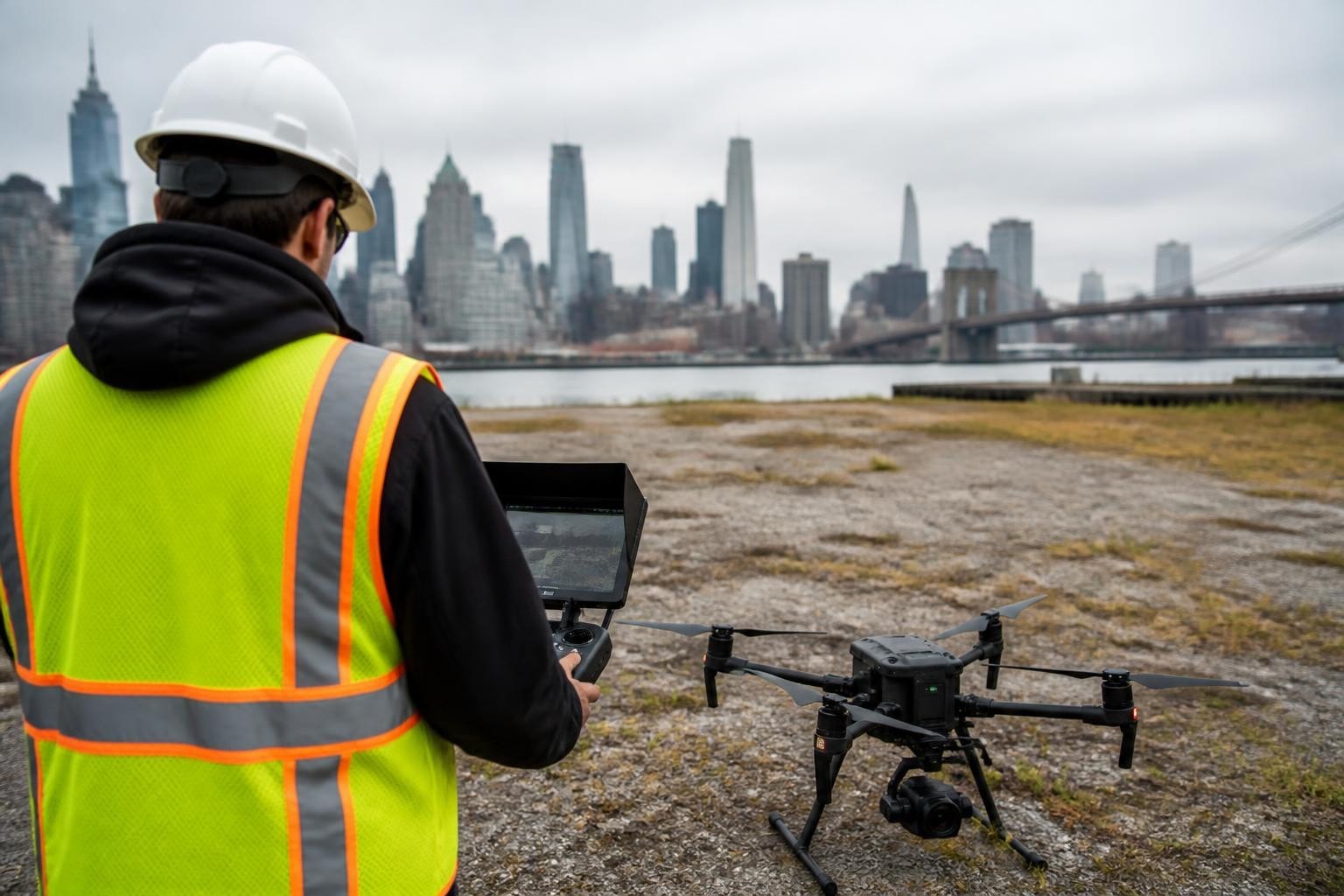
Site access determines whether you can deploy a heavy Matrice rig or need a compact Mavic that fits in a backpack. On an active construction site in Henderson with no dedicated launch area, narrow haul roads, and equipment moving continuously, we launched from the bed of a pickup parked on the perimeter and flew the Matrice 350 RTK to altitude before translating over the active zone. On a roof inspection in a gated Scottsdale community with no street parking and homeowners averse to visible drones, we carried the Mavic 3 Enterprise Thermal in a shoulder bag, launched from the client's driveway, and completed the scan in twelve minutes. The best professional drone is the one you can legally and safely deploy given real-world site constraints.
Field Note: Why We Chose the Matrice 350 RTK Over Competing Platforms
In 2022 we evaluated five enterprise platforms to replace our aging Matrice 210 RTK V2 fleet: the DJI Matrice 350 RTK, Freefly Alta X, Autel EVO Max 4T, Skydio X10, and a custom hexacopter built around a Pixhawk flight controller. We tested each platform on a 60-acre construction site in Chandler, Arizona flying identical survey missions with the same camera payload and ground control layout. The Matrice 350 RTK delivered the tightest horizontal accuracy (1.2 cm RMS error vs. 2.7–4.1 cm for the others), longest flight time (41 minutes vs. 28–35 minutes), and fastest mission planning workflow in DJI Pilot 2. The Freefly Alta X offered superior payload flexibility and could lift our Sony A7R V for ultra-high-resolution mapping, but the added complexity of maintaining a custom gimbal and integrating third-party cameras introduced delays we could not accept on time-sensitive projects. The Skydio X10 excelled at autonomous obstacle avoidance but lacked native RTK integration and required post-processing PPK corrections that added six hours to turnaround. We chose the Matrice 350 RTK because it met our accuracy, flight time, and workflow requirements without forcing clients to adjust schedules or accept reduced precision. Mark and the team standardized on DJI platforms for survey and data work because parts, training, and support infrastructure let us maintain three rigs across Phoenix and Las Vegas with one set of spare batteries, props, and gimbal components, minimizing downtime and keeping projects on track.
The best professional drone is the platform that delivers your contracted accuracy and turnaround within real airspace, weather, and site constraints. Matrice and Inspire rigs handle the majority of survey and cinema work across Arizona and Nevada, while custom FPV builds solve creative challenges that demand agility and confined-space access. Since 2014 Extreme Aerial Productions has flown hundreds of missions across Phoenix, Las Vegas, and the Southwest, matching airframe, sensor, and workflow to each project's specific deliverable and deadline. Request a quote or book a fifteen-minute call and we will lock the platform, the plan, and the flight date so your crew stays on schedule.
Comments