


What Should a Monthly Construction Progress Report Include?

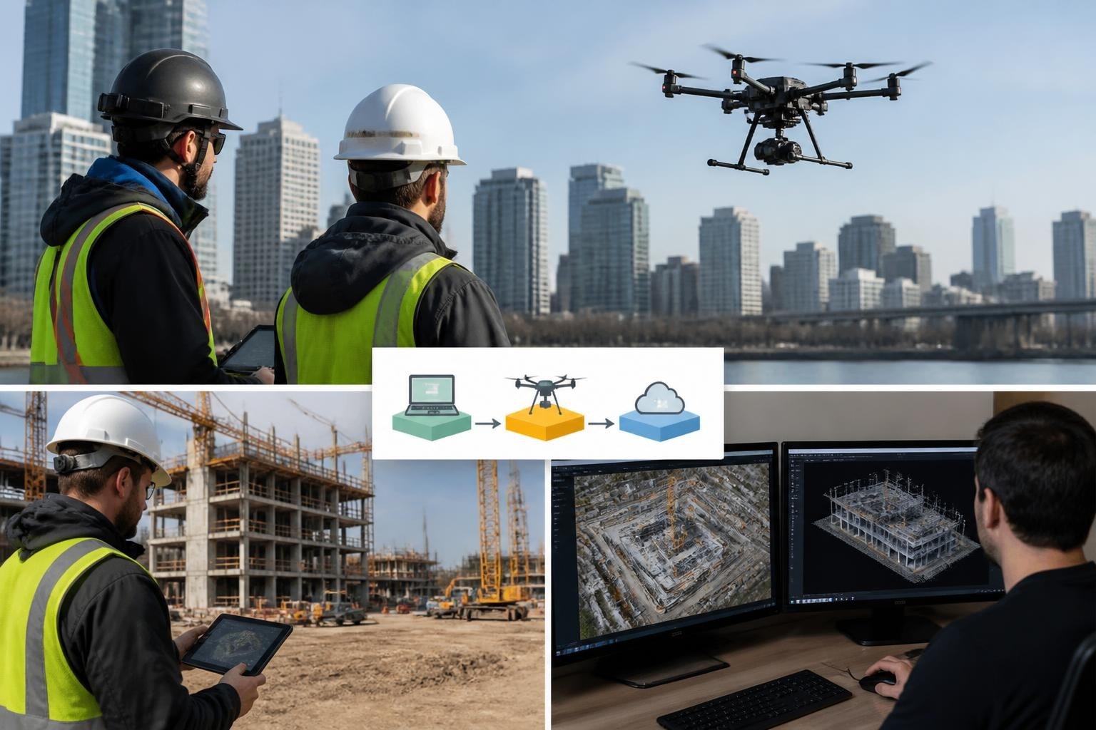
A useful monthly construction progress report should show what changed, where it changed, when the images were captured, and what the project team needs to review next. Dated aerial views, ground-level details, consistent labels, and a short project-team commentary make the record easier to use in an owner meeting.
For contractors, developers, and owners managing Phoenix-area projects, the value comes from being able to compare one reporting period with another. A dramatic overhead photograph can introduce a project. A repeatable set of views helps people follow its progress.
Start with the reporting decision
Before arranging a recurring shoot, identify who receives the report and what they need to understand. An owner may want an overview of activity across several buildings. A superintendent may need a closer record of a particular work area. A marketing team may want images cleared for public use.
Those audiences can share some source material, but their reports serve different purposes. Decide which deliverables belong in the construction record and which can be released outside the project team. Site access, confidentiality, and distribution should be part of the brief.
Include a dated site overview
Begin with an overview that orients the reader. Identify the project, capture date, reporting period, and the buildings or zones being discussed. A simple orientation label can prevent confusion when someone is reviewing a site they have not visited.
Keep the capture date separate from the report date. If a report is issued on the last day of the month using images captured a week earlier, that difference should be clear. The images show conditions at capture, not everything that happened afterward.
Make the comparison easy
Agree on a set of priority views before the first visit. These might include the overall site, each building elevation, access areas, and the work fronts that matter most to the reporting team.
On later visits, aim for comparable framing where site conditions and safe operations allow. Put earlier and current views beside one another, with both dates visible. If a crane, new structure, or access change prevents the original viewpoint, explain the change instead of leaving the reader to interpret it.
Repeatable views support visual comparison. Measurements, quantities, and design comparisons need an appropriate data scope and validation; they should not be inferred from ordinary progress photographs.
Connect the overview to ground-level details
Aerial coverage establishes how the site fits together. Ground photographs can show details that an overhead view does not explain clearly. Link those images through building names, zone labels, or a simple image index.
A practical report structure is:
A dated overview of the site and reporting period.
Matched views of priority buildings or work areas.
Ground-level details tied to those same locations.
Brief notes supplied or confirmed by the project team.
Items requiring follow-up, with an owner assigned by that team.
A link to the organized image archive.
For example, a caption could identify the east elevation and capture date, then direct the reader to the superintendent's note about the next planned activity. The photograph records the visible condition; the responsible team provides the schedule context.
Keep observation separate from approval
An image can show visible activity or an apparent change. It does not, by itself, establish contractual completion, workmanship acceptance, code compliance, or a payment entitlement.
Use descriptive captions and attribute interpretations to the responsible person. “Roof area photographed on the capture date” is a different statement from “roof accepted as complete.” Keep formal inspection, certification, and payment decisions with the appropriate professionals and project authorities.
Match capture timing to the work
Monthly reporting does not always mean monthly capture is enough. Ask whether important work will be covered or changed before the next scheduled visit. A separate milestone visit may be useful when the team needs a record of a particular stage.
For Phoenix metro sites, coordinate access with the superintendent and allow for actual weather, visibility, and changing site activity. Set a reporting deadline and an agreed response if a planned capture cannot proceed. The schedule should support the meeting where the record will be used.
Make the archive useful after the meeting
Use consistent project names, dates, location labels, and version numbers. Agree who receives the report, who can access the original files, and how long the delivery arrangement covers storage. Preserve originals when adding annotations so the underlying record remains available.
Is a progress video enough? It can help communicate the overall change, but readers often need dated stills they can pause, compare, and reference in meeting notes.
Can one package serve owners and marketing? Some imagery can serve both, provided permissions allow it. Prepare separate selections so confidential site details and internal commentary stay with the project team.
Plan your recurring construction coverage
Explore Extreme Aerial Productions' construction documentation services. For a proposal, send us the site location, project stages, reporting audience, preferred frequency, and required deliverables. We can discuss a capture scope that supports the way your team reviews progress.

Comments