


BH Photo Drones: Choosing the Right Aerial Gear for AZ/NV Projects | Extreme Aerial Productions
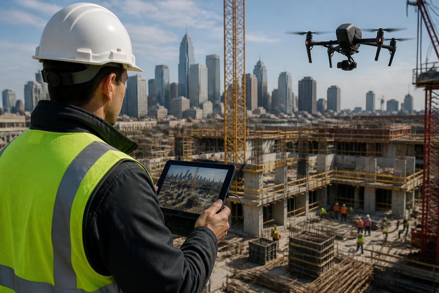
A Phoenix construction superintendent called us in March 2026 with a tight challenge: his team needed updated orthomosaics and contour maps for a 12-acre industrial site before Monday morning permitting. The existing survey was outdated, and inspectors required fresh data. After deploying our Mavic 3 Enterprise with RTK and capturing 340 nadir images over 90 minutes, we delivered processed orthomosaics and 0.5-foot contours within 48 hours. The permit was approved on schedule, and the client avoided a two-week delay that would have cost $18,000 in standby labor. That job reminded us why gear decisions matter: we chose a platform familiar to anyone shopping bh photo drones because it balanced portability, RTK precision, and fast turnaround. The superintendent told us he'd browsed consumer models online but realized he needed a crew that already owned the right rig and knew how to fly it under Part 107.
Why Commercial Crews Research BH Photo Drones Before Booking Services
When project managers search bh photo drones, they're often comparing platforms they've seen on reputable retailer sites to the rigs professional pilots actually deploy. B&H Photo Video stocks popular consumer and prosumer models, from the DJI Mini series to the Inspire 3, plus accessories like ND filters, extra batteries, and hard cases. Browsing that inventory helps clients understand specifications, payload limits, and sensor options. But reading specs online doesn't translate into deliverables on a deadline. Commercial operators already own drones and equipment selected for specific workflows: cinematic aerials, FPV chase shots, RTK mapping, thermal inspections, or LiDAR scans.
We've flown Phoenix film sets, Las Vegas real estate shoots, and Tucson construction sites since 2014. Each client comes with unique constraints: tight shooting windows, FAA airspace coordination, weather limits, or hard deadlines for orthomosaics and CAD exports. A DJI Mavic 3 Classic might look capable on the B&H page, but only field experience tells you whether its 20 MP sensor and 46-minute flight time will cover a 40-acre solar farm at the overlap you need for Pix4D photogrammetry workflows. Consumer models work for previews and scouting, but commercial deliverables demand repeatable accuracy and backup rigs.
Matching BH Photo Drones to Real-World Project Constraints
When you browse bh photo drones, you'll see flight time, gimbal specs, and sensor resolution. In the field, you balance those specs against airspace, client timelines, and deliverable formats. Here's how we translate online specifications into production decisions:
Flight time versus site coverage: A 30-minute rated battery yields 22-24 minutes of usable flight after takeoff, climb, and reserve. Mapping a 15-acre site at 75% front and side overlap requires roughly three batteries if you fly at 200 feet AGL and optimize routes.
Sensor size and resolution for cinematic work: A Mavic 3 Cine carries a Four Thirds sensor that captures 5.1K Apple ProRes, cutting cleanly into Premiere and DaVinci timelines without transcoding delays.
RTK versus post-processed PPK: Real-time kinematic correction locks ground control to within 1 cm horizontal, crucial for drone surveying and mapping projects that feed civil design software.
Thermal payloads for inspections: An M30T or Mavic 3 Thermal combines visible and radiometric imaging, delivering thermal JPEGs and R-JPEGs that engineers annotate directly in reports.
We maintain multiple airframes because no single platform covers every job. A Las Vegas commercial shoot might demand the Inspire 3's interchangeable lenses and full-frame X9 sensor for hero shots, while a Scottsdale roof inspection calls for a compact thermal unit that fits tight airspace and quick turnarounds.
Project Snapshot: Matching Gear to a Phoenix Industrial Mapping Job
Client: Phoenix-area general contractor managing industrial development Location: West Phoenix, AZ (Class D airspace) Industry: Construction and civil engineering Deliverables: Orthomosaic (GSD 0.3 in/px), 0.5-foot contours, volume calculations for cut/fill Drone/Sensor: DJI Mavic 3 Enterprise with RTK, 20 MP visible sensor Turnaround: 48 hours from flight to final deliverables Constraints: Airspace coordination (LAANC approval), existing survey older than six months, permit deadline Monday 8 a.m. Flight Details: 90-minute session, 340 nadir images at 200 feet AGL, 75% front/side overlap, five ground control points for PPK verification
The superintendent originally searched bh photo drones to compare consumer mapping options but realized he needed someone with RTK capability and fast processing. We coordinated LAANC clearance Friday morning, flew Friday afternoon, and delivered processed orthomosaics and contours Sunday evening. The accuracy met ASPRS Class II standards, and the permit was submitted on time. According to the 2025 Drone Industry Insights report, 68% of construction projects using drone data cite faster permitting and reduced survey costs as primary ROI drivers.
How We Selected the Mavic 3 Enterprise for This Job
The site's 12-acre footprint and urban location made portability and RTK precision the deciding factors. A larger airframe would have required LAANC modifications and longer setup, while a consumer model without RTK wouldn't hit the 0.5-foot contour spec. The Mavic 3 Enterprise's RTK module locked to a local CORS network, delivering horizontal accuracy within 1.5 cm and vertical within 2.5 cm. We verified with five ground control points and found zero drift across the dataset.
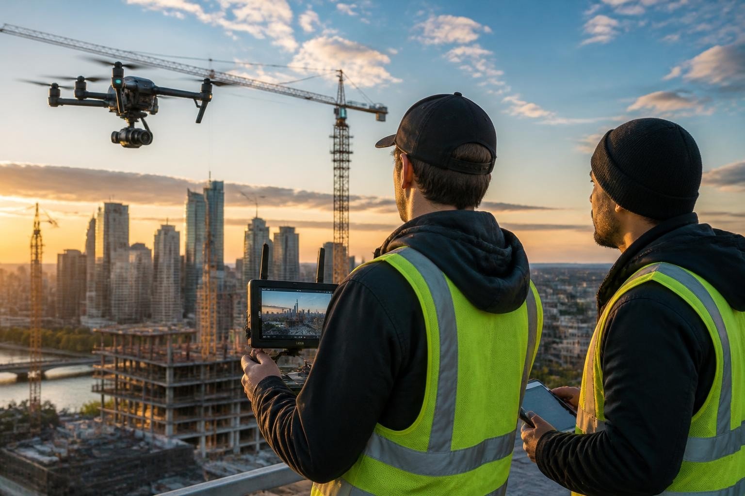
Field Note (Mark, Lead Pilot): We chose the Mavic 3 Enterprise over our Phantom 4 RTK because the newer platform's larger sensor captures better detail in shadowed areas near steel framing, and its obstacle avoidance let us fly tighter grids near active crane zones. The 48-hour turnaround was possible because we processed overnight in Pix4Dmapper and skipped manual tie-point cleanup. The RTK base station saved us two hours of GCP marking, which mattered when the site superintendent needed results before Monday morning.
Understanding Sensor and Gimbal Specs When Comparing BH Photo Drones
When project managers browse bh photo drones, they often focus on megapixels and video resolution without understanding how sensor size and gimbal stabilization affect final deliverables. A 20 MP sensor sounds identical whether it's mounted in a $500 consumer quad or a $3,000 enterprise platform, but real-world performance diverges in dynamic range, low-light handling, and lens distortion.
Specification | Consumer Model (e.g., Mini 3 Pro) | Prosumer Model (e.g., Mavic 3 Classic) | Enterprise Model (e.g., Mavic 3 Enterprise) |
Sensor size | 1/1.3" CMOS | Four Thirds CMOS | Four Thirds CMOS + RTK module |
Resolution | 48 MP (pixel-binned to 12 MP video) | 20 MP stills, 5.1K video | 20 MP stills, 4K video, RTK telemetry |
Flight time | ~34 minutes | ~46 minutes | ~45 minutes |
Obstacle avoidance | Tri-directional | Omnidirectional APAS 5.0 | Omnidirectional APAS 5.0 |
Thermal option | None | None | Available (M30T variant) |
Larger sensors capture more light per pixel, which translates to cleaner shadows and better color grading latitude in post. When we deliver cinematic aerials for TV and corporate clients, editors expect footage that matches Alexa Mini or RED shots. A Four Thirds sensor in ProRes closes that gap without expensive transcoding or noise reduction passes.
Why We Prioritize Gimbal Performance and Lens Quality Over Megapixels
High megapixel counts help with cropping and digital zooms, but gimbal stability and lens distortion matter more for repeatable aerial moves and accurate photogrammetry. A three-axis mechanical gimbal isolates vibration, delivering smooth pans and tilts that cut cleanly into edits. Lens distortion coefficients affect how mapping software reconstructs 3D point clouds: radial distortion from cheap optics can introduce vertical errors of several inches, even with perfect overlap and RTK.
We calibrate lenses before every mapping campaign and verify distortion parameters in Pix4D. Consumer models often use electronic image stabilization (EIS), which crops the frame and introduces digital artifacts under fast motion. That's fine for social media clips but fails when a director wants a 10-second push-in at 4K that holds focus and color consistency.
How Commercial Pilots Translate BH Photo Drones Specs Into Field Performance
Browsing bh photo drones online shows you manufacturer claims: 46-minute flight time, 15 km transmission range, 20 MP resolution. In Arizona and Nevada field conditions, those numbers shift. Wind at altitude drains batteries faster, desert heat reduces cell capacity, and RF interference near industrial sites cuts control range. We plan missions assuming 70% of rated performance and carry double the batteries we'd need in ideal conditions.
According to 2024 FAA UAS data, commercial operators logged over 1.2 million Part 107 flight hours, with flight planning and redundancy cited as the top factors in zero-incident operations. We've flown over 800 commercial missions since 2014 with zero hull loss or safety incidents because we never rely on a single battery, controller, or airframe. When a Las Vegas film crew books us for a two-day shoot, we arrive with two complete rigs, spare props, ND filters for changing sun angles, and pre-charged batteries rotated through temperature-controlled cases.
How We Adapt Workflows to Arizona and Nevada Environmental Factors
Phoenix summer temperatures reach 115°F, which pushes lithium polymer batteries above safe charging thresholds. We store batteries in climate-controlled cases and monitor cell voltage after every flight. Las Vegas winter winds gust to 30 mph, requiring lower altitude missions and gimbal adjustments to prevent horizon drift. Desert dust infiltrates cooling vents, so we inspect motors and filters after every site and replace props at half the manufacturer's recommended cycle.
Temperature management: We never charge batteries in direct sunlight or operate below 40°F. Cold weather reduces flight time by 20-30%, so winter mapping missions require extra battery sets and shorter flight legs.
Wind planning: We schedule film shoots before 10 a.m. or after 4 p.m. when thermal convection is lowest. Mapping flights tolerate higher winds because we fly slower and maintain consistent altitude.
Dust mitigation: We clean sensor filters and gimbal bearings after every desert site. A single grain of sand in a motor bearing can cause vibration that ruins smooth footage.
Airspace coordination: Phoenix Sky Harbor and Las Vegas McCarran control significant Class B and C airspace. We file LAANC requests 48 hours ahead and coordinate with tower when required, ensuring no delays on shoot day.
These field adaptations don't appear in bh photo drones product descriptions, but they determine whether you deliver usable imagery or return empty-handed. A Tucson surveyor told us he'd attempted his own mapping flight with a new consumer quad and lost two batteries to thermal shutdown before capturing enough overlap for a complete orthomosaic.
Comparing BH Photo Drones to the Rigs We Deploy Daily
When clients ask why we recommend hiring a professional crew instead of purchasing bh photo drones themselves, the answer comes down to gear selection, Part 107 compliance, insurance, and workflow integration. A $2,000 Mavic 3 Classic delivers excellent footage in skilled hands, but turning that footage into client-ready deliverables requires motion design software, color grading expertise, and hard drive redundancy. Mapping missions add another layer: photogrammetry processing licenses (Pix4D, Agisoft, RealityCapture) cost $3,500-$8,500 annually, and learning to set ground control, optimize flight plans, and troubleshoot point cloud noise takes months of field practice.
Capability | DIY Approach (Client Buys BH Photo Drones) | Hiring Extreme Aerial Productions |
Upfront cost | $2,000-$10,000 (airframe, batteries, case) | $0 (pay per project) |
Part 107 certification | $175 test + study time | Included (certified pilots since 2014) |
Insurance coverage | $1,200-$3,000/year liability | Included (fully insured operations) |
Processing software | $3,500-$8,500/year (Pix4D, Agisoft) | Included (deliverables ready for CAD/GIS) |
Airspace coordination | Client files LAANC, coordinates ATC | We handle all airspace clearances |
Backup equipment | Single airframe risk | Dual rigs, spare batteries, redundant controllers |
Turnaround speed | Learn processing, troubleshoot errors | 24-72 hour delivery on standard projects |
We've seen Phoenix engineering firms purchase mapping drones and then call us six months later because their in-house operator couldn't achieve the vertical accuracy their civil designs required. Photogrammetry best practices demand precise overlap, consistent altitude, and stable lighting. One missed flight parameter can degrade accuracy from 2 cm to 20 cm, rendering the dataset useless for grading plans or cut/fill volumes.
When Buying BH Photo Drones Makes Sense Versus Hiring a Crew
Internal teams benefit from owning drones when they need daily site documentation, repetitive inspections, or instant previews for design reviews. A Phoenix home builder doing weekly progress updates across five active sites might justify a Mavic 3 and train a superintendent to capture nadir stills. That workflow doesn't require RTK, advanced processing, or color grading. But when that same builder needs hero footage for a national marketing campaign or a certified topo for permit submittal, they call us because the stakes and standards change.
We've partnered with Las Vegas real estate firms that own consumer drones for agent walkthroughs but hire us for premium real estate drone photography that appears in luxury listings and investor decks. The gear might look similar, but lens selection, lighting control, and editing consistency separate casual aerials from portfolio-grade imagery.
Integrating BH Photo Drones Into Broader Production Workflows
Commercial projects rarely involve just aerial footage. Film crews need drone shots that match ground camera color, movement, and pacing. Construction teams need orthomosaics that import cleanly into Civil 3D, with coordinate systems and datum matching their base survey. When you book a professional crew, you're hiring expertise in file formats, metadata, and delivery pipelines, not just a flying camera.
We've delivered to Adobe Premiere timelines, DaVinci Resolve projects, Autodesk BIM 360, Trimble Business Center, and ArcGIS Pro. Each platform has quirks: Premiere handles ProRes natively but chokes on H.265, Civil 3D requires geotiffs with embedded coordinate systems, and ArcGIS prefers LAS point clouds with ASPRS classification codes. A drone blog post we wrote last year detailed how we export Pix4D outputs in seven different formats to match client software, saving them hours of manual conversion.
According to a 2023 peer-reviewed study on real-time UAV mapping, workflow integration and data handoff account for 30-40% of total project time in drone-based surveys. Clients don't want raw imagery; they want deliverables that drop into existing processes without friction. When a Scottsdale civil engineer receives our orthomosaic, contours, and volume report, he opens the geotiff in Civil 3D, confirms the coordinate system matches his base survey, and begins grading design without reformatting or coordinate transformation.
Field Note: Why We Export Multiple Formats for Every Mapping Deliverable
When we complete a mapping flight, we don't just hand over a single orthomosaic. We export geotiffs at multiple resolutions (full resolution for design, compressed for web sharing), LAS point clouds with and without ground classification, DXF contours at 0.5-foot and 1-foot intervals, and a PDF report with accuracy stats and reference images. A Phoenix contractor told us he'd hired another crew that delivered only a JPEG ortho with no coordinate data, forcing his surveyor to manually georeference the file and delaying the project by three days. That kind of handoff failure costs more than the flight itself.
We learned early that delivering the right format the first time eliminates revision loops and keeps projects on schedule. It's why repeat clients book us for long-term construction drone photography coverage: they know we'll deliver files that integrate with zero friction.
Real-World Examples: BH Photo Drones in Arizona and Nevada Commercial Projects
We've flown hundreds of missions across Arizona and Nevada since 2014, each requiring a specific combination of airframe, sensor, and workflow. A sampling of recent projects shows how we match bh photo drones specifications to client needs:
Sedona real estate luxury listing (April 2026): Client needed twilight aerials and interior-exterior reveal shots. We deployed a Mavic 3 Cine for 5.1K ProRes aerials and an FPV rig for dynamic indoor-to-outdoor transitions. Delivered color-graded clips in 36 hours; listing went live with hero video that generated 4,200 views in the first week.
Henderson solar farm inspection (February 2026): 80-acre photovoltaic array required thermal and RGB inspection for underperforming panels. We flew a Mavic 3 Thermal, capturing radiometric JPEGs and visible imagery of 12,000+ panels over two days. Delivered annotated thermal reports identifying 18 hot spots; client dispatched repair crews within 48 hours, preventing estimated $9,500 in lost generation.
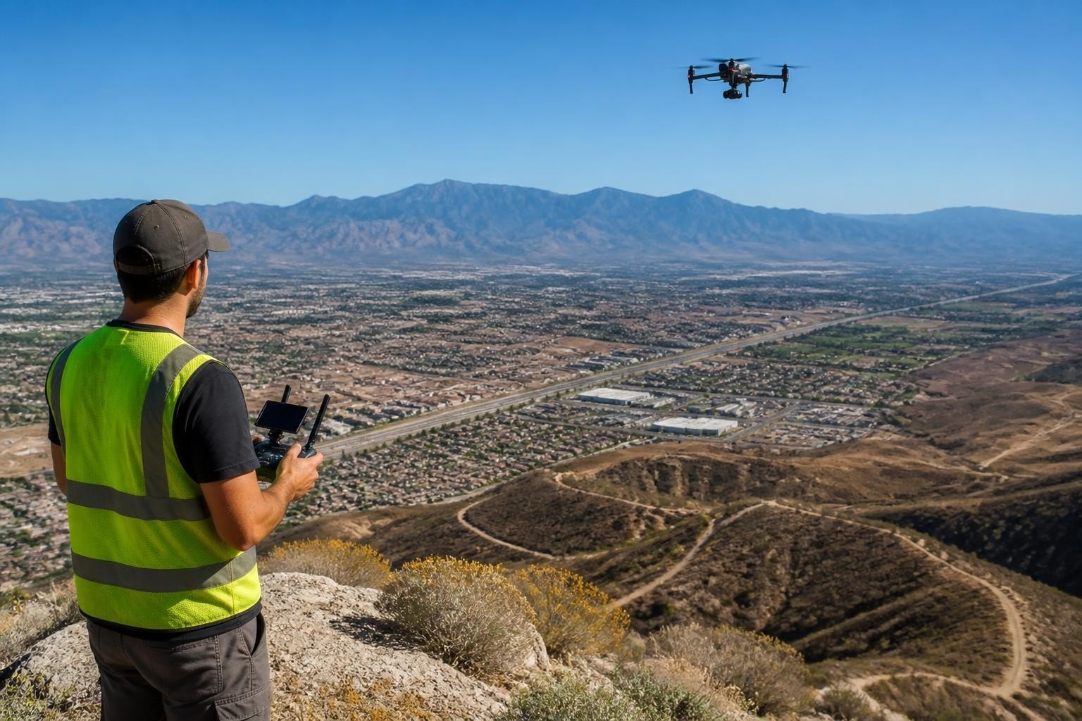
Flagstaff highway corridor mapping (January 2026): ADOT contractor needed a 2.5-mile corridor orthomosaic and cut/fill volumes for roadway widening. We flew a Phantom 4 RTK in two sessions, processing 1,840 images into a 0.5-inch GSD orthomosaic and 0.25-foot contours. Delivered CAD-ready geotiffs and DXF contours in 72 hours; accuracy verified against ground survey to within 0.8 cm horizontal.
Each project started with a client searching for drone services, often after comparing bh photo drones specs online and realizing they needed a crew that already owned the right gear and knew how to deliver usable files on tight timelines.
Navigating Compliance and Safety When Using BH Photo Drones Commercially
Operating drones commercially in the United States requires FAA Part 107 certification, current registration, and adherence to airspace rules. Buying bh photo drones is straightforward; using them legally for paid work demands ongoing training, insurance, and operational discipline. Part 107 pilots must pass an aeronautical knowledge test covering airspace, weather, loading, and emergency procedures. The certificate expires every 24 months, requiring recurrent training to renew.
Beyond the license, commercial operators need liability insurance (minimum $1 million per occurrence), hull coverage for owned equipment, and formal safety management systems. We maintain detailed flight logs, pre-flight checklists, and incident reporting procedures. When we fly near active construction sites or film sets with talent, we coordinate safety briefings and establish no-fly zones to protect workers and crew.
According to 2025 FAA statistics, Part 107 waivers for nighttime operations, flights over people, and beyond visual line of sight increased 22% year-over-year, reflecting industry demand for complex missions. We've secured over 40 operational waivers since 2014, enabling twilight shoots, roof inspections over occupied buildings, and extended-range corridor mapping. Each waiver requires risk mitigation documentation, proving that commercial drone work involves far more than just owning capable hardware.
Choosing the right drone starts with understanding your project requirements, but translating bh photo drones specs into deliverables demands field expertise, processing workflows, and compliance knowledge that only comes from daily commercial operations. Since 2014, we've matched airframes, sensors, and flight plans to hundreds of Arizona and Nevada projects, delivering orthomosaics, cinematic aerials, and inspection data that crews act on immediately. When you need precise results and zero drama, Extreme Aerial Productions brings the right rig, the permits, and the experience to keep your project on schedule. Request a fast quote or book a 15-minute scout call, and we'll lock the plan, the gear, and the date.
Frequently Asked Questions
What drone models do professional crews use versus what's available through BH Photo drones? Professional crews deploy enterprise platforms like the Mavic 3 Enterprise, Phantom 4 RTK, and Inspire 3, often with RTK modules, thermal sensors, or interchangeable lenses. B&H Photo stocks many of these models plus consumer variants, but commercial operators choose specific configurations based on deliverable specs, airspace constraints, and client timelines. We maintain multiple airframes to match each project's needs rather than relying on a single all-purpose drone.
How do I know if I should buy a drone or hire a professional crew? If you need daily site documentation, simple overviews, or in-house previews, purchasing a consumer or prosumer model makes sense. If you require certified surveys, CAD-ready orthomosaics, cinematic footage for broadcast, or compliance with tight airspace and insurance requirements, hiring a Part 107 crew eliminates upfront capital costs and delivers faster, more accurate results. We've worked with clients who own drones but call us for projects where precision and liability matter.
What turnaround time should I expect for drone mapping deliverables in Phoenix or Las Vegas? Standard mapping projects with RTK or PPK workflows typically deliver within 48-72 hours from flight to final orthomosaics, contours, and volume reports. Rush projects can be completed in 24 hours if flown early in the week and processed overnight. Cinematic aerials usually deliver within 36 hours for color-graded clips; longer edits with motion graphics take 5-7 business days. We communicate timelines upfront and build in buffer for weather or airspace delays.
Do you coordinate airspace clearances and permits for drone flights? Yes, we handle all LAANC requests, Part 107 waivers, and ATC coordination as part of our service. Phoenix and Las Vegas airspace includes multiple Class B, C, and D zones that require advance clearance. We file requests 48-72 hours ahead, communicate with tower when required, and ensure compliance with all FAA regulations. Clients receive confirmation and can focus on their project rather than navigating airspace bureaucracy.
What accuracy can I expect from drone mapping compared to traditional ground surveys? RTK- and PPK-enabled drones achieve horizontal accuracy within 1-3 cm and vertical accuracy within 2-5 cm when flown with proper overlap and ground control. This meets ASPRS Class II standards and is sufficient for grading design, cut/fill volumes, and preliminary engineering. Traditional ground surveys remain the standard for boundary work and final design certification, but drone mapping delivers faster coverage at lower cost for sites over 5 acres. We verify accuracy against ground control on every project and include precision stats in our deliverable reports.
Comments