


Drone Working: Real Results from Phoenix & Nevada Projects | EAP
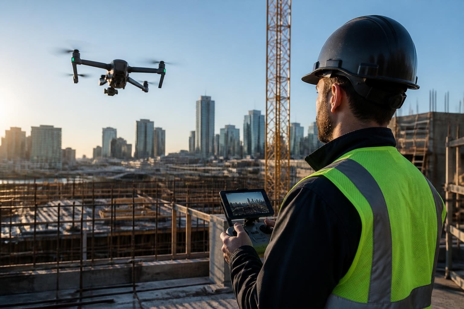
Drone working isn't theory. It's scheduling a Phoenix tower-crane survey for 6 AM, clearing Class B airspace by 5:30, launching a Matrice 350 RTK with a Zenmuse L2 LiDAR, capturing 18 scan positions in 90 minutes, and delivering a classified point cloud to the structural engineer by noon the same day. In March 2026, we ran that exact workflow for a downtown highrise retrofit, and the GC used our elevations to spot a 4.2-inch anchor-plate deviation before the steel package shipped. That one catch saved three weeks and approximately $47,000 in rework. Drone working means showing up with the right aircraft, the right sensor, the right permits, and a plan that keeps your schedule intact.
What Drone Working Actually Means on Commercial Projects
Drone working is the operational execution of unmanned aerial systems to capture imagery, video, or spatial data under commercial contract. You hire a FAA Part 107 certified remote pilot, define deliverables, agree on turnaround, and receive files you can use immediately in post-production, CAD, or project meetings.
We've flown more than 1,200 missions across Arizona and Nevada since 2014. Every job follows the same structure: intake call, site assessment, airspace coordination, flight plan, execution, processing, delivery. The workflow doesn't change whether you need 4K aerials for a Sedona resort commercial or orthomosaics for a Las Vegas freeway widening.
Client problems we solve regularly:
Film and TV crews need repeatable hero shots that match storyboards and cut cleanly into edits
Construction supers need weekly progress documentation with geo-tagged timestamps for owner updates
Civil engineers need sub-2 cm horizontal accuracy topography to design grading and drainage
Surveyors need contour intervals, breaklines, and volumes that meet state board standards
Each deliverable ties to a specific sensor, processing pipeline, and quality checkpoint. We don't launch until the workflow is locked and the client confirms the output format.
Project Snapshot: Downtown Phoenix Structural Survey
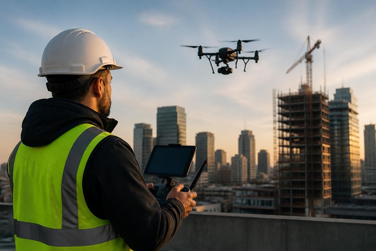
Client: Structural engineering firm Location: Phoenix, AZ (Class B airspace, 1.8 miles from PHX tower) Industry: Construction (highrise retrofit) Deliverables: Classified LAS point cloud, orthophoto mosaic, inspection stills of anchor plates and balcony cantilevers Aircraft & Sensor: DJI Matrice 350 RTK with Zenmuse L2 LiDAR (ground sample distance 1.2 cm at 50 m AGL) Turnaround: Same-day delivery (flight 6:00–7:30 AM, processed data delivered by 12:00 PM) Constraints: Morning-only window due to tower crane operations; required ATC coordination and LAANC approval; high-wind forecast (gusts to 22 mph by 9 AM) Airspace: Class B surface area; filed LAANC request 48 hours prior, received altitude authorization to 400 feet AGL
The client needed elevation verification on 14 floors of exterior anchor points before the cladding subcontractor mobilized. Traditional methods would have required scaffolding or a man-lift, adding two days and roughly $12,000 in rental and labor. Our LiDAR scan gave them every measurement in one morning.
How Drone Working Fits Into Film and Commercial Production
On set, drone working means hitting your marks, matching lighting conditions, and delivering footage that doesn't slow down the edit. Directors and DPs brief us on shot composition, camera movement, and the emotional tone they want. We translate that into flight parameters: altitude, speed, gimbal pitch, and lens choice.
For a February 2026 luxury-auto commercial in Scottsdale, the agency needed a single continuous shot that started 200 feet above the vehicle, descended to 8 feet, circled the car twice, then rose back to reveal the mountain backdrop. We programmed the waypoint mission on a DJI Inspire 3 with an X9-8K gimbal, rehearsed it three times, then captured five takes in 22 minutes. The DP selected take three. That shot is the commercial's opening 18 seconds.
What matters in aerial photography and videography for commercial clients:
Pre-visualization: We walk the shot list with the director, confirm sun position and weather, and rehearse complex moves before calling "action."
Gimbal control: Smooth starts and stops, consistent speed, no hunting or wobble.
Color science: Log profiles (D-Log M, ProRes RAW HQ) preserve dynamic range so colorists have room to grade.
Backup rigs: We bring a second aircraft with matching sensor and settings. If one unit fails, we swap and keep shooting.
Coordination: We stay on comms with the AD, match call times, and integrate with the day's shooting schedule.
According to the 2024 FAA Aerospace Forecast, commercial UAS operations in film and media grew 19% year-over-year, with approximately 34,000 active remote pilots holding waivers for night or populated-area work. That growth reflects tighter budgets and faster turnarounds. Productions can't afford two-day setups for a single aerial anymore.
We've logged 340+ film and TV missions since 2014, from indie features to national commercials. Every mission ends the same way: footage delivered in the agreed codec, named according to the post house's convention, and uploaded to the client's server before wrap.
Field Note: Why We Fly Inspire 3 on Narrative Work
Mark, our lead cinema pilot, prefers the Inspire 3 for scripted projects because the full-frame X9 sensor matches the Alexa Mini's color science and the dual-operator setup lets the pilot focus on flight path while the camera operator fine-tunes framing in real time. On the Scottsdale auto spot, that division of labor gave us smooth, intentional moves that didn't look like drone footage. The client specifically noted that the aerials felt "integrated, not tacked on."
Construction and Engineering: Turning Drone Working Into Actionable Data
Drone working on construction sites is about repeatability and accuracy. Supers need progress photos from the same vantage points every week so they can compare conditions, track earthwork, and document contractor performance. Engineers need spatial data with known error margins so they can stake roads, design slopes, and calculate cut-and-fill volumes.
In April 2026, we started a six-month progress series for a 240-acre mixed-use development in Henderson, NV. The GC wanted bi-weekly orthomosaics at 1.5 cm GSD, plus oblique stills of each building pad. We fly a DJI Mavic 3 Enterprise with RTK, capture 600–800 images per flight, process in Pix4D, and deliver georeferenced TIFFs and a web-shareable map within 48 hours.
Deliverables we provide on construction projects:
Deliverable Type | Use Case | Typical Accuracy | Processing Time |
Orthomosaic | Site layout, progress tracking, area measurements | ±2–3 cm horizontal | 24–48 hours |
Digital Surface Model (DSM) | Grading verification, drainage design | ±5 cm vertical | 24–48 hours |
Contour map | Topographic surveys, civil design | 0.5 ft or 1 ft intervals | 48 hours |
Volume calculation | Stockpile quantities, cut/fill analysis | ±1–2% | 12–24 hours |
Point cloud (LiDAR) | As-built documentation, clash detection | ±2 cm horizontal, ±3 cm vertical | Same day to 48 hours |
Each dataset is delivered with a processing report that documents ground control, check-point residuals, and coordinate system. Engineers can import our outputs directly into Civil 3D, Carlson, or 12d without translation errors.
Deloitte's 2024 Engineering & Construction outlook found that 68% of surveyed contractors now use drones for progress monitoring, and 54% reported measurable reductions in schedule delays due to improved coordination and early issue detection. Those numbers track with what we see in Phoenix and Las Vegas: the GCs who fly monthly or bi-weekly catch problems faster and spend less time in reactive mode.
Real Numbers from a Henderson Development Project
Over six months (April–September 2026), our bi-weekly flights on the Henderson project documented 14 milestones, caught two grading errors before paving crews mobilized, and provided the owner with visual proof of progress for each draw request. The GC estimates our data prevented at least $83,000 in rework and kept the schedule on track through monsoon season.
We delivered 26 orthomosaics, 26 DSMs, 12 stockpile volume reports, and more than 4,800 geo-tagged stills. Total flight time: 31 hours. Total turnaround from flight to delivery: never more than 48 hours.
How We Plan and Execute Drone Working in Controlled Airspace
Most commercial work in Phoenix and Las Vegas happens in or near controlled airspace. PHX and LAS are both Class B, with surface areas extending miles beyond the airport property. Drone working in these zones requires advance coordination, altitude authorizations, and sometimes real-time communication with air traffic control.
We file every mission through the FAA's LAANC system, which grants near-instant approvals for flights under pre-authorized altitude ceilings. For jobs that exceed those ceilings or fall within zero-authorization grids, we submit manual airspace waivers 90 days in advance. On the March 2026 Phoenix highrise scan, we needed 400 feet AGL in a 200-foot LAANC ceiling. We filed a waiver in December 2025, received approval in February, and coordinated directly with PHX tower the morning of the flight.
Steps in our airspace-coordination workflow:
Site assessment: We verify coordinates, check airspace classification, and identify nearby airports, heliports, and restricted areas.
LAANC filing: We submit the request with flight date, time, maximum altitude, and aircraft registration. Approval typically arrives within seconds for standard requests.
Manual waiver (if needed): For operations above LAANC ceilings, near stadiums, or under special-use airspace, we file FAA Form 7711-1 and include a risk-mitigation plan.
ATC coordination: For flights in Class B or C surface areas, we call the tower 10–15 minutes before launch to confirm approval and receive any additional instructions.
Real-time monitoring: We monitor LiveATC and ATIS throughout the flight. If conditions change, we land immediately and reassess.
According to NIST's PSCR UAS Working Group materials, airspace integration and communication protocols remain the top safety concern for urban commercial operations. We treat every controlled-airspace flight as a collaborative event with ATC, not a notification.
In 2025, FAA data showed that LAANC processed more than 890,000 airspace authorizations nationwide, with approval rates above 97% for requests within facility maps. That system works when operators file accurate requests and respect altitude limits.
Field Note: Why We Always Call the Tower
Even when LAANC grants automatic approval, we call PHX or LAS tower before launch if we're inside the surface area. Controllers appreciate the heads-up, and we've had two instances where tower asked us to delay 10 minutes due to helicopter traffic or a go-around. Those calls take 90 seconds and prevent conflicts. It's part of professional drone working.
Choosing the Right Aircraft and Sensor for Each Job
Drone working demands the right tool for the task. A Mavic 3 Enterprise works for most progress documentation and real-estate aerials. An Inspire 3 is necessary when you need full-frame cinema quality and dual-operator control. A Matrice 350 RTK with LiDAR is the only choice when you need sub-2 cm accuracy and penetration through vegetation or structural clutter.
We carry five platforms and rotate them based on deliverable requirements, site constraints, and weather. Each aircraft lives in a dedicated case with charged batteries, formatted cards, calibrated sensors, and a pre-flight checklist.
Our current fleet and typical use cases:
Platform | Primary Sensor | Best For | Limitations |
DJI Inspire 3 | Zenmuse X9-8K (full-frame) | Cinema, commercials, narrative | 28-minute flight time; requires dual operator for complex moves |
DJI Matrice 350 RTK | Zenmuse L2 LiDAR or P1 (45 MP) | Surveying, mapping, inspection | Heavy (9.2 kg); requires open launch area |
DJI Mavic 3 Enterprise | 20 MP wide + 56× zoom | Progress docs, roof inspections | Lower resolution than P1; limited manual exposure control |
DJI FPV (custom) | GoPro Hero 12 (5.3K) | FPV chase, immersive one-takes | Manual flight; higher skill requirement; no obstacle avoidance |
DJI Mini 3 Pro | 48 MP 1/1.3" CMOS | Scouts, tight-access sites | Consumer-grade gimbal; not suitable for paying clients in high-wind |
We don't use the Mini 3 Pro on contracted jobs, but it's excellent for location scouts and personal reconnaissance. Everything else in the fleet meets commercial-grade durability and redundancy standards.
For thermal drone inspections, we mount a Zenmuse H20T on the Matrice 350. That combo delivers radiometric TIFF files with embedded temperature data, which roofing contractors and facility managers import directly into FLIR Tools or Thermal Studio for analysis.
Processing and Delivering Drone Working Results
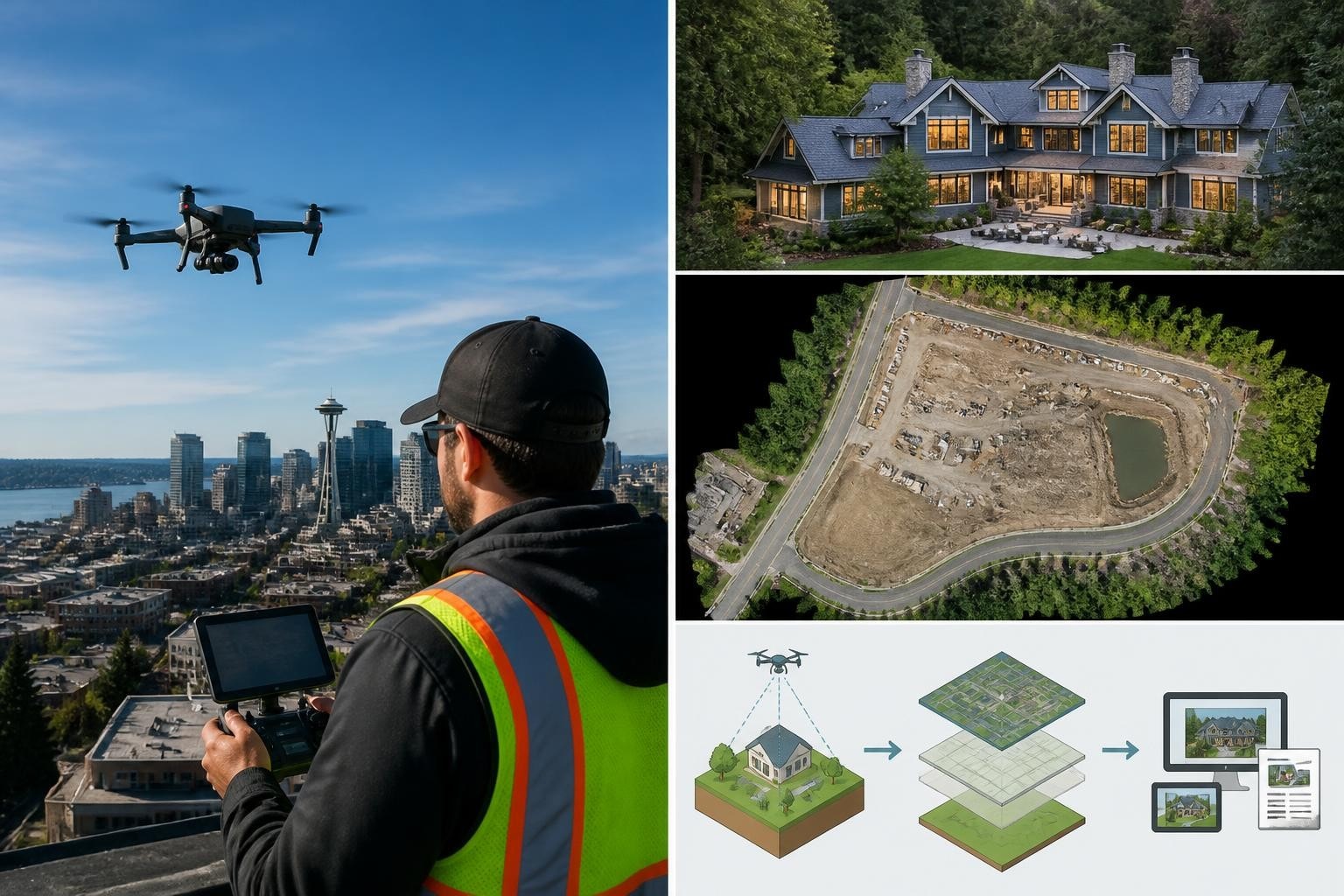
Raw flight data is useless until it's processed, validated, and formatted for the client's workflow. We handle all post-processing in-house using Pix4D, DJI Terra, and Adobe Premiere Pro. Each dataset goes through QA before delivery: we check coordinate alignment, inspect for processing artifacts, verify file naming, and confirm output resolution.
For the Henderson development project, we process each flight in Pix4D Mapper. The workflow runs overnight on a workstation with dual RTX 4090 GPUs. By morning, we have an orthomosaic, a DSM, a point cloud, and a contour shapefile. We upload everything to the client's Procore folder and send a delivery notification with checksum hashes.
Processing steps for a typical survey mission:
Import and inspect: Load images, verify GPS tags, check overlap and lighting consistency.
Ground control (if required): Input GCP coordinates, mark targets in images, run initial alignment.
Dense matching: Generate point cloud at highest quality setting (takes 4–8 hours depending on image count).
Mesh and texture (if needed): Build 3D mesh for visualization or BIM integration.
Orthomosaic generation: Project images onto DSM, blend seams, apply radiometric correction.
Contour extraction: Interpolate elevation at specified intervals, export as DXF or SHP.
QA: Check accuracy against check points, inspect for gaps or distortions, validate coordinate system.
Delivery: Package files, generate processing report, upload to client portal or shared drive.
Turnaround depends on dataset size and deliverable complexity. A simple progress orthomosaic takes 24 hours. A full survey with ground control and contours takes 48 hours. Same-day delivery is possible for point clouds when we process on-site using a mobile workstation.
IEEE Spectrum's drone coverage highlights advances in real-time photogrammetry and edge processing, but for now, desktop workstations still deliver faster, more accurate results than onboard compute. We'll adopt edge processing when accuracy and speed match our current pipeline.
Insurance, Permits, and Risk Management in Drone Working
Every commercial drone operation carries liability. Aircraft can fail, weather can shift, and third parties can wander into the flight zone. We mitigate risk through insurance, permitting, and operational discipline.
We carry $5 million in general liability coverage and $1 million in hull insurance. Every client receives a certificate of insurance before we launch. For projects on public land or near critical infrastructure, we pull permits from the managing agency and file site-specific safety plans.
On the downtown Phoenix highrise scan, we coordinated with building security, posted no-fly notices on adjacent properties, and stationed a visual observer on the roof to monitor pedestrian traffic below. The flight lasted 90 minutes. No incidents, no complaints, and the client's risk manager approved our safety documentation without revision.
Risk-management practices we follow on every mission:
Pre-flight airspace check (LAANC, NOTAMs, TFRs)
Weather assessment (wind speed, visibility, ceiling, precipitation forecast)
Site survey (identify hazards, egress routes, emergency landing zones)
Crew briefing (roles, communication protocols, abort criteria)
Equipment inspection (props, motors, batteries, GPS signal, control-link strength)
Backup plans (alternate launch site, weather delay, equipment failure)
We also maintain detailed flight logs with timestamps, coordinates, and mission notes. Those logs serve as evidence if a client disputes deliverables or if an incident triggers an FAA inquiry.
According to EASA's U-space framework, standardized operational procedures and geo-awareness systems reduce collision risk by up to 80% in dense urban environments. While U-space applies to European operations, the principles of airspace deconfliction, real-time tracking, and risk-based planning are universal.
Why Turnaround and Communication Matter in Drone Working
Construction schedules and production timelines don't wait. If we promise a 48-hour turnaround, we deliver in 48 hours or we call the client and explain why. If weather scrubs a flight, we offer the next available window and adjust pricing if delays impact the project.
Clear communication prevents scope creep, missed expectations, and rework. We confirm deliverables in writing before every flight. We send progress updates during processing. We ask for feedback after delivery and adjust workflows if the client needs a different format or resolution.
On the Henderson project, the GC initially requested weekly flights. After the first month, they realized bi-weekly coverage gave them enough granularity without overwhelming their team with data. We adjusted the schedule, reduced the contract value, and kept the relationship transparent. They've since referred us to two other projects in Las Vegas.
What clients tell us matters most:
Responsiveness (we answer calls and emails within two hours during business days)
Reliability (we show up on time with the right gear and backups)
Accuracy (our data matches ground truth within documented error margins)
Simplicity (we deliver files in the formats they already use, with clear naming and folder structure)
We don't oversell capabilities or promise results we can't deliver. If a project requires accuracy we can't achieve with our gear, we say so and recommend a partner with the right equipment.
Drone working is planning, execution, and delivery. It's clearing airspace, matching the sensor to the task, processing data to spec, and showing up when you say you will. Since 2014, we've built our reputation on those fundamentals across Arizona and Nevada. Whether you need cinematic aerials for a commercial shoot, progress documentation for a build, or survey-grade topography for engineering, we bring the right aircraft, the right workflow, and zero surprises. Extreme Aerial Productions is ready when you are: request a quote or book a 15-minute call and we'll lock the plan, the gear, and the date.
Frequently Asked Questions About Drone Working
What does drone working cost for a typical commercial project? Pricing depends on deliverables, site complexity, and turnaround. A single-flight progress mission with orthomosaic and stills runs $800–$1,200 in Phoenix or Las Vegas. Multi-flight surveys with ground control and contours range from $2,500 to $6,000. Cinema work for commercials or narrative projects starts at $1,500 per half-day and scales with crew size and equipment requirements.
How far in advance should I book drone working services? For film and TV, book as soon as the shoot date is confirmed so we can clear airspace and schedule crew. For construction progress or surveys, we prefer one week's notice but can accommodate same-week requests if weather and airspace allow. For missions requiring FAA waivers (night operations, flights above 400 feet, or populated-area work), allow 90–120 days for approval.
What happens if weather delays a scheduled drone flight? We monitor forecasts 72 hours before launch and contact you if conditions look marginal. Wind above 25 mph, rain, or visibility below 3 miles will scrub most missions. We reschedule at no additional charge and adjust deliverables timelines accordingly. If your project has a hard deadline, we build weather days into the schedule and hold backup windows.
Can you fly drones at night or over people in Arizona and Nevada? Yes, but only with FAA waivers. We hold Part 107 waivers for night operations and flights over people using Category 2 aircraft. Night cinematography and twilight aerials require additional lighting, strobes, and visual-observer coordination. Over-people operations follow strict risk-mitigation protocols including reduced speed, lower altitude, and designated safety zones.
What file formats do you deliver for drone survey and mapping projects? We deliver orthomosaics as GeoTIFF, point clouds as LAS or LAZ, contours as DXF or SHP, and DSMs as GeoTIFF or XYZ. For video, we provide ProRes 422 HQ or H.265 in Rec.709 or Log, depending on your post workflow. If you need a different format or coordinate system, tell us during intake and we'll configure the export pipeline accordingly.
Comments