


Professional Aerial Photography Drone Results for AZ/NV
Updated: Aug 6
A commercial construction firm in Tempe needed updated aerial documentation for a 42-acre mixed-use development between investor reviews. Their helicopter provider could not meet the two-day turnaround. We completed the flight and delivered 184 georeferenced stills, a 4K progress edit, and an orthomosaic within 36 hours. The imagery gave both the investor team and project engineers a current view of the site without waiting for another manned-aircraft mobilization.
Project Snapshot: When Standard Coverage Isn't Enough
Client: Commercial developer, Tempe, AZ
Industry: Mixed-use construction, including retail and residential towers
Deliverables: 184 georeferenced stills, a 4K progress edit with a 3:12 runtime, and an orthomosaic at 2.1 cm/px
Drone/Sensor: DJI Matrice 300 RTK with Zenmuse P1, 45 mm lens, and full-frame sensor
Turnaround: 36 hours from flight to final delivery
Constraints: Class D airspace (Phoenix-Mesa Gateway coordination required), active crane operations, 11 AM–1 PM flight window only
That project showed what separates professional aerial photography from a basic drone flight: the platform, sensor, planning, airspace coordination, backup equipment, and delivery workflow all have to match the job. The P1’s mechanical shutter supported clean image capture, while the RTK system provided the positional consistency needed for the mapping deliverables. We also secured airspace authorization in advance, coordinated around active crane operations, and staged backup equipment to protect the client’s narrow delivery window.
Platform Selection: Matching Sensor to Deliverable
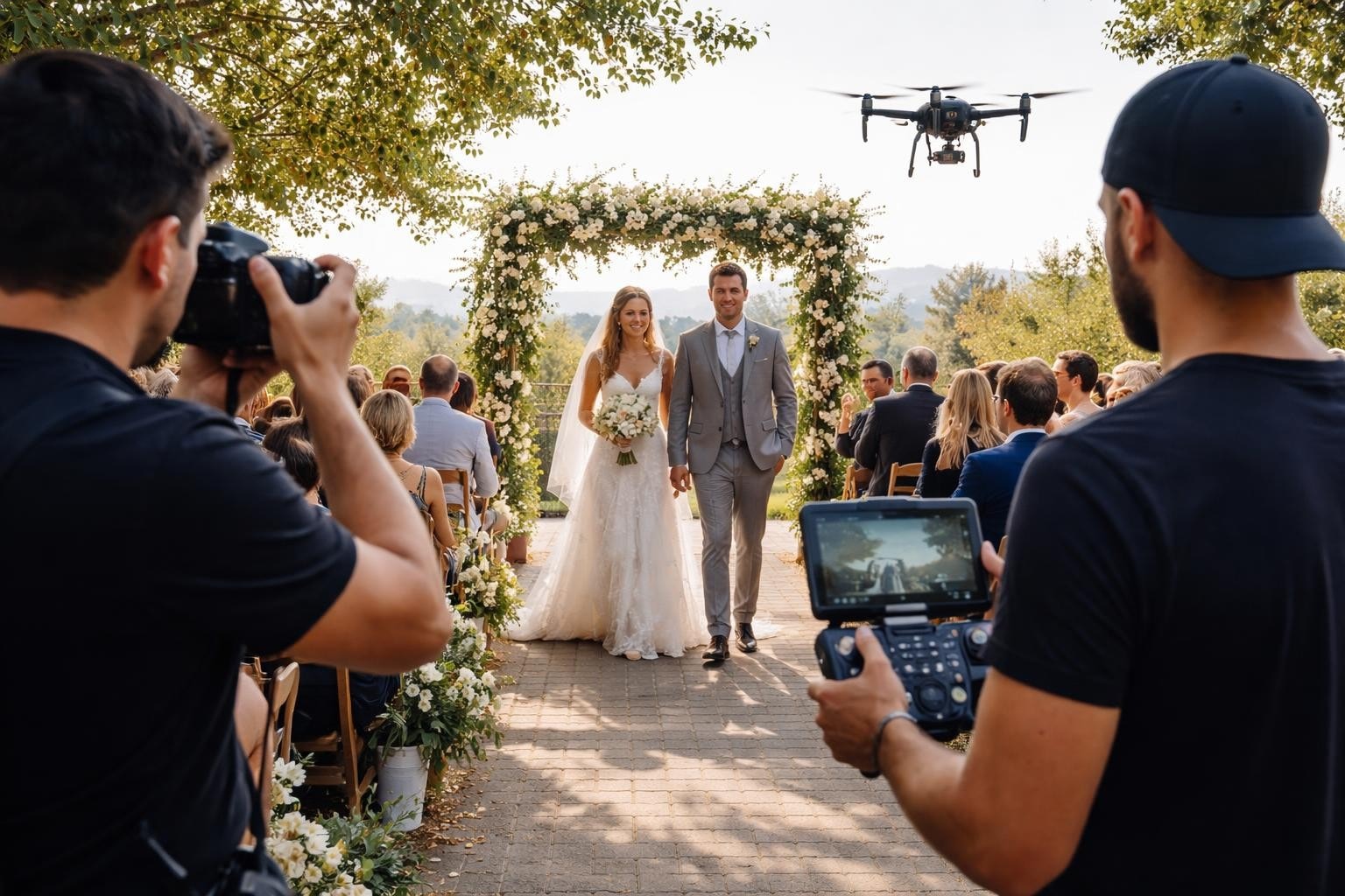
Platform selection begins with the intended use of the finished material. TV and corporate drone work may require cinema-grade recording formats, interchangeable lenses, and close integration with ground-camera footage. Construction progress photography, by contrast, depends more heavily on repeatable flight paths, consistent framing, and georeferenced imagery.
The right service depends on how the finished material will be used. A marketing campaign, investor update, construction record, and broadcast production may all require aerial imagery, but the deliverables and usage rights are not the same.
Project Type | Typical Deliverables | Typical Usage |
Commercial Photography | Edited high-resolution stills, web-ready files, print-ready files, RAW files when agreed | Websites, advertising, print, proposals, social media |
Construction Progress | Repeatable progress stills, 4K video, comparison imagery, orthomosaics when required | Investor updates, owner reports, internal documentation, marketing |
Real Estate | MLS-ready aerial stills, property video, social media edits | Listing promotion, digital advertising, property websites |
Home Builders | Progress photography, model-home imagery, finished-development video | Sales materials, portfolios, websites, community marketing |
Resorts and Hospitality | Property overviews, amenity imagery, lifestyle footage, promotional edits | Websites, advertising, tourism campaigns, social media |
TV and Corporate | Broadcast-ready footage, ProRes or RAW files, production stills | Broadcast, branded content, corporate video, commercial campaigns |
Final licensing and usage terms should be confirmed before production, particularly for paid advertising, broadcast, third-party distribution, and long-term campaign use.
Commercial, TV, and Corporate Production
Full-frame sensors (44mm diagonal) for shallow depth-of-field and low-light performance
ProRes or RAW recording for colorist-friendly post workflows
Interchangeable lenses (16mm, 24mm, 35mm, 50mm equivalent focal lengths)
Repeatable waypoint missions for matching shots across multiple takes
Construction and Progress Documentation
Repeatable flight paths for accurate month-to-month comparisons
High-resolution stills for investor, owner, and project-team updates
Georeferenced imagery when measurement or site coordination is required
Orthomosaics or mapping outputs when included in the project scope
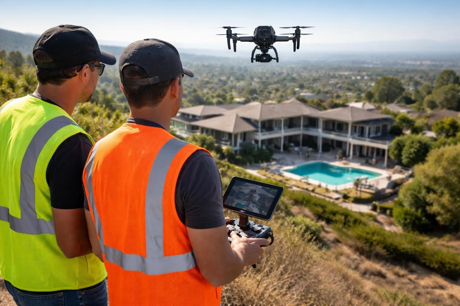
Property, Roof, and Asset Inspections
Zoom capabilities (up to 200x hybrid on some platforms) for standoff distance
Thermal sensors (640×512 resolution minimum) for roof inspections and electrical hotspot detection
Obstacle avoidance systems for close-proximity structure work
Flight time sufficient for full-perimeter coverage without battery swaps
We run DJI Matrice 300 RTK and Inspire 3 platforms because they accept multiple payloads without recalibration delays. On a Henderson, NV solar farm inspection in April 2026, we swapped from the Zenmuse H20T (thermal + zoom) to the P1 (high-res RGB) in under four minutes to capture both hotspot locations and module serial numbers in a single flight window. The client—a utility-scale developer—received the thermal and RGB findings in the same delivery package and was able to dispatch repair crews that afternoon.
Operational Planning: Flight Windows and Airspace Coordination
Strong aerial photography depends on more than the aircraft. Airspace authorization, lighting, site access, production timing, and ground coordination all affect what can be captured and when. We've logged over 1,200 missions since 2014, and 22% required formal air traffic control coordination beyond standard LAANC (Low Altitude Authorization and Notification Capability) approvals.
Pre-Flight Checklist (72-Hour Lead Time)
Confirm airspace class (B, C, D, E, or G) and file authorization requests through LAANC or manual FAA coordination
Review wind forecasts and postpone flights when conditions exceed the platform or project’s safe operating limits
Coordinate with site contacts for active construction equipment, manned aircraft operations (helicopters inspecting power lines), and restricted zones
Stage backup batteries, a secondary aircraft when required, and redundant media storage
Verify insurance certificates are current and match client contract requirements
On a Scottsdale resort renovation project in February 2026, we planned a 7:15 AM flight to capture pool deck installation before guest activity began. The site sat 2.1 nautical miles from Scottsdale Airport (Class D airspace), so we filed through LAANC 48 hours ahead and received approval for 200 feet AGL. Wind at sunrise measured 4 mph—ideal for the slow reveal shot the production company requested. We completed the flight, landed, and cleared the property by 7:52 AM, 23 minutes before the first guest walked poolside.
Site Condition | What It May Require | Why It Matters |
Controlled airport airspace | LAANC authorization or FAA coordination | Approval can affect scheduling and allowable altitude |
Active construction site | Coordination with superintendents, cranes, and equipment operators | Keeps the flight safe and avoids disrupting operations |
Resort or occupied property | Restricted flight windows and controlled takeoff areas | Reduces disruption to guests, residents, and staff |
Urban commercial site | Additional planning for people, traffic, and nearby structures | Protects the site and preserves the planned shot list |
Remote or open site | Weather and access planning | Keeps the crew, equipment, and production schedule on track |
For drone 3D mapping services, we add ground control point surveys to the timeline. A 60-acre site typically requires 8-12 GCPs measured with RTK GPS (real-time kinematic global positioning system) to achieve 2 cm absolute accuracy. We coordinate with the surveyor to place targets 48 hours before the flight, photograph them during the mission, and integrate coordinates during photogrammetry processing. On a Reno industrial park expansion in January 2026, our combined drone + GCP workflow delivered a final orthomosaic and 10 cm contour map in 72 hours-fast enough for the civil engineer to submit grading plans ahead of their permit deadline.
Sensor and Lens Configurations: What Works in the Field
The difference between a professional aerial photography drone and a consumer model shows up in sensor performance under stress. We tested this on a July 2025 Las Vegas Strip production where ambient temperature hit 114°F at ground level. Our Inspire 3 with X9-8K Air sensor maintained stable recording through 18 minutes of continuous operation, while a borrowed consumer drone overheated and triggered auto-shutdown after nine minutes.
Full-Frame Cinema Sensors
Resolution: 8K DCI (8192×4320) or 6K widescreen for future-proof deliverables
Dynamic Range: 14+ stops for highlight/shadow recovery in post
Recording Format: ProRes 422 HQ minimum; RAW for high-end commercial work
Lens Options: 16mm, 24mm, 35mm, 50mm (full-frame equivalent focal lengths)
Best Use: TV commercial and corporate video production where image matches ground camera footage
Specialized Data and Inspection Capture
Some commercial assignments require more than standard photography. Construction, roof, solar, and infrastructure projects may also need georeferenced imagery, thermal capture, orthomosaics, or inspection documentation. Those requirements should be defined before the flight so the correct platform and deliverables can be included in the scope.
According to research on advanced cinematography techniques, coordinating multiple aerial cameras during complex shots requires sub-frame synchronization and shared flight paths. We apply that principle on multi-drone productions: for a Phoenix stadium event in March 2026, we flew two Inspire 3 units simultaneously-one capturing wide establishing shots with a 24mm lens, the other tracking talent with a 50mm lens. Both units followed pre-programmed waypoints offset by 40 meters horizontally, and we synced timecode in post to intercut footage seamlessly.
The best DJI drones for professional work in 2026 share common traits: hot-swappable batteries, weather resistance (IP45 rating or better), and redundant IMU/compass systems. We've operated in 40 mph gusts (at altitude, not sustained surface winds), light rain, and 19°F temperatures without mission failures because the platforms include sensor redundancy and automatic return-to-home triggers when safety margins narrow.
Real-World Performance: Speed, Accuracy, and Repeatability
A professional aerial photography drone proves its value when conditions aren't ideal. On a Flagstaff commercial roof inspection in November 2025, cloud cover reduced daylight by 60%, and wind gusts reached 16 mph. We flew the Matrice 300 RTK with H20T thermal sensor at 6:45 AM-the only window before snow moved in-and captured 112 thermal stills showing three membrane breach zones the client couldn't detect from ground level. The georeferenced thermal data let the roofing contractor pinpoint repairs without re-inspection, saving a second mobilization cost.
Field Note (Mark, Lead Pilot): "We chose the H20T over a standalone thermal camera because the integrated zoom lens let us confirm visual damage after thermal anomalies flagged. On that Flagstaff job, two of the three hotspots turned out to be HVAC exhaust vents, not leaks. The zoom saved the client from unnecessary roof cuts."
Metric | Professional Platform (Matrice 300 RTK) | Consumer Platform (Mavic 3) |
Flight Time (no wind) | 55 minutes | 46 minutes |
Wind Resistance | 15 m/s (33.6 mph) | 12 m/s (26.8 mph) |
Operating Temp Range | -4°F to 122°F | 14°F to 104°F |
Positional Accuracy (RTK) | ±3 cm horizontal | ±1.5 m horizontal (GPS only) |
Max Payload | 2.7 kg (multiple sensors) | Integrated camera only |
Redundant Systems | Dual IMU, dual compass, dual barometer | Single IMU, single compass |
For construction drone photography in Las Vegas, repeatability matters as much as image quality. We flew monthly progress missions for a 28-story residential tower from foundation pour (August 2025) through topping-out (April 2026). Every flight followed the same waypoint path at 220 feet AGL, same time of day (8:30 AM ± 15 minutes), same camera settings (ISO 100, f/5.6, 1/500 shutter). The developer's investor presentations included side-by-side comparison images showing floor-by-floor progress with pixel-level alignment-no manual photo matching required.
The Association for Unmanned Vehicle Systems International reported in 2025 that 73% of commercial construction projects over $10 million now include regular drone documentation, up from 52% in 2023. That growth reflects client demand for defensible progress records: when schedule disputes arise, timestamped and georeferenced imagery provides objective evidence that stands up in mediation.
Advanced Techniques: FPV, Tracking, and Specialized Moves
A professional aerial photography drone expands creative options when you combine platforms. On a Phoenix automotive commercial in February 2026, we used an Inspire 3 for locked-off beauty shots and an FPV drone for a continuous tracking shot through the vehicle interior. The FPV rig-custom-built with a GoPro Hero 12 in 5.3K mode-delivered the dynamic movement the director requested, while the Inspire 3 handled the high-resolution exterior detail shots the client needed for print advertising.
Specialized Flight Modes and Techniques
Waypoint missions: Pre-programmed flight paths for repeatable shots across multiple takes or dates
ActiveTrack (subject following): Automated tracking of moving subjects (vehicles, people, equipment) with predictive algorithms
Cable-cam mode: Straight-line flight between two GPS points for reveal shots
Orbit mode: Circular flight around a subject at constant radius and altitude
Hyperlapse: Time-compressed motion with automated interval capture and in-camera stabilization
The DJI Avata 360 review highlights how 360-degree capture changes post-production workflows. We haven't adopted full-spherical sensors yet because most clients request traditional framing, but for virtual tour applications and immersive experiences, the technology solves the problem of choosing composition in-flight. You capture everything and reframe later.
According to drone racing performance research, pilot experience directly correlates with precision in high-speed maneuvering. We apply that finding to commercial FPV work: our lead FPV pilot logged 340 flight hours on racing circuits before we fielded him on client jobs. That training shows up in smooth, controlled movements through tight spaces-no jerky corrections or overcorrected turns that ruin the shot.
Data Processing and Delivery: From Flight to Final File
A professional aerial photography drone creates value in post-processing as much as capture. For drone surveying and mapping in Nevada, we process imagery through photogrammetry software (Pix4D or Agisoft Metashape) to generate orthomosaics, digital elevation models, and point clouds. A 50-acre industrial site flown in March 2026 produced 892 images that were processed into a 1.8 cm/pixel orthomosaic, a 10 cm contour map, and a volumetric stockpile calculation accurate to ±2.1%.
Standard Deliverables by Application
Film/TV Production: ProRes 422 HQ or RAW files, color-managed to Rec. 709 or client-specified LUT, burned-in timecode
Construction Progress: 4K MP4 edits (2-4 minute runtime), high-resolution stills (JPEG + DNG RAW), georeferenced metadata
Surveying/Mapping: GeoTIFF orthomosaics, DXF contour files, LAS point clouds, volumetric reports with cut/fill calculations
Inspection: Annotated thermal imagery with temperature scales, zoom stills of identified defects, georeferenced anomaly locations
On a Tucson university campus master plan project in January 2026, we delivered files in three stages: preview JPEGs within four hours (for stakeholder review), draft orthomosaic at 5 cm/pixel within 24 hours (for planning meetings), and final orthomosaic + DXF contours + point cloud within 72 hours (for engineering analysis). The phased delivery allowed the design team to start work before final processing was complete, compressing their overall timeline by six days.
The DJI Mavic 4 Pro price reduction makes high-end sensors more accessible, but professional operations require more than capable hardware. We maintain $5 million liability coverage, carry equipment inland marine insurance, and archive project files for seven years. When a client calls eighteen months after delivery requesting additional angles from an archived flight, we pull the original RAW files and process new outputs without re-flying.
Choosing the Right Platform for Your Project
A professional aerial photography drone isn't a single model-it's a toolbox matched to deliverables. For a Phoenix real estate developer shooting luxury home marketing in May 2026, we flew a Mavic 3 Cine (compact, quiet, 4/3 CMOS sensor) because the homeowner association restricted flight times to 60-minute windows and noise complaints were a concern. For a Las Vegas commercial construction site the same week, we flew the Matrice 300 RTK because the client needed sub-5 cm positional accuracy for as-built verification against design drawings.
Platform Selection Criteria
Image Quality Requirements: Sensor size, resolution, and dynamic range must match final output (web, broadcast, cinema, or print)
Positional Accuracy Needs: RTK required for surveying; GPS sufficient for most creative work
Flight Time and Coverage Area: Larger sites demand longer endurance or multiple battery sets
<li>Environmental Conditions: Wind resistance, temperature range, and weather sealing appropriate to location and season
The SUES-200 dataset research demonstrates how cross-view image matching improves when you combine drone and satellite perspectives. We tested that approach on a 180-acre Nevada solar farm inspection in March 2026: satellite imagery identified 14 potential underperforming panel clusters, then our thermal drone flights confirmed eight true anomalies and ruled out six false positives caused by cloud shadows in the satellite pass. The combined approach reduced inspection time by 40% compared to flying the entire array.
When clients ask what professional aerial photography drone we recommend, we start with use case, not brand. A home builder shooting video marketing benefits from compact platforms with obstacle avoidance-speed and discretion matter more than raw sensor specs. A civil engineering firm needs RTK positioning and calibrated cameras, even if that means heavier, slower platforms. We've flown both scenarios in the same week across Phoenix and Las Vegas, and the gear choices looked completely different.
Cost Structure and ROI: What Professional Equipment Delivers
A professional aerial photography drone represents a capital investment, but the return shows up in reduced rework, faster turnaround, and defensible data. On a Henderson mixed-use project in February 2026, our RTK-accurate orthomosaic revealed a 1.2-meter foundation offset that would have cost the developer $47,000 to correct post-construction. The drone mission cost $2,800. That's a 16.8:1 return on a single data point.
According to a 2025 McKinsey & Company study on construction technology adoption, projects using regular drone documentation reported 22% fewer schedule disputes and 18% faster RFI (request for information) resolution compared to projects relying solely on ground-level photography. The data quality matters: georeferenced imagery provides measurable evidence, not subjective interpretation.
Professional Platform Cost Breakdown (2026)
Platform Category | Typical Cost Range | Annual Operating Cost | Typical ROI Timeframe |
Cinema (Inspire 3, X9 sensor) | $18,000 - $28,000 | $3,200 (insurance, maintenance) | 8-14 months (20+ jobs) |
Mapping (Matrice 300 RTK, P1) | $22,000 - $34,000 | $4,100 (insurance, maintenance, RTK subscription) | 10-16 months (15+ jobs) |
Inspection (Matrice 300, H20T) | $24,000 - $36,000 | $4,400 (insurance, maintenance, sensor calibration) | 12-18 months (18+ jobs) |
FPV (Custom build) | $1,200 - $3,500 | $800 (repairs, batteries, cameras) | 3-6 months (12+ jobs) |
We depreciate our professional aerial photography drone fleet over four years, but platforms typically remain revenue-productive for six to seven years with regular maintenance. Our oldest Matrice 300 RTK has logged 680 flight hours since purchase in late 2021 and still performs within factory specifications. The durability comes from redundant systems: when one IMU (inertial measurement unit) shows drift, the flight controller automatically switches to the backup, and we schedule recalibration before the next mission.
For clients evaluating whether to hire a professional drone team or purchase equipment internally, we run a simple calculation: if you'll fly fewer than 24 missions per year, outsourcing typically costs 30-40% less than maintaining platforms, training pilots, managing insurance, and handling airspace coordination. Above that threshold, in-house operations make financial sense if you have staff bandwidth for regulatory compliance and equipment maintenance.
Safety, Insurance, and Regulatory Compliance in Practice
A professional aerial photography drone operation runs on risk mitigation, not just camera specs. We carry $5 million aggregate liability coverage through an aviation-specific underwriter, maintain detailed flight logs for every mission (required for FAA audits), and brief every crew member on emergency procedures before launch. On a Scottsdale resort shoot in April 2026, a guest wandered into our landing zone 30 seconds before touchdown. We executed a go-around, circled for 90 seconds while security cleared the area, and landed safely with 18% battery remaining-well above our 15% minimum reserve.
Pre-Flight Safety Briefing (Standard Protocol)
Review emergency procedures: lost link, low battery, obstacle detection alert, uncommanded descent
Establish communication protocols between pilot-in-command, visual observer, and ground crew
Identify emergency landing zones and verify they remain clear throughout operation
Confirm all personnel understand the flight boundary and restricted areas
Review weather abort criteria (wind speed, precipitation, visibility minimums)
The DJI Phantom 3 forensic investigation research shows how flight logs preserve evidence after incidents. We archive logs for seven years and reference them during client debriefs, especially on complex airspace coordination missions. When a Phoenix tower project manager questioned whether we flew within the approved 200-foot altitude ceiling, we pulled the telemetry log showing the maximum altitude reached was 197 feet AGL. The data settled the question in under five minutes.
We operate under FAA Part 107 commercial drone regulations, which require pilots to pass an aeronautical knowledge exam, undergo TSA vetting, and renew certification every 24 months. Our team includes three Part 107 pilots with combined experience exceeding 3,400 flight hours. That depth matters when ATC coordination gets complex: on a March 2026 Las Vegas Strip shoot, we worked with McCarran tower (now Harry Reid International) to coordinate a 400-foot altitude waiver around helicopter tour routes. The tower controller approved our flight plan because we submitted FAA-standard diagrams showing lateral separation and altitude deconfliction.
Insurance underwriters evaluate drone operations on six factors: pilot experience, equipment redundancy, maintenance records, safety protocols, mission complexity, and claims history. Our zero-incident record since 2014 qualifies us for preferred rates, but we still pay $6,200 annually for $5 million coverage-a necessary cost for operating near structures, people, and high-value property.
Future-Proofing: Where Professional Aerial Photography Is Headed
A professional aerial photography drone in 2026 incorporates technologies that didn't exist five years ago: RTK positioning, AI-assisted tracking, redundant sensor systems, and hot-swappable payloads. The next wave of advancement focuses on autonomy, sensor fusion, and beyond-visual-line-of-sight (BVLOS) operations.
We're testing automated inspection workflows for a Nevada utility client: the drone follows pre-programmed waypoints, captures thermal and RGB imagery of transmission towers, flags anomalies using onboard AI, and uploads data via cellular link-all without pilot intervention beyond takeoff and landing. Early results from a March 2026 trial showed 92% concordance between AI-flagged issues and human inspector findings, with mission time reduced by 60%.
Emerging Technologies (2026-2028 Outlook)
BVLOS Operations: FAA Part 108 regulations (expected late 2026) will expand beyond-visual-line-of-sight permissions for approved operators, enabling single-pilot coverage of linear infrastructure (pipelines, transmission lines, rail)
Detect-and-Avoid Systems: Radar, lidar, and acoustic sensors for autonomous collision avoidance in complex airspace
Swarm Coordination: Multi-drone missions with synchronized flight paths and shared data collection (already in limited commercial use)
Onboard AI Processing: Real-time defect detection and classification during flight, reducing post-processing time
Hybrid Power Systems: Tethered drones and fuel-cell range extenders for missions exceeding battery-powered endurance
The 11th DJI and SkyPixel contest winner demonstrates that even mid-tier professional platforms can produce exceptional imagery when operators understand composition, lighting, and timing. We emphasize that principle with clients: gear enables results, but pilot skill and mission planning determine whether you capture the shot or miss it.
For Arizona and Nevada operations, heat management will drive next-generation platform design. We've measured surface temperatures exceeding 160°F on Phoenix asphalt in July, and battery performance degrades 12-15% at those extremes. Manufacturers are developing active cooling systems and higher-temperature battery chemistry to extend safe operating envelopes.
What Clients Usually Want to Know
What makes a drone suitable for professional aerial photography?
Professional aerial photography platforms provide the image quality, flight stability, lens options, recording formats, and operational reliability required for commercial work. The right system depends on whether the final material is intended for websites, print, broadcast, construction documentation, or another professional use.
What airspace authorizations may be required in Phoenix and Las Vegas?
Requirements depend on the exact location and airspace. Some sites can be approved through LAANC, while others require additional FAA coordination or more lead time. EAP handles airspace planning and authorization as part of the project workflow.
How quickly are commercial aerial photography files delivered?
Delivery depends on the scope and file requirements. Edited stills and preview footage may be delivered before a complete commercial edit, while broadcast, RAW, mapping, or multi-format packages require additional post-production and quality control. The schedule should be confirmed before the flight.
What weather conditions may delay an aerial photography project?
High winds, rain, low visibility, and unsafe temperatures may require a flight to be rescheduled. Lighting also matters for commercial photography, even when conditions are technically safe to fly. EAP monitors weather in advance and coordinates alternate timing when needed.
Professional aerial photography works best when the platform, crew, shot plan, deliverables, and usage requirements are defined before takeoff. Whether the project calls for polished commercial stills, construction progress imagery, real estate marketing, resort coverage, or broadcast-ready footage, the goal is the same: capture the right material and deliver it in a form the client can actually use.
Request commercial aerial photography from Extreme Aerial Productions, and we’ll help you define the coverage, deliverables, production schedule, and usage needs for your project.
Comments