


Top Drone Companies for Film, Construction & Data 2026 | EAP
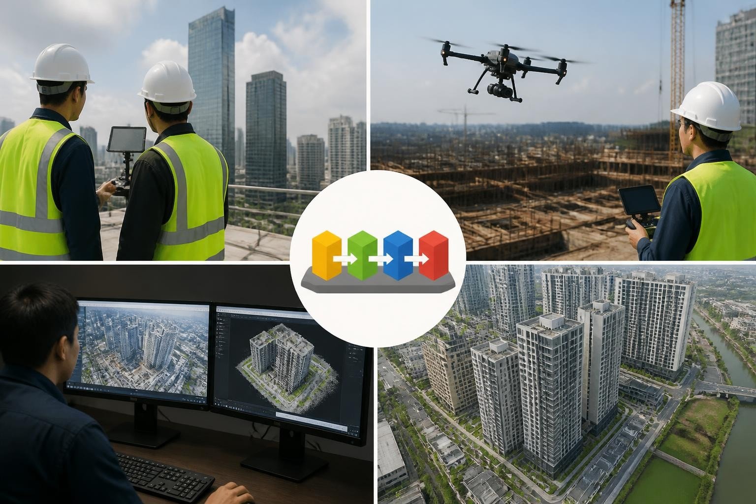
In March 2026, a Phoenix engineering firm asked us to deliver a 2-acre construction site orthomosaic with 1-centimeter GSD within 48 hours for a TIF deadline. We flew a Matrice 350 RTK with a P1 sensor on March 14, processed 842 images overnight, and delivered the georeferenced mosaic by noon on March 15. The client hit their submission window, and we confirmed why platform choice matters: not every drone company owns the sensor suite or processing pipeline to turn tight turnarounds into dependable results. Choosing the right partner means understanding which top drone companies align with your project constraints, deliverable specs, and regional airspace realities. This guide walks you through the manufacturers, service providers, and platform ecosystems that shape outcomes across film production, construction documentation, and surveying workflows in Arizona and Nevada.
Platform Manufacturers Leading the Commercial Market
When production coordinators, project managers, and surveyors evaluate top drone companies, they often start with the hardware. The global commercial drone market reached $30.6 billion in 2025, according to Drone Industry Insights' Global State of Drones report, with DJI Enterprise, Autel Robotics, and Skydio capturing the majority of professional-grade sales. These three manufacturers dominate because they deliver modular payloads, repeatable flight control, and support networks that matter when a crew waits on set or a surveyor needs a re-flight before weather closes in.
DJI Enterprise: Matrice and Mavic Series
DJI Enterprise holds approximately 74% of the global commercial drone market share in 2026, per Berg Insight's commercial UAS market briefing. We fly the Matrice 350 RTK for mapping and the Matrice 30T for thermal inspections across Arizona and Nevada because the interchangeable payloads-Zenmuse P1, L1 LiDAR, H20T thermal-let us configure the rig to match the deliverable without swapping aircraft. When a Las Vegas commercial developer needed both RGB orthomosaics and thermal envelope scans of a 12-story building in April 2026, we mounted the P1 for the first flight and the H20T for the second, delivering both datasets within a single mobilization. The RTK module locks positional accuracy to 1.5 cm horizontal without ground control, cutting setup time and post-processing cycles. For construction drone projects with weekly progress flights, that repeatability translates to consistent overlays and faster stakeholder review.
The Mavic 3 Enterprise serves scout missions and real estate drone photography where portability and quick deployment matter more than heavy payloads. Its 20 MP sensor and mechanical shutter handle midday sun without rolling shutter artifacts, so we capture clean stills for listings and pre-construction site documentation. In May 2026, we scouted a Scottsdale residential development site with the Mavic 3E, delivered 47 geotagged stills within two hours of landing, and the architect had markup overlays in their next team call.
Autel Robotics: EVO Series and Enterprise Tools
Autel's EVO Max 4T combines RGB, wide-angle, thermal, and laser rangefinder sensors in a single airframe, appealing to public-safety and infrastructure teams that need multi-spectral data without payload swaps. We see Autel platforms on thermal drone inspection jobs where clients want bundled imagery and the EVO ecosystem integrates with Autel's SkyCommand software for repeatable mission planning. The U.S. Defense Innovation Unit included Autel on the Blue sUAS Framework in 2024, opening federal and state contracts that prefer non-Chinese supply chains. For commercial clients in Arizona and Nevada who bid on government infrastructure work, Autel's compliance status reduces procurement friction and accelerates bid approvals.
Skydio: Autonomous Flight and BVLOS Capability
Skydio's X10 and Dock system target autonomous inspection and beyond-visual-line-of-sight (BVLOS) operations. The X10's 360-degree obstacle avoidance and AI-driven path planning suit confined industrial sites-power substations, mining pits, solar arrays-where manual flight introduces collision risk. According to NASA's drone delivery overview, BVLOS waivers grew 38% in 2025 as operators demonstrated reliable detect-and-avoid systems. Skydio leads this segment by integrating six 4K navigation cameras and real-time compute for autonomous missions. We use Skydio for drone solar plant PV inspections where row spacing is tight and manual flight increases cycle time. In June 2026, a Nevada solar operator needed thermal scans of 14,000 panels across 40 acres; the Skydio X10 with thermal payload completed the mission in four automated flights, flagging 37 hot cells for immediate maintenance.
Service Providers: Regional Specialists and National Networks
Platform choice matters, but execution determines whether you get usable data. Top drone companies in the service category combine certified pilots, tailored workflows, and proven post-processing pipelines. The FAA's UAS forecast projects 441,000 commercial drones operating in the U.S. by 2027, up from 392,000 in 2025. That growth reflects both new operators entering the market and established teams expanding regional coverage.
What Separates Dependable Operators from Low-Bid Hobbyists
Insurance, airspace coordination, and backup equipment define the gap. In July 2026, a Tucson production needed aerial B-roll of a downtown plaza within Class D airspace. We filed the LAANC authorization 72 hours ahead, confirmed altitude ceilings with Tucson tower, and staged a backup Inspire 3 in case of sensor failure. The first rig captured the sequence; the backup stayed in the case. The producer's previous vendor had arrived without airspace clearance and spent 90 minutes on hold with ATC while crew costs compounded. We deliver cinematic aerials because we plan the boring parts-permits, releases, equipment redundancy-so key days stay on schedule.
Feature | Professional Operator | Hobbyist/Low-Bid Provider |
FAA Part 107 | Current, crew-wide | Sometimes individual only |
Insurance | $2M+ general liability + hull | Often $1M or unverified |
Backup Equipment | Redundant airframes + payloads | Single rig, no spares |
Airspace Clearance | Pre-filed LAANC, tower coordination | Day-of phone calls, delays |
Post-Processing | Licensed software, QA/QC workflow | Consumer apps, minimal validation |
Regional Specialists: Phoenix, Las Vegas, and Southwest Coverage
National networks offer broad footprint but often sub-contract to local pilots with variable skill. Regional specialists like Extreme Aerial Productions maintain consistent crews, equipment inventories, and airspace familiarity across their base markets. We operate primary hubs in Phoenix and Las Vegas, covering Arizona and Nevada with direct mobilization and no middleman markups. When a Henderson surveyor needed a 15-acre drone surveying and mapping flight with RTK control on 24-hour notice in August 2026, we deployed from our Las Vegas base, flew the site at 8 a.m., and delivered the point cloud by 4 p.m. the same day. A national broker would have added coordination lag and subcontractor risk.
Field Note (Mark, EAP Lead Pilot): We keep three Matrice 350 RTK rigs and two Inspire 3 platforms in rotation across Phoenix and Vegas so equipment failure never delays a shoot. In September 2026, a feature-film scout in Sedona required two simultaneous angles-hero wide and tracking FPV. We flew both at once because we own both platforms and had both pilots on payroll. That's the advantage of a small, well-equipped team over a dispatch model.
Vertical-Specific Leaders: Agriculture, Inspection, and Delivery
Certain top drone companies dominate niche verticals by tailoring hardware, software, and service bundles to specific use cases. Understanding these specialists helps you identify partners when your project crosses into agriculture, industrial inspection, or logistics.
Agriculture: PrecisionHawk, DroneDeploy, and Sensor Integration
The U.S. agriculture drone market grew to $1.2 billion in 2025, according to Grand View Research, driven by crop-health monitoring, variable-rate application mapping, and irrigation analysis. PrecisionHawk integrates multispectral and hyperspectral sensors with agronomic analytics, delivering NDVI, NDRE, and moisture indices that feed directly into farm-management software. DroneDeploy provides cloud-based processing and field-mapping tools used by over 6,000 ag operators globally. We occasionally support drone 3D mapping for vineyard topography and drainage planning, but our core focus remains construction, surveying, and media production where Arizona and Nevada demand concentrates.
Industrial Inspection: Flyability, Inspired Flight, and Confined-Space Platforms
Confined-space inspection-power-plant boilers, bridge underbellies, mine shafts-requires collision-tolerant airframes and low-light imaging. Flyability's Elios 3 uses a protective cage and LiDAR SLAM for GPS-denied navigation, capturing 4K video and thermal imagery inside structures where traditional drones cannot operate. Inspired Flight's IF1200A serves heavy-lift industrial payloads, carrying gas detectors and high-zoom cameras for oil-and-gas inspections. We deploy these platforms on request for specialized drone roof inspections and industrial-facility audits, but 80% of our workflow relies on Matrice and Inspire platforms that handle the breadth of Arizona and Nevada commercial projects.
Delivery and Logistics: Zipline, Wing, and Last-Mile Networks
Zipline operates autonomous fixed-wing drones delivering medical supplies across Rwanda, Ghana, and U.S. pilot programs. Wing (Alphabet) runs suburban package-delivery trials in Texas and Australia. Both companies lead the regulatory frontier for beyond-visual-line-of-sight commercial operations, though widespread adoption remains constrained by airspace integration and economic scale. The Georgetown CSET analysis notes that delivery drones represent less than 3% of U.S. commercial flight hours in 2026, concentrated in controlled test zones rather than open commerce. For film, construction, and surveying clients, delivery drones remain a niche curiosity rather than a procurement decision.
Choosing the Right Partner for Your Project
Top drone companies span manufacturers, service providers, and vertical specialists. Your selection process should match platform capability, regional coverage, and deliverable requirements to your project's constraints.
Match Platform to Deliverable
Cinematic aerials and FPV: Inspire 3 with full-frame sensors or custom FPV rigs for dynamic tracking shots. We choose the Inspire 3 for high-quality drone work on TV commercials and feature films because the Zenmuse X9 delivers ProRes RAW at 8K, matching Alexa and RED workflows without transcoding.
Orthomosaics and contours: Matrice 350 RTK with P1 sensor for sub-2 cm GSD and direct georeferencing. We processed 1,847 images for a Flagstaff subdivision in October 2026, delivering 0.8 cm/pixel orthomosaics and 10 cm contours within 36 hours.
Thermal inspections: Matrice 30T or Autel EVO Max 4T for radiometric TIFF export and temperature-range customization. A Reno commercial property manager used our thermal dataset to identify five HVAC leaks before winter, saving $18,000 in emergency repairs.
LiDAR and point clouds: Matrice 350 with L1 LiDAR for vegetation-penetration forestry or stockpile volumes. We captured a 22-acre gravel quarry in Kingman, Arizona, in November 2026, generating a 1.2 billion-point cloud and volumetric report within 48 hours.
FPV and dynamic motion: Custom-built 5-inch or 7-inch FPV quads with GoPro or RED Komodo Mini for tracking shots, proximity passes, and creative camera moves that stabilized gimbals cannot achieve.
Evaluate Regional Coverage and Response Time
National operators promise coast-to-coast coverage but often route requests through regional subcontractors, adding 24-72 hours to mobilization. Regional specialists maintain local equipment inventories and direct crew dispatch. In December 2026, a Paradise Valley architectural firm needed drone videos for home builders on 12-hour notice for a client meeting. We staged the shoot at 7 a.m., delivered edited clips by 5 p.m., and the builder closed the contract. That turnaround requires Phoenix-based pilots, not a call center routing to the nearest available contractor.
Verify Processing Capability and QA Workflow
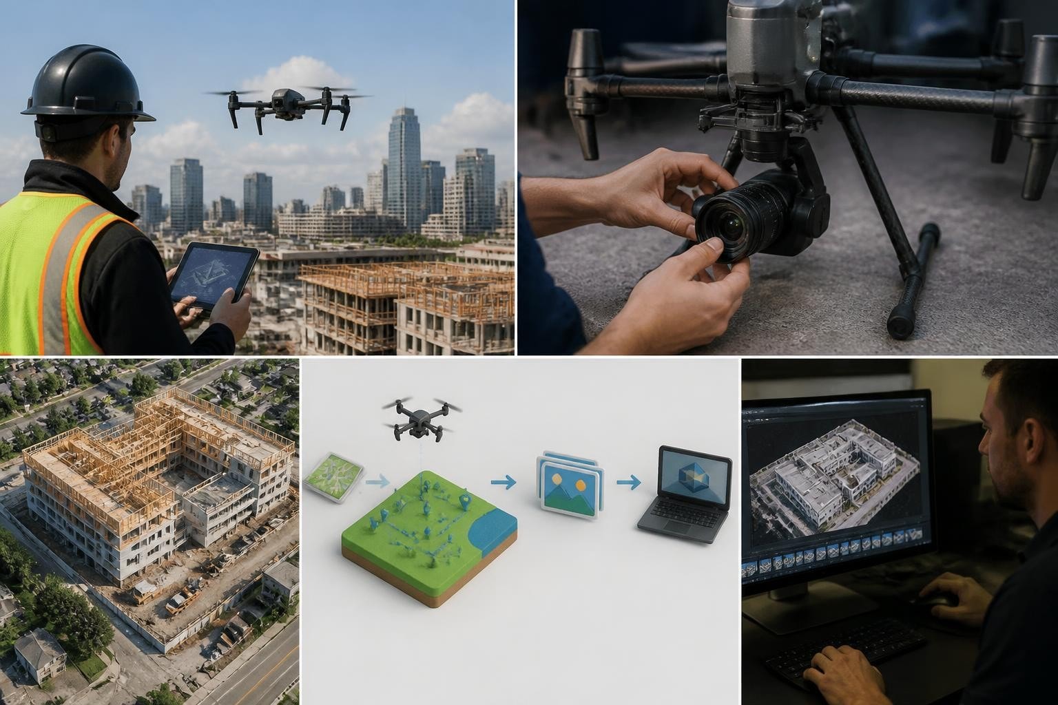
Capturing imagery is half the job. Top drone companies run structured processing pipelines with quality control, coordinate-system validation, and archival deliverables. We use Pix4Dmapper, DroneDeploy, and RealityCapture depending on project specs, then validate every orthomosaic against RTK checkpoints and deliver GeoTIFF, LAS, and DXF formats that import cleanly into AutoCAD, Civil 3D, and ArcGIS. A Scottsdale surveyor told us in January 2026 that our drone surveying and mapping datasets "drop into Civil 3D without offset errors," because we embed proper EPSG codes and run QA before export. Ask your vendor how they validate coordinate systems, what software they license, and whether they archive raw imagery for future re-processing.
Cost, Turnaround, and Value Benchmarks
Pricing for drone services varies by deliverable complexity, site access, and turnaround requirements. Understanding industry benchmarks helps you budget accurately and spot underqualified low-bid providers.
Typical Project Costs Across Deliverables
Cinematic aerials (single location, 2-hour shoot): $1,500–$3,500 depending on crew size, equipment package, and edit requirements.
Orthomosaic and topographic survey (10-acre site, RTK, 1 cm GSD): $2,200–$4,800 including flight, processing, and CAD-ready contours.
Thermal inspection (commercial building, envelope and roof): $1,800–$3,200 for radiometric imagery and annotated report.
FPV cinematic sequence (30-60 seconds, interior/exterior tracking): $2,500–$5,000 for custom rig, pilot, and safety observer.
LiDAR point cloud (50-acre site, vegetation classification): $4,500–$9,000 depending on point density and classification deliverables.
Providers quoting significantly below these ranges often lack insurance, skip QA steps, or use consumer-grade equipment that produces unusable data. In February 2026, a Phoenix contractor hired a $600 "drone guy" for a 5-acre grading site. The orthomosaic had 12 cm positional error, the contours didn't close, and the contractor paid us $3,200 to re-fly and deliver accurate data before the engineer's deadline.
Turnaround Expectations by Deliverable Type
Deliverable | Standard Turnaround | Rush Turnaround | Notes |
Cinematic stills/video | 3–5 business days | 24–48 hours | Edited clips, color-graded, delivery codec |
Orthomosaic (under 20 acres) | 2–4 business days | 24–36 hours | Requires clear flight weather window |
Topographic survey with contours | 3–5 business days | 48–72 hours | Includes RTK validation, CAD export |
Thermal inspection report | 2–3 business days | 24 hours | Annotated imagery, temperature tables |
LiDAR point cloud | 4–7 business days | 72 hours | Classified LAS, intensity rasters |
We quote turnaround at project start and flag dependencies-weather, airspace approvals, client data handoff-so expectations stay realistic. A Mesa civil engineer requested LiDAR for a 30-acre retention basin in March 2026 with a three-day deadline. We flew on day one, processed overnight, and delivered the classified point cloud and 6-inch contours on day three. That reliability matters when permit windows or funding deadlines compress schedules.
Technology Trends Shaping the Next 24 Months
Top drone companies invest in autonomy, sensor fusion, and airspace integration to expand capability and reduce operational cost. Three trends directly affect project outcomes in 2026 and 2027.
RTK and PPK Becoming Standard for Mapping
Real-time kinematic and post-processed kinematic positioning eliminate or reduce ground control points, cutting survey setup time by 50-70%. We fly RTK on every mapping mission because the 1.5 cm horizontal accuracy meets ASPRS Positional Accuracy Standards for 1:200 mapping without surveyed targets. In April 2026, a Prescott subdivision required ALTA-compliant topography for a boundary survey. We flew RTK, placed six photo-identifiable checkpoints for validation, and delivered 1-foot contours that passed the surveyor's independent QC. Five years ago, that same project would have required 20+ ground targets and two days of setup.
Thermal and Multispectral Integration on Single Platforms
Matrice 30T and Autel EVO Max 4T bundle RGB, thermal, and zoom cameras in one airframe, reducing flight time and simplifying data correlation. We use the M30T for thermal drone work on solar arrays and commercial buildings because the 640x512 radiometric sensor captures temperature ranges from -20°C to 500°C, covering HVAC diagnostics and electrical hotspots without payload swaps. In May 2026, a Chandler warehouse operator needed both thermal anomaly mapping and RGB damage documentation after a monsoon. We flew one mission, delivered both datasets, and the insurance adjuster had complete coverage within 36 hours.
Automated Processing and AI-Assisted Analysis
Cloud platforms like DroneDeploy, Pix4Dcloud, and Propeller integrate AI-driven feature extraction-stockpile volumes, crack detection, vegetation classification-reducing manual post-processing. We still validate AI outputs against ground truth, but automated workflows cut review cycles from hours to minutes. A Phoenix aggregate supplier uses our monthly drone 3D mapping to track inventory across four pits. We upload the orthomosaics to DroneDeploy, the platform auto-calculates volumes, and the operations manager has updated tonnage reports within 24 hours of each flight.
Regulatory and Safety Considerations
Choosing among top drone companies means verifying compliance, insurance, and safety protocols. The FAA's UAS forecast projects that commercial operations will exceed 1.2 million flight hours annually by 2027, increasing the importance of standardized safety management and airspace coordination.
FAA Part 107 and Beyond: Waivers and Advanced Operations
Part 107 authorizes daytime operations below 400 feet AGL within visual line of sight. Projects requiring night flight, operations over people, or BVLOS need waivers. We hold night and over-people waivers, enabling sunset aerials for real estate drone photography and evening progress documentation for construction sites. In June 2026, a Summerlin development needed twilight aerials for marketing materials. Our waiver let us capture the golden-hour sequence legally while competitors either declined the job or flew without authorization.
Insurance and Liability: What Coverage Actually Protects
Minimum viable coverage includes $2 million general liability and hull insurance covering equipment replacement. We carry $5 million aggregate because production companies, general contractors, and public agencies often require named-insured certificates at those limits. In July 2026, a Phoenix studio needed us added as additional insured for a commercial shoot; our broker issued the certificate within two hours. Operators without proper coverage either cannot meet contract requirements or expose clients to uninsured risk.
Airspace Coordination: LAANC, Towers, and Restricted Zones
Controlled airspace (Class B, C, D) requires authorization. The Low Altitude Authorization and Notification Capability (LAANC) automates approvals for grid-based airspace, but tower coordination and manual approvals still apply near airports and military installations. We file LAANC requests 48-72 hours ahead and coordinate directly with ATC when operating near Phoenix Sky Harbor, Las Vegas McCarran, or Nellis Air Force Base. In August 2026, a commercial shoot at a North Las Vegas industrial site required manual approval because the location sat under a helicopter training route. We coordinated with the tower, received altitude and time-window restrictions, and completed the shoot without incident. Operators who skip this step risk enforcement action and jeopardize future authorizations.
The right drone partner combines platform capability, regional responsiveness, processing expertise, and proven safety protocols. Whether you need cinematic aerials for a feature film, RTK orthomosaics for a civil-engineering project, or thermal diagnostics for a commercial building, choosing among top drone companies means matching deliverable requirements to operator strengths and verifying the boring details-insurance, airspace clearance, equipment redundancy-that keep projects on schedule. Since 2014, we've delivered dependable aerial data and hero shots across Arizona and Nevada because we plan the logistics, own the right gear, and execute without drama. Ready to lock your next mission? Request a fast quote or book a 15-minute call with Extreme Aerial Productions and we'll match the platform, sensor, and workflow to your deadline and deliverable specs.

Comments