


Drone Photography: Tips for Better Aerial Photos
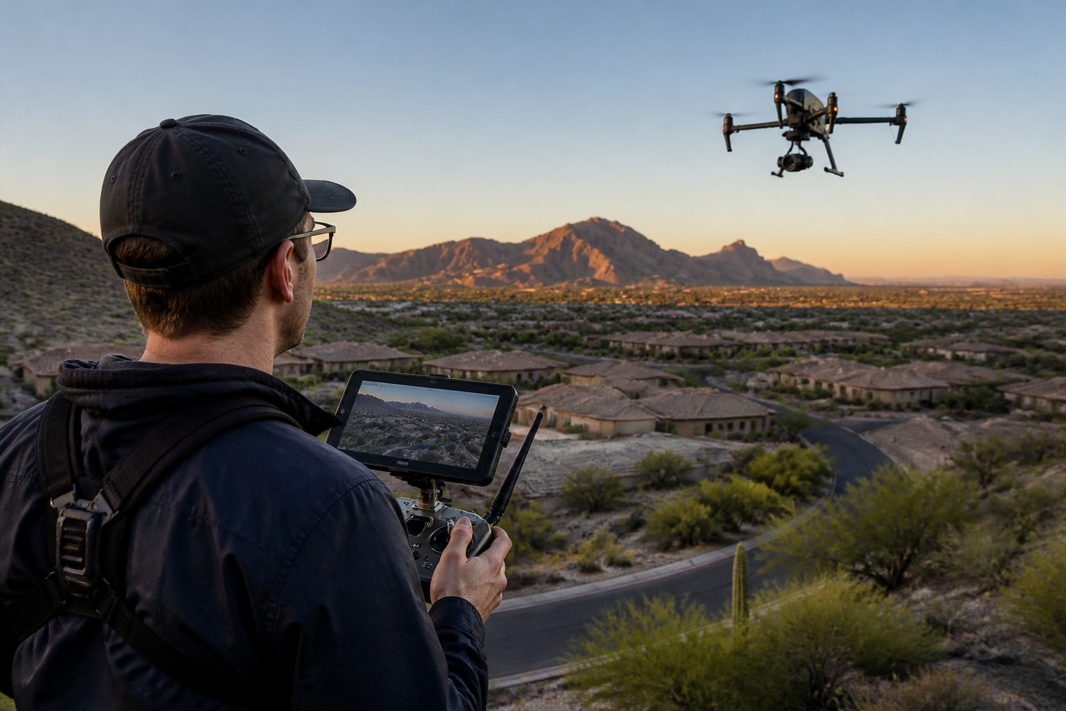
Better drone photos start with a planned flight, useful light, the right angle, and clean exposure. An aerial image should show buyers something they can’t see from ground level, such as how the house, yard and nearby landmarks fit together.
A Sample Shot Plan for a Residential Listing
Pick the three features buyers need to see. For example: the backyard, the pool and how the home sits on the lot.
Choose a lower angle for the façade, a mid-height view for the layout and a wide view only if the surroundings add context.
Agree on deliverables and timing before the shoot. Check airspace, obstacles and weather before choosing the flight window.
What Aerial Photos Show That Ground Shots Don’t
An aerial photo works when it answers a question the buyer cannot answer from the street: how big is the lot, what is next door, and how does the home sit in its surroundings.
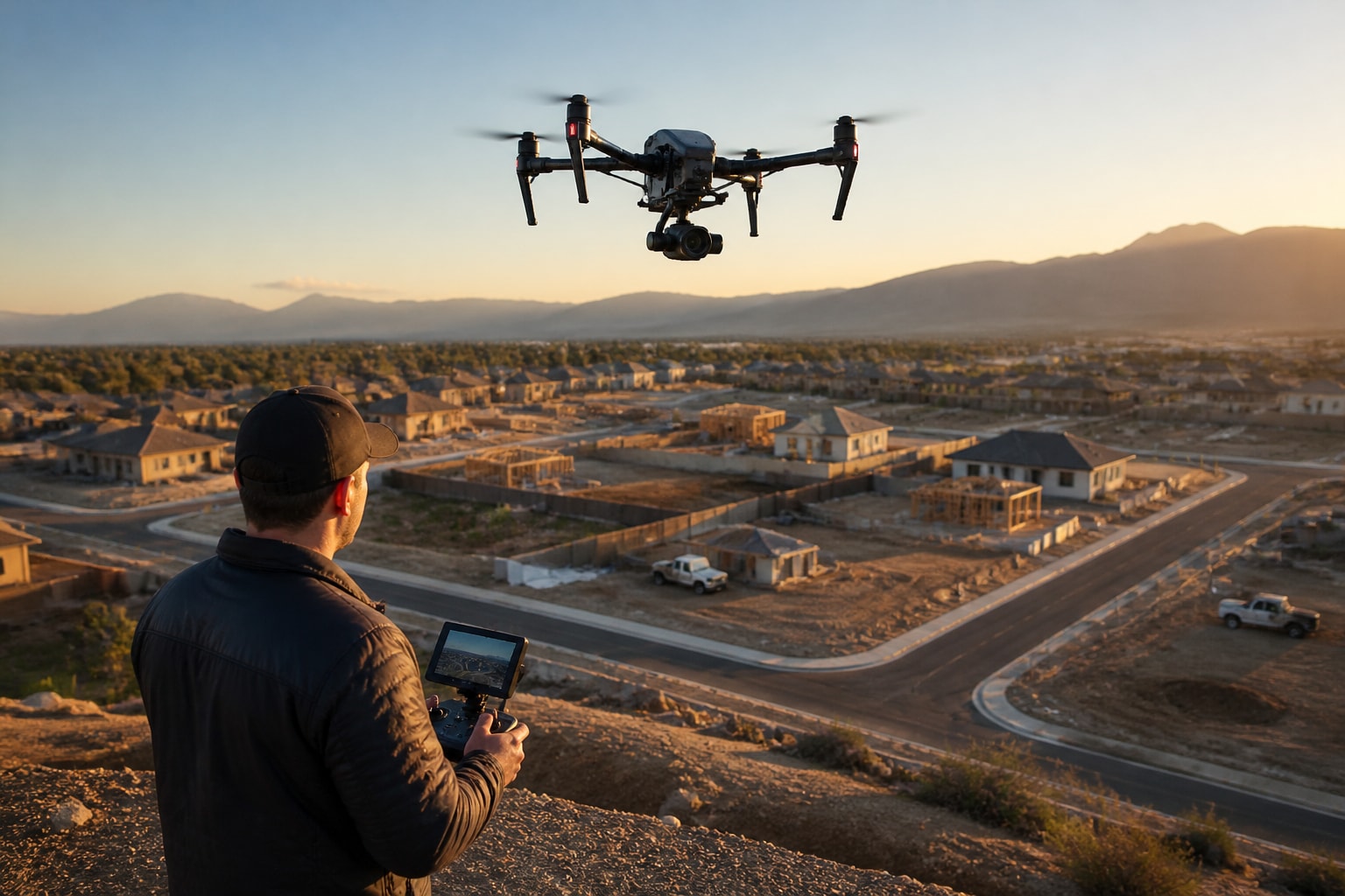
Ground photos show finishes and rooms. Aerials show context. For a home builder, that context is the whole sale: lot position in a master planned community, distance to a park, and the shape of the cul-de-sac. For an agent, it is the pool, the view fence, the backyard, and the mountain behind the roofline.
That is why we plan the shot list around the property's selling points before we launch. If the listing's strongest feature is a large lot, we shoot wide. If it is a view, we shoot toward the view. A flight with no plan produces a lot of pretty frames that do not sell anything.
Plan the Flight Before You Launch
A good flight starts at the desk. We confirm airspace, walk the shot list, check the weather, and decide the order of shots so we do not lose the light.
Here is the short version of how we prepare a residential job:
Check the address against airspace maps and request authorization if the property sits in controlled airspace.
Review satellite imagery to spot power lines, trees, and neighbors who may be sensitive to a drone overhead.
Build a shot list with the three or four features that matter most to buyers.
Pick a launch window based on sun angle, not convenience.
Pack backup batteries, spare props, and a second camera body or memory cards.
Controlled airspace matters in Arizona and Nevada because both states have busy airports. The Federal Aviation Administration notes that flying in controlled airspace around an airport requires FAA authorization, and that some restricted areas and temporary flight restrictions also prohibit drone flights. We handle that clearance before we arrive, which keeps the shoot on schedule.
How High Should You Fly for Aerial Photos?
For most residential work, fly lower than you think: roughly 50 to 150 feet gives the clearest view of a home and its lot without flattening it into a map.
It is tempting to climb toward the legal ceiling. The FAA says recreational flyers must stay below 400 feet, and commercial pilots operate under the same general ceiling in most airspace. But a home shot from 350 feet looks like a dot in a field. A National Geographic photographer recommends trying a lower viewpoint, around 50 feet, for straight-down bird's-eye images rather than always flying near the 400-foot ceiling.
We use three heights on most listings:
Low and angled (20 to 50 feet): Shows the front elevation, landscaping, and curb appeal at a level close to what a buyer would feel standing at the street.
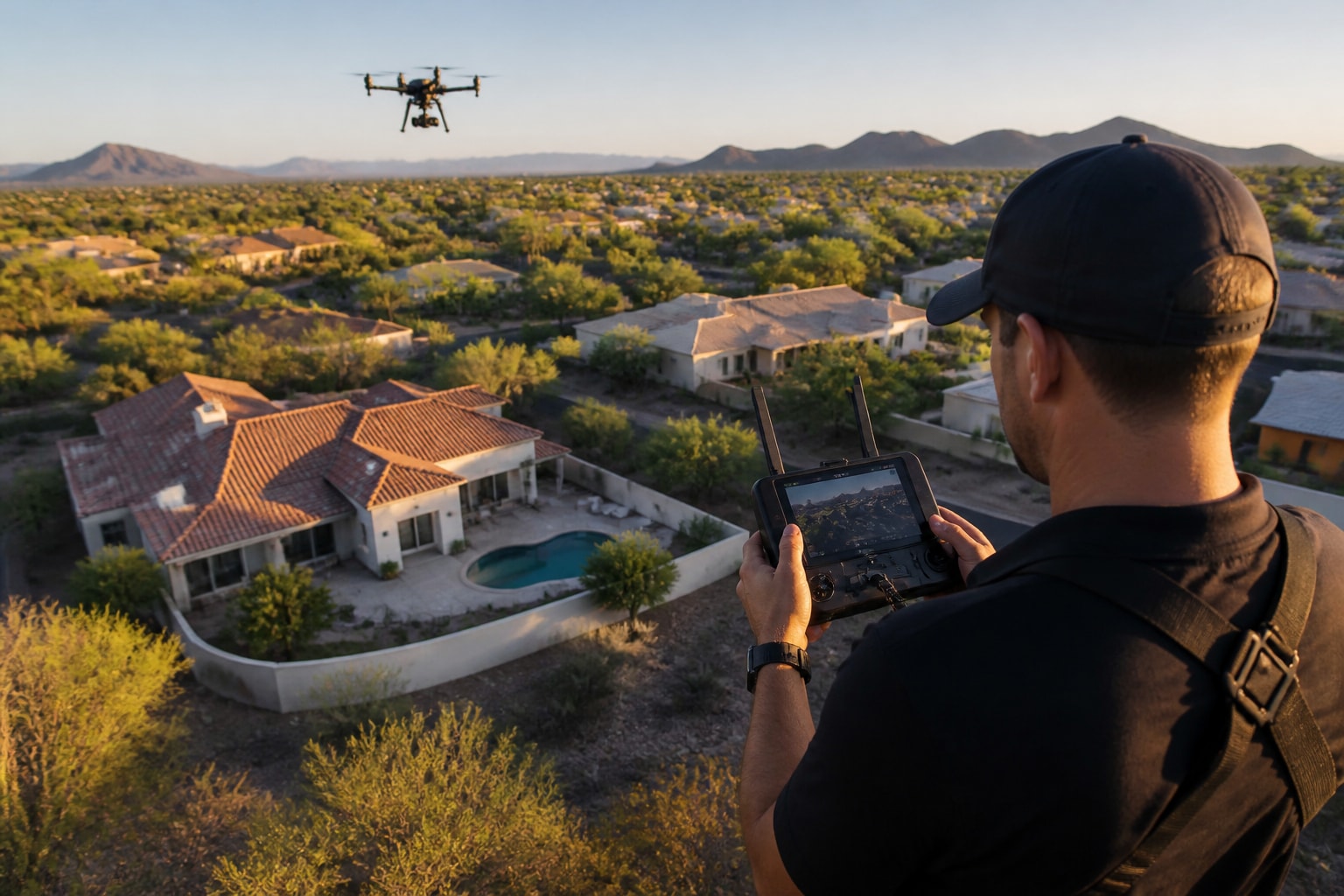
Mid-height (80 to 150 feet): Shows the full lot, the pool, and immediate neighbors.
High and wide (200 feet and up, within limits): Shows the home in relation to the neighborhood, golf course, or mountains.
Shoot all three. You will use the mid-height frame as the hero and the high shot to explain location.
Use Light the Way Photographers Do
Try photographing around sunrise or sunset, when low-angle light can bring out texture on roofs, walls and landscaping.
Midday sun in Phoenix is harsh. Roofs turn into flat tan blocks, pools glare, and shadows disappear. National Geographic notes that golden hour around sunrise and sunset can provide more favorable shadows, and that twilight and longer exposures can capture the transition into blue hour. For a listing, we often shoot the exterior in golden hour and, when the home has good landscape lighting, a few frames at dusk.
Direction matters as much as time. Shoot toward the side of the home that faces the sun if you want warm, even light on the facade. Shoot away from the sun if you want to show a pool or a view without glare. We decide this during the pre-flight review so we know which direction to fly first.
Light Problems We See Most in Desert Markets
Pool glare, dark roof tile against bright sky, and white stucco that clips to pure white are the usual troubles. A polarizing filter helps with water, and a lower sun helps with the rest. If you must shoot at midday, plan for exposure bracketing, covered in the next section.
Camera Settings That Protect Image Quality
Shoot in RAW when you can, keep ISO low, and use exposure bracketing for scenes with bright sky and dark ground.
Auto-Exposure Bracketing captures three or more images at different exposures, which helps you choose the best one or combine them in high-contrast scenes, according to National Geographic. In Arizona, where a white stucco wall and a deep shadow can sit in the same frame, that matters.
Our baseline approach, which you can adapt:
Set the camera to manual or aperture priority so exposure does not shift between frames.
Lock white balance so a series of shots matches in color.
Keep ISO as low as the light allows to avoid noise.
Shoot RAW stills, then export JPEGs for MLS and web use.
Check the histogram in the air, not just the screen preview.
If you are comparing camera options, our post on drones that take photos walks through what to look for.
Composition Choices That Sell Property
Strong aerial composition keeps the home as the subject, uses lines to lead the eye, and shows the property boundary clearly.
A few rules hold up on almost every job. Place the home off-center so the surroundings have room. Use driveways, roads, and fence lines as leading lines. Keep the horizon level and avoid cutting off the corner of a roof. For a straight-down shot, align the frame to the roofline so the home looks square rather than skewed.
Digital callouts add value here. Labels for lot lines, nearby parks, schools, or trails turn an aerial into a decision tool. Our real estate drone photography service includes aerial stills, 4K video, and digital callouts so a buyer can see both the property and what surrounds it.
For more on shot types that work for homes, our posts on drone photos for real estate and drone house photos cover specific angles in detail.
Field Note: Why We Shoot Low Before We Shoot High
Mark, our lead pilot, starts every residential job with the lowest, closest angle and works upward. The reasoning is practical. The low shots are the hardest to get cleanly because they bring the drone close to rooflines, trees, and power lines, and the light changes fastest at the start of the window. If we lose five minutes to a gust or a tree branch, we would rather lose it on the high wide shot, which looks good in almost any light, than on the hero angle.
That ordering also keeps the client's attention on the shots that sell. By the time we climb, we already have the frames the listing needs.
Rules You Need to Follow Before You Fly
For paid work, such as shooting a listing, the pilot needs the applicable FAA certificate and must follow the operating rules, not just the recreational ones.
The FAA states that recreational flyers need to pass a basic safety knowledge test, and that flights for purposes other than recreation, such as videography or news gathering, require the applicable pilot certificate and operating rules. A listing shoot is commercial work, so it needs a pilot with the applicable certificate, airspace checks, and liability coverage.
On our side, every flight is covered by insurance, and our pilots are FAA Part 107 certified. Our company has more than 11 years of experience. If you are considering hiring out, our post on how to hire a drone company lists what to ask, and our drone laws overview explains the rules in plain terms.
Local rules also apply. Some public lands restrict drones, and agencies such as the U.S. Forest Service publish altitude limits and restrictions on commercial filming. If a home sits next to public land in Arizona or Nevada, check that boundary before you plan the shoot.
How to Get Photos From a Drone to Your Listing
To get photos from a drone, remove the memory card or use the controller's export function, copy the files to a computer, select the best frames, edit them, and export web-ready JPEGs.
Here is the order we follow:
Copy RAW files from the card to two separate drives before touching anything.
Cull the set down to the strongest frames per angle.
Merge bracketed frames where the scene needed it.
Correct color, straighten horizons, and remove small distractions like trash bins or hoses.
Export in the sizes your MLS and marketing channels require.
The edit is where a good shoot becomes a consistent set. A series of frames with matching color and brightness looks professional in a listing gallery. Frames with mismatched tones look like they came from different days.
How Much Does a Drone Photoshoot Cost?
The cost of a drone photoshoot depends on the property size, the deliverables, the travel, and whether video, callouts, or rush delivery are included.
We do not publish flat rates because scope changes the price. A single-home listing with a handful of stills is a different job from a master planned community with progress coverage over several months. The goal is to make the property and its surroundings easy to understand.
What to Check Before Delivering the Photos
Make sure at least one photo clearly connects the house, lot and major outdoor features.
Check exposure and color for consistency, and confirm the requested export sizes.
If you add a lot outline, use an appropriate property source and label it as illustrative unless it comes from a verified survey. A marketing image is not a boundary survey.
FAQ
What are some of the best drone photos for real estate?
The best ones show the full lot, the pool or yard, and the surrounding neighborhood in warm, low-angle light. A low front angle for curb appeal, a mid-height wide shot for the lot, and a high shot showing nearby mountains or amenities cover most listings. Our post on favorite drone shots shows more examples.
How much is a drone that takes photos?
Consumer drones with capable cameras range widely in price, and professional rigs cost more. For paid real estate work, the aircraft is only part of the cost because certification, insurance, and editing also matter. If you want finished images rather than equipment, hiring a pilot is usually simpler.
Do I need a license to shoot drone photos of a listing?
Yes, if the photos are for business use. The FAA requires the applicable pilot certificate for non-recreational flights, which for most commercial work means a Part 107 certificate. Our pilots are FAA Part 107 certified.
Your next step is to write down the three features of your property that buyers care about most, then send that list along with the address so the flight can be planned around them. We can check airspace, pick the light, and deliver aerial stills, 4K video, and callouts through our Real Estate Drone Photography service from our Phoenix and Las Vegas bases. If you want a scoped plan and a price for your project, Get an Estimate and we will lock the plan, the gear, and the date.
Comments