


Drone Photos for Real Estate: What Sellers Need to Know
Drone photos for real estate show a buyer the lot, the neighborhood and the surroundings that ground-level shots cannot, and they work best when a licensed pilot plans the flight around your property. In NAR's 2025 Technology Survey, many surveyed REALTORS® said they use drone photography or video, so buyers now expect to see an aerial view of a listing.
This article covers what sellers should ask for, what the rules require, what drives price, and how to avoid the mistakes that make aerial images useless.
What a Seller Gets From Aerial Photos
Aerial photos give a seller proof of what the property includes: lot lines, pool, outbuildings, mountain views and distance to a golf course or park. A buyer scrolling listings on a phone cannot judge any of that from a front-door photo.
Here is a case that shows the point. A seller in Scottsdale, Arizona, listed a custom home on a hillside lot. The ground photos looked good but did not explain why the price was higher than nearby listings. The agent needed to show the view corridor, the size of the usable backyard and how much privacy the lot had.
The delivery for a job like this is simple. We shoot a set of aerial stills at several altitudes and angles, plus a short 4K clip for the listing page. The list below shows the shots that carry the most value for a single-family home.
A high wide shot that places the home in its neighborhood
A mid-altitude shot showing the full lot and boundaries
A low angle of the front elevation at roof height
A rear shot of the pool, patio and backyard
A view-direction shot showing what the buyer sees from the property
Our real estate drone photography service covers aerial stills, 4K video and digital callouts that label features such as lot lines and nearby amenities. If you want more detail on why this format works for listings, our post on the benefits of real estate drone photography walks through each one.
Project Snapshot: A Phoenix Listing Shoot
A typical listing shoot in the Phoenix area runs in one short visit and returns a usable set of images quickly. We keep the details of each job tied to its actual conditions, so here is how a standard residential flight is planned.
Location: Phoenix, Arizona, with Sky Harbor's controlled airspace nearby, which affects where flights can happen and how we clear them.
Industry: Residential real estate.
Deliverables: Aerial stills and 4K video of the home, lot and surroundings, with labeled callouts when the listing calls for them.
Constraints: Midday summer sun in Arizona flattens shadows and washes out roofs, so we schedule flights near the start or end of the day. Airspace near Phoenix often needs authorization before takeoff.
Airspace: We check the property against controlled airspace before every flight and request authorization when it is needed.
For turnaround and exact deliverables on your property, contact us through our site and we will confirm the plan for your address. We do not quote a standard delivery time here because it depends on the property and the scope of the shoot.
Field Note: Why We Scout the Light First
Mark and the team plan the flight around the sun before they plan anything else. Rooftops, pools and landscaping photograph very differently at different hours, and the best angle at 8 a.m. may be the worst at noon. A short scout call before the shoot day lets us pick the time window and the camera positions for your property.
Do Drone Photos for Real Estate Need a Licensed Pilot?
Yes. Any flight that supports a listing counts as commercial work, so the pilot must follow FAA Part 107. Small drones under 55 pounds may be flown for work by following those rules, according to the National Association of REALTORS®.
That means a seller cannot simply have a friend with a hobby drone shoot the house for the listing. A Part 107 pilot holds a remote pilot certificate, checks airspace, and carries the right insurance for commercial flights.
Our pilots are FAA Part 107 certified, and every flight is covered by insurance. That matters when a flight happens near an airport, a golf course or a neighbor who complains.
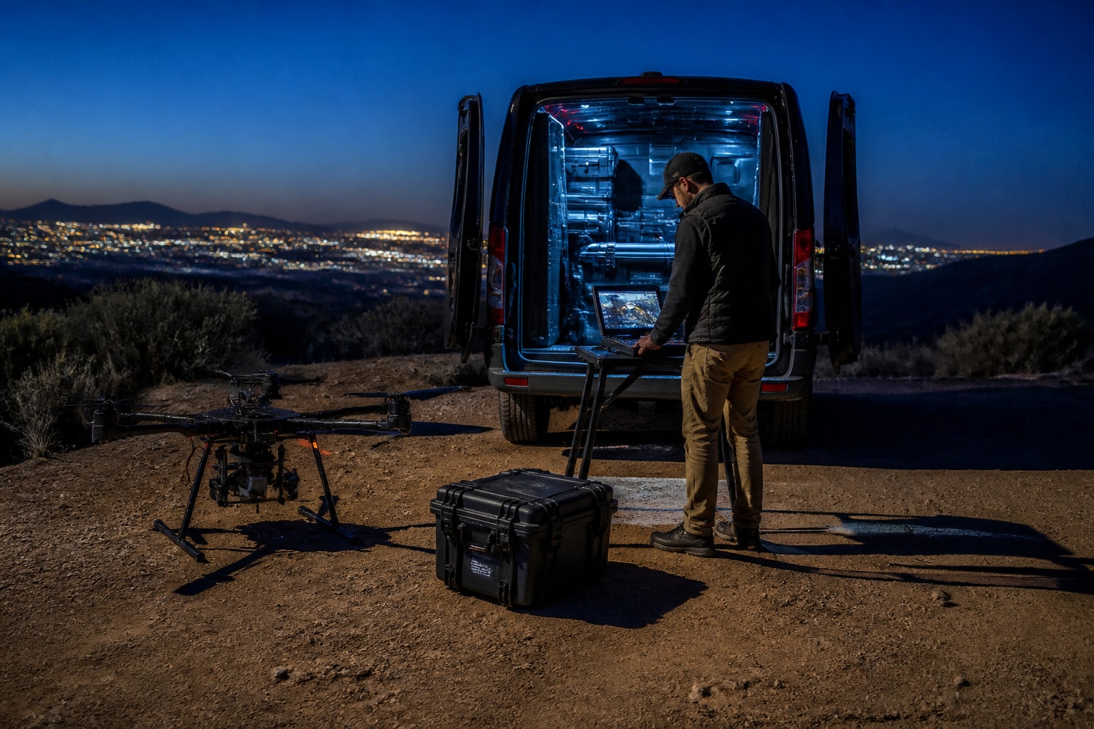
Part 107 also covers timing. The NAR notes that night operations can be conducted without a waiver when the pilot meets the rule's requirements, though controlled airspace still needs authorization for night operations below 400 feet. Twilight shots of a lit home and pool are possible, but only when the pilot has the right qualifications and clearance in place.
For current enforcement trends, our post on FAA drone enforcement in 2026 covers what sellers and agents should know before hiring anyone.
How Much Do Drone Pilots Charge for Real Estate?
Pricing for a listing shoot depends on the property size, the number of images, whether video is included and how much airspace work is involved. We do not publish a flat rate because a small condo and a master-planned lot are different jobs. A condo on a tight urban lot may need one short flight and a handful of stills. A hillside home in Scottsdale with a pool, a guest house and a view corridor needs more positions, more battery changes and more time on site. Price follows that workload.
These are the factors that move the price most:
Property size and number of structures
Stills only, or stills plus 4K video
Digital callouts and labeled overlays
Airspace authorization, such as flights near an airport
Travel distance and the number of locations
Rush turnaround
Airspace deserves a closer look. A property near Sky Harbor in Phoenix may need authorization before takeoff, and that adds planning time that a rural lot does not. Callouts add editing time, because each label has to be placed and checked against the lot. When you ask for quotes, give every pilot the same scope so you can compare them fairly.
For a deeper look at how pricing works, read our guide to real estate drone photography pricing. To get a number for your property, request a quote through our site and tell us the address, the deliverables and your timeline.
What Drone and Camera Are Used for Aerial Real Estate Photos?
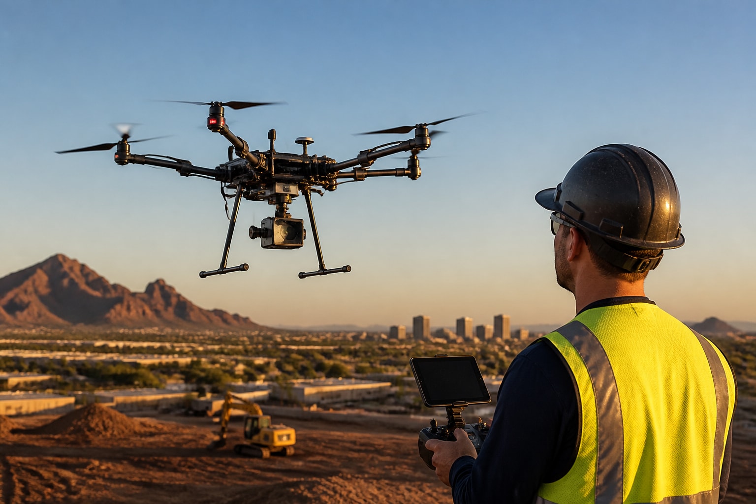
Professional listing work uses a small camera drone with a stabilized gimbal, a large enough sensor for clean detail in shadows and highlights, and spare batteries and backups on site. Sellers do not need to buy or choose one of these themselves.
The image quality you receive depends on the pilot's technique more than on the model name. A good pilot controls altitude, angle and timing, and keeps the horizon level and the roof edges sharp.
If you are curious about the equipment side, our post on the best drone for real estate photography explains what separates a listing-ready camera from a consumer one. For sellers, the practical question is simpler: ask the pilot for sample work from properties like yours.
Our team brings the right rig and backups to each job so a dead battery or a cloud bank does not cancel the shoot.
How to Get Good Results on Shoot Day
You can improve the final images with a few steps before the pilot arrives. Most of them take less than an hour.
Mow the lawn, trim hedges and clear the driveway of cars.
Clean the pool and remove loose furniture or toys from the yard.
Open gates so the pilot can see all boundaries.
Tell the pilot which features matter most, such as a view, a guest house or a lot corner.
Flag neighbors, nearby events or low-flying aircraft the pilot should know about.
Clean ground gets cleaner photos. A drone sees everything, including the hose left across the lawn and the trash cans by the garage.
Weather matters too. Wind, dust and haze reduce image quality and can ground the flight. We reschedule when conditions are not safe or when the light will not do your property justice.
When Aerial Images Help Most, and When They Do Not
Aerial photos help most when the property's value depends on its surroundings. They add less when the home sits on a tight urban lot with nothing to show from above.
They tend to pay off for:
Homes on large or irregular lots
Properties with a pool, a view or acreage
New builds inside a master-planned community
Homes near a golf course, trail, lake or mountain
Land sales where boundaries and access matter
For a developer or home builder, the same flight can capture a whole community. Mattamy Homes Florida's Melinda Oklok said of our work: "Mark and his team went above and beyond capturing and delivering amazing quality videos for a master planned community." Our post on drones in real estate development explains how builders use aerial progress and marketing imagery.
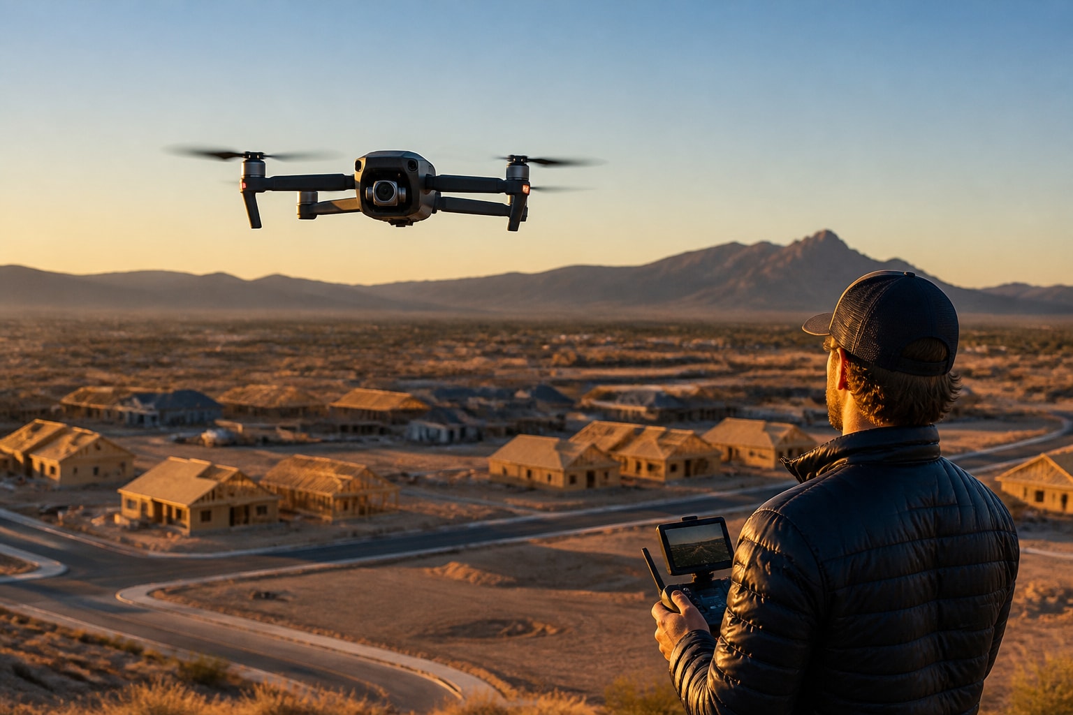
A Las Vegas, Nevada, builder with several lots under construction has a different need. They want repeatable angles over time, so each progress flight matches the last.
Mistakes That Make Aerial Photos Less Useful
Most weak aerial listings fail for the same few reasons, and all of them are avoidable.
Shooting too high. From very high up, every house looks the same. Mid-altitude angles show the roofline, the yard and the street.
Poor timing. Harsh midday sun in Arizona and Nevada flattens the image and burns out light roofs.
No plan for the listing. If the pilot does not know what the agent wants to emphasize, the shots drift. A short brief fixes that.
Over-editing. Heavy color shifts make the lawn look unnatural and buyers notice at the showing. Accurate color protects trust.
Unlicensed pilots. A flight without Part 107 certification or insurance puts the seller and agent at risk if something goes wrong.
Our post on aerial photography for real estate goes deeper into composition choices that work for listings.
FAQ
How much does a decent photography drone cost?
Prices vary widely, from a few hundred dollars for a consumer model to several thousand for professional camera systems. The drone is only part of the cost of doing this work legally. A commercial operator also needs a Part 107 remote pilot certificate, aviation insurance, spare batteries, and the time to check airspace before each flight. Sellers do not need to buy any of it. Hiring a licensed pilot covers the equipment, insurance and Part 107 compliance in one service, and you pay for the result instead of owning a drone that sits in a closet after one listing.
What type of drones are used for aerial photography?
Most listing work uses a compact multirotor drone with a stabilized camera. Multirotors hover, climb straight up and hold a steady frame, which suits a single home on a single lot. Larger systems and sensors, including LiDAR, are used for mapping and site data rather than for standard listing photos. If your property needs measured boundaries or terrain data, tell the pilot early. That is a different job from marketing images, with different gear, a different flight plan and different deliverables.
How much money can you make doing drone photography?
Income depends on the market, the pilot's certifications, costs and how steady the client base is. Many pilots start with real estate because the jobs are short and repeat business comes through agents. We are a service provider for sellers and builders, so we do not give earnings advice. If you are weighing it as a career, start with the Part 107 requirements and a realistic look at insurance and equipment costs.
Your next step is to gather the property address, your target listing date and the deliverables you want, then send them to us so we can check airspace and light for your site. Our real estate drone photography service covers aerial stills, 4K video and digital callouts for homes and communities in Arizona and Nevada. Contact Extreme Aerial Productions to get an estimate for your property and lock in the plan, the gear and the date.
Comments