


DJI Photo Guide: Shooting Drone Photos That Look Pro
A good DJI photo comes from three things: a camera set for the light, a planned flight path, and a pilot who is legally cleared to fly the job. The aircraft matters less than those habits. A 48 MP sensor still produces a flat, noisy image if the exposure is wrong or the angle is random.
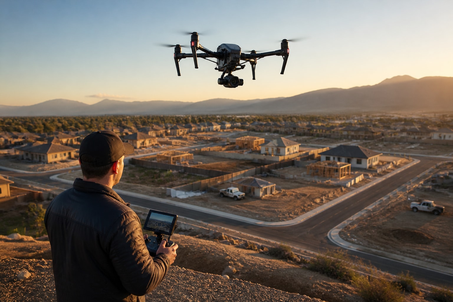
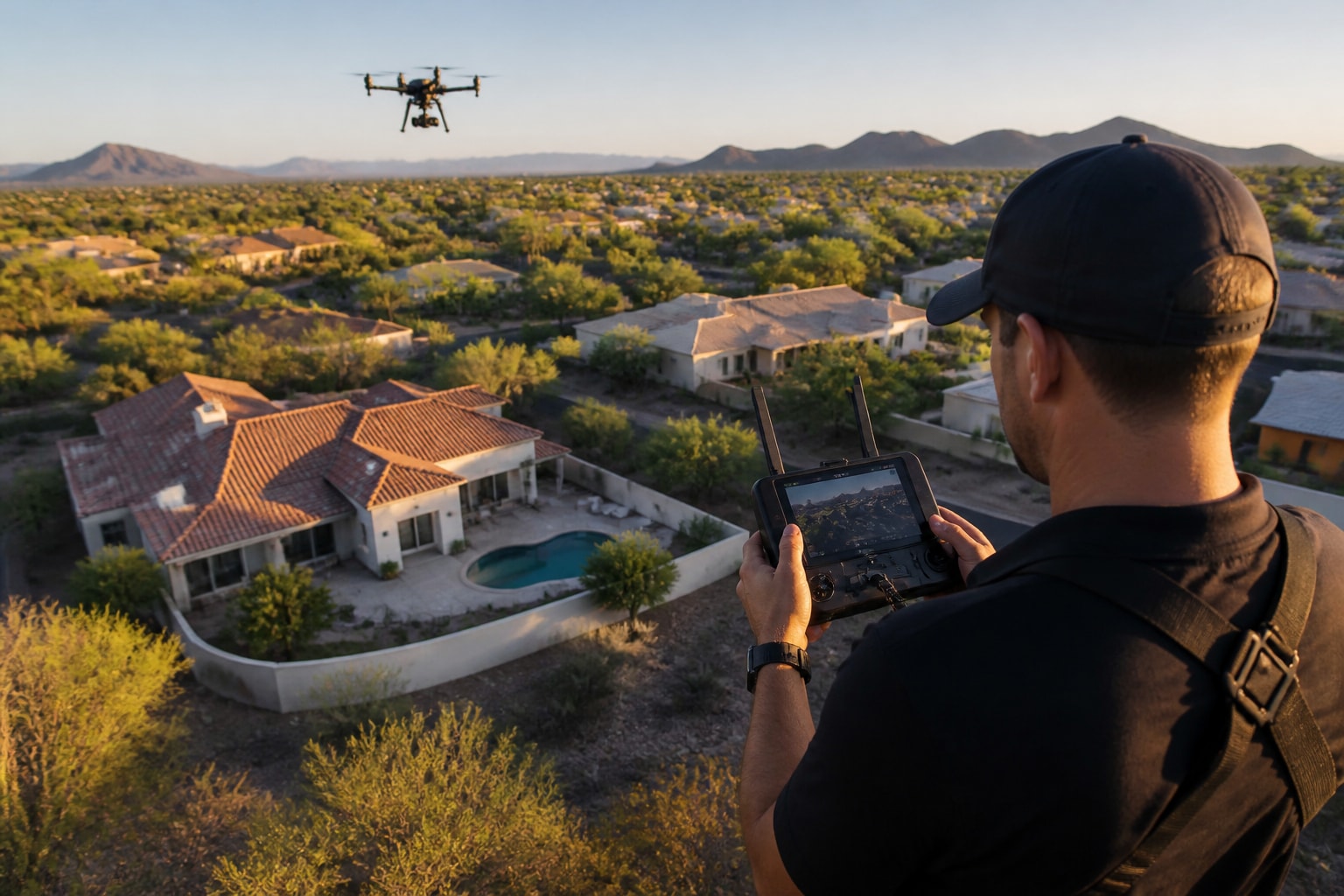
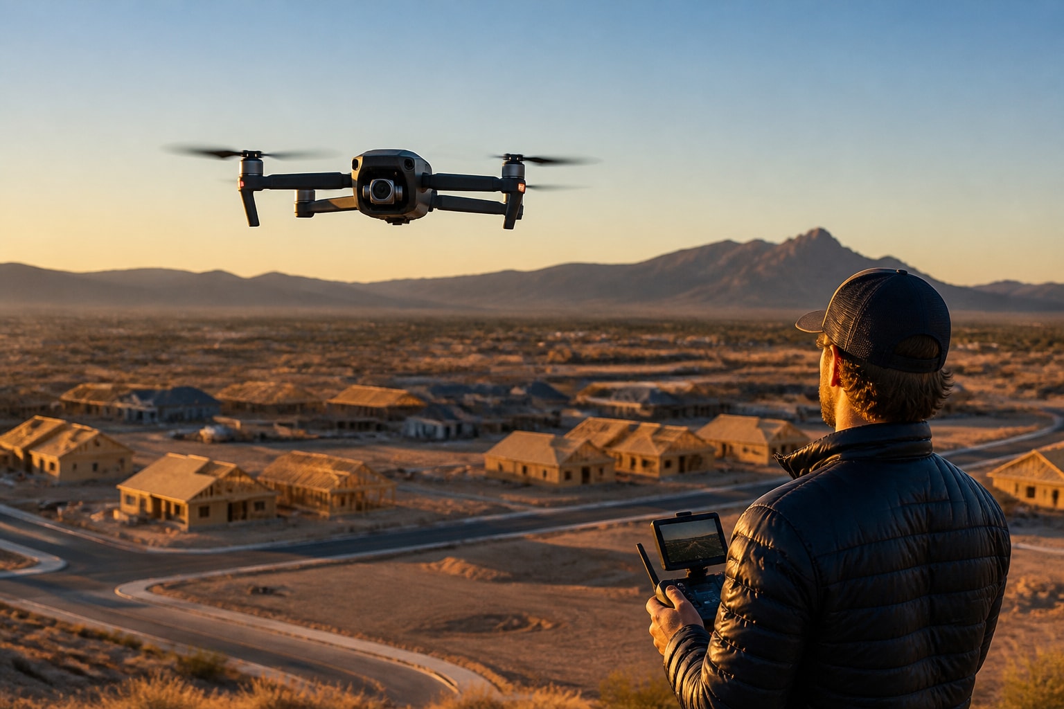
We built this guide around a recent Phoenix job. A homebuilder's sales team had a model-home village that looked unfinished in ground photos, with bare lots and no sense of scale. Our brief was to show the whole community, the lot layout, and the nearby amenities in a single listing-ready set. We shot it in one morning window, and the sales team had the edited set the next business day. Those are our project records for that job. Below is how we approach it, and how you can judge whether the photos you receive are professional grade.
Project Snapshot: A Phoenix Community Shoot
A project snapshot gives you the context behind the settings, so here is the job in plain terms.
Location: Phoenix, Arizona, with a follow-up site in Las Vegas, Nevada
Industry: Residential development and home building
Deliverables: Wide community stills, mid-altitude lot views, and a short set of oblique street-level aerials
Aircraft and sensor: The rig listed on our Equipment page, flown with a Hasselblad-class mapping and photo payload for the stills
Turnaround: Edited set the next business day
Constraints: Low sun angle, active construction crews, and a tight shooting window before afternoon heat haze
Airspace: Controlled airspace near the site, so we filed for authorization before the flight
We chose that workflow because the builder needed images for a sales center display, a website hero, and a printed brochure. One flight, three uses. That planning step is where most of the "pro" look comes from, long before the shutter fires.
How to Take Photos on DJI: Settings That Matter
To take photos on a DJI aircraft, set the camera to photo mode, lock your exposure, shoot in RAW or RAW plus JPEG, and confirm focus before you press the shutter. The app handles the rest, but the defaults rarely give you a finished image.
Here is the sequence we follow on every stills flight:
Switch from auto to manual or aperture priority so the exposure does not drift as the drone moves.
Set ISO as low as the light allows, usually 100 to 200 in daylight.
Choose an aperture around f/4 to f/5.6 if your lens is adjustable. Fixed-aperture models, like the f/1.7 camera on the DJI Flip, rely on shutter speed instead.
Keep shutter speed at or above 1/500 second to freeze small vibrations and wind movement.
Enable the histogram and check it after each position, not only at the start of the flight.
Turn on the grid overlay to keep horizons and rooflines straight.
Sensor size sets the ceiling for what these settings can do. The DJI Flip announcement from January 14, 2025 lists 48 MP photos from a 1/1.3-inch CMOS sensor with up to 4x photo zoom. That is a capable consumer sensor. It is also a different tool than the larger-sensor aircraft we fly on commercial jobs, where dynamic range in bright Arizona sun makes a visible difference.
If you are choosing hardware yourself, our breakdown of the best DJI drone for photography compares the options by sensor and use case.
Composition That Separates Pro Aerials From Snapshots
Professional aerial composition starts with a reason for every frame: a lot line, a rooftop, a road into a development, or a progress comparison. Random high-altitude shots of a roof rarely help anyone sell a home or document a site.
For residential marketing, we build a shot list before takeoff:
A wide establishing frame that shows the property in its neighborhood
A mid-altitude angle that makes the lot size and layout obvious
Two or three low obliques that show the front elevation and outdoor features
One straight-down (nadir) frame for the site plan or boundary overlay
Altitude changes the story. Fifty to 80 feet shows a pool and patio clearly. At 200 to 300 feet you read the street pattern and nearby amenities. Above that, individual homes lose detail fast. Our writeup on drone house photos covers how those angles work for individual listings.
A few composition habits hold up across jobs:
Keep verticals vertical. Tilted walls read as amateur.
Use leading lines, such as driveways and roads, to pull the eye toward the subject.
Watch shadows from your own aircraft near the ground.
Avoid power lines and bright vehicles that pull attention away from the home.
For agents weighing what photos add to a listing, we outlined the benefits of real estate drone photography in a separate post.
Light, Timing and Arizona Conditions
The best time for a DJI photo in Arizona and Nevada is the first 90 minutes after sunrise or the last 90 minutes before sunset, when low-angle light separates rooflines and landscaping. Midday sun flattens everything and blows out light-colored stucco and tile.
Desert conditions add their own problems. Heat shimmer builds by mid-morning and softens fine detail, especially at longer focal lengths. Dust and haze reduce contrast in summer. Reflective solar panels, white roofs and pool water can push highlights past what a single exposure holds.
Our Phoenix community job was flown in the early morning window for that reason. Light came in from the east, lot lines cast clear shadows, and the sprinkled grass in the common areas read green rather than washed out. We checked the weather and wind forecast the night before, then confirmed on site before launch.
Exposure bracketing helps on high-contrast scenes. Three frames at minus two, zero and plus two stops merge into a single image that holds detail in both the sky and the shaded side of a building. It adds a few minutes in editing, but the result looks natural instead of overprocessed.
Field Note: Why We Bracket and Shoot RAW
Our field note comes from Mark and the pilot team: on a master planned community in the desert, a single JPEG almost never holds both the bright sky and the shaded front elevations. We shoot RAW with three-frame brackets on key positions because it gives the editor room to recover shadows without banding or color shifts. The tradeoff is file size and a longer edit, and on a tight deadline we plan the extra hours into the schedule instead of cutting the bracket.
Getting DJI Photos From the Drone to Your Phone
To get photos from a DJI drone to your phone, connect the aircraft to the DJI Fly app, open the album or media section, and download files over the aircraft's Wi-Fi link, or pull the microSD card and use a card reader. Both routes work, and the card route is faster for large RAW files.
Here is the workflow we recommend:
Land and power down the aircraft before moving any media.
For quick previews, use the app download to grab JPEG proxies.
For delivery files, remove the microSD card and copy the originals to a laptop or external drive.
Back up to a second drive before you format the card.
Rename files by position and date so edits and client selects stay organized.
On commercial work we copy to two drives on site before leaving. A corrupted card after a one-time shoot, such as a ribbon cutting or a pour day, cannot be reshot. Phone downloads are fine for social previews, but they are compressed or slow, so keep them out of your delivery pipeline.
Photos for Construction and Inspection Work
Photos for construction and inspection need to be repeatable, not just attractive. A progress image only helps if next month's frame matches the same position, altitude and angle.
For contractors, roofers and solar teams, we set fixed capture points and record them, so every visit shoots the same views. That lets a project manager compare week 6 to week 12 in a meeting and see what changed. Roof and solar inspections add close-range detail frames, such as flashing, penetrations and panel rows, alongside the overview.
If your project needs measurement as well as imagery, photogrammetry or LiDAR may be the right capture method. We compare them in our post on drone photogrammetry vs LiDAR in Nevada. For roofing teams, our guide to roof estimates with drone photography shows how stills feed into takeoffs. Progress documentation in the Las Vegas valley is covered in our post on drone progress photos in Las Vegas.
Legal Limits for Commercial Drone Photos
A drone photo taken for business, such as a listing, a brochure or a client report, requires a remote pilot certificate under FAA Part 107, not the recreational rules. The FAA states that flying for purposes other than recreation, such as videography or news gathering, requires a remote pilot certificate and compliance with the Small UAS Rule.
Recreational rules are narrower. The FAA says recreational flyers must keep the aircraft within visual line of sight and fly at or below 400 feet in Class G airspace, and they must pass TRUST and carry proof of completion. Neither pathway covers photos used to market a property or document a paid project.
On our jobs, we handle the paperwork: airspace checks, authorization requests where needed, site releases and insurance. That matters most near Phoenix Sky Harbor and in the Las Vegas valley, where controlled airspace can affect potential job sites. Builders and agents should confirm that any provider they hire holds Part 107 certification and carries current liability coverage before the first flight.
When to Hire a Pro Instead of Flying It Yourself
Hire a professional when the photos carry money or liability: a listing, a community launch, a progress report or an inspection that someone will rely on. The cost of a missed shot or an airspace violation can exceed the cost of doing it right.
Our professional aerial work is built for that level of delivery, and for TV, film and corporate clients we offer TV, film and corporate drone production with full planning, permits and backups. One client, Melinda Oklok of Mattamy Homes Florida, said of our team: "Mark and his team went above and beyond capturing and delivering amazing quality videos for a master planned community." Our clients include Invergy, McCarthy and QCells.
For a direct number on your site, request a quote through our team.
FAQ
Which drone is best for photography?
The best drone for photography depends on the job. Larger-sensor aircraft hold more detail and dynamic range, which matters for print and large displays, while compact models work for quick social previews. For client deliverables, we match the aircraft and payload to the shot list rather than the other way around.
What is the latest DJI action cam?
DJI's handheld and action line changes often, so check DJI's own product pages for the current model before you buy. Action cameras are built for ground-level motion and wearable shots. They are a different category from aerial cameras, and they do not replace a licensed pilot with a drone for property or site photos.
Do I need a license to sell drone photos?
Yes. Any drone photo used for business purposes requires an FAA remote pilot certificate under Part 107. Recreational rules only cover hobby flying, and a listing, brochure or paid project falls outside them.
If you have a listing, community or job site that needs photos, start by writing a short shot list with the three views you need most and the date you need them by. Our Phoenix and Las Vegas team can turn that list into a flight plan, handle airspace and permits, and deliver edited images your sales or project team can use right away. To scope your shoot, Get an Estimate from Extreme Aerial Productions.
Comments