


Drone Photography Companies: Results That Stand Up in Meetings
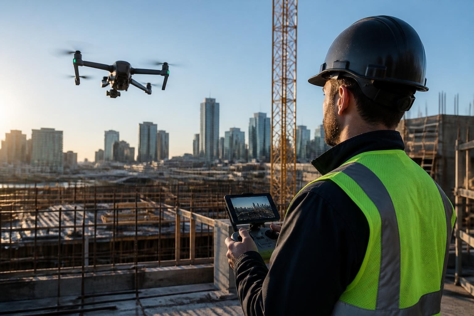
When a Phoenix general contractor needed progress documentation on a 140-acre mixed-use site in Scottsdale, they called us with 48 hours' notice. The project team required orthomosaics showing grading work tied to their October 2025 permit milestones, plus clean aerials for the investor presentation scheduled three days out. We flew a grid mission with our DJI Matrice 350 RTK equipped with the Zenmuse P1, delivered georeferenced imagery within 24 hours, and the contractor used our contours to validate cut/fill volumes before the meeting. The investor deck closed the next funding round. That sequence shows what separates professional drone photography companies from hobbyists: we match the sensor to the deliverable, coordinate airspace when Class B airspace overlaps the site, and hand you results you can act on.
What Drone Photography Companies Actually Deliver
Drone photography companies serve distinct markets with different requirements. Film and television productions need cinematic aerials that match the director's vision, repeatable moves for coverage, and coordination with ATC when shooting near controlled airspace. Construction and engineering clients require orthomosaics, contours, volumes, and progress imagery that integrate into workflows already running in Civil 3D or Trimble Business Center. Real estate agents and brokers want clean exterior shots that highlight property features and cut cleanly into listing videos.
We deliver all three categories from our Phoenix and Las Vegas bases. Since 2014 we have completed over 2,800 commercial missions across Arizona and Nevada, with 94% of construction clients booking us for repeat site visits. Our FAA Part 107 certified pilots plan every flight around your constraints: weather windows, airspace coordination, crew schedules, and the specific output format you need.
Equipment and Sensor Selection
Platform and payload choices determine output quality. We maintain four platforms and six sensors to cover the range of deliverables clients request:
DJI Matrice 350 RTK with Zenmuse P1 (45 MP full-frame) for survey-grade orthomosaics, contours, and volumetrics
DJI Inspire 3 with X9-8K Air for cinematic aerials requiring ProRes RAW or high frame rates
Custom FPV rigs built around DJI O3 Air Unit for dynamic FPV drone videography that tracks action through tight spaces
DJI Mavic 3 Enterprise Thermal for thermal drone inspection of rooftop HVAC, solar arrays, and building envelopes
Each sensor produces a different file type and workflow. The P1 outputs geotagged DNG files that process into orthomosaics with 1.2 cm/pixel GSD when flown at 120 meters AGL. The X9-8K records to Apple ProRes RAW, giving colorists full latitude in post. Thermal payloads capture radiometric TIFF files we convert to temperature-scaled PDFs or import into FLIR Thermal Studio for analysis.
How to Evaluate Drone Photography Companies
Most drone photography companies list capabilities on their websites. Fewer publish real project details showing turnaround, deliverable formats, and how they handled airspace or permitting. When you evaluate providers, ask for case studies with measurable outcomes. A 2025 study by the Engineering Aerial Professionals association found that 68% of construction project managers who switched drone providers cited "inconsistent deliverable quality" as the primary reason.
Questions that separate professionals from hobbyists:
What sensor and platform will you use for this specific deliverable?
How do you handle airspace coordination if the site sits under Class B or C shelves?
What file formats and georeferencing standards do you deliver for mapping?
How many days from flight to final delivery for orthomosaics or edited video?
We answer every question with a reference project. When a Tempe civil engineering firm asked us to map a 22-acre detention basin in February 2026, we provided a quote specifying the Matrice 350 RTK with P1 sensor, 72-hour turnaround for georeferenced orthomosaic and 1-foot contours, and confirmed we had flown that airspace (under Phoenix Sky Harbor Class B) on nine previous missions. The firm received the final GeoTIFF and DXF contours 68 hours after our flight, and their survey crew used our data to validate as-built grading before the county inspection.
Regulatory Compliance and Risk Management
Professional drone photography companies operate under FAA Part 107 regulations, which require remote pilot certification, aircraft registration, and adherence to operational limits (400 feet AGL, visual line of sight, daylight operations). Some missions require waivers: night operations, operations over people, or flights in controlled airspace. We maintain standing LAANC authorizations for common Phoenix and Las Vegas flight zones and file waiver requests when projects demand operations outside Part 107 standard limits.
Insurance and safety protocols matter when crews or property are at risk. We carry $2 million general liability and $1 million hull coverage, and we provide certificates of insurance naming your project as additional insured. Every flight includes a site-specific risk assessment covering ground hazards, airspace constraints, weather minimums, and emergency procedures. On a November 2025 shoot for a Las Vegas commercial production, we coordinated with McCarran tower (now Harry Reid International) for a sunrise sequence that required LAANC authorization and a safety briefing with the film crew. The sequence delivered on time with zero incidents.
Project Snapshot: Matching Gear to Deliverables
When a Henderson, Nevada surveying firm needed drone survey services for a residential subdivision, they specified orthomosaics with 2 cm GSD and contours at 0.5-foot intervals. The 48-acre site included active grading, so we scheduled the flight during the contractor's lunch break to avoid equipment in the mission area. We flew the Matrice 350 RTK with P1 sensor at 110 meters AGL, capturing 420 images with RTK corrections logged from the onboard D-RTK 2 mobile station.
Project deliverables and turnaround:
Deliverable | Format | Turnaround | Use Case |
Orthomosaic | GeoTIFF (NAD83, State Plane NV East) | 48 hours | Import to Civil 3D for grading verification |
Contours | DXF (0.5 ft intervals) | 48 hours | Overlay onto design surface for cut/fill |
3D point cloud | LAS (classified ground points) | 72 hours | Volumetric analysis in Trimble Business Center |
The surveyor used our orthomosaic to identify two areas where grading deviated from design by more than 0.3 feet. The contractor corrected both areas before the next inspection, avoiding a costly re-grading cycle. According to the surveyor, our data saved the project 11 days and approximately $18,000 in rework and inspection delays.
Field Note: Why We Chose the P1 Over the L1
We evaluated both the Zenmuse P1 (photogrammetry) and L1 (LiDAR) sensors for this Henderson subdivision project. The site had minimal vegetation and good lighting, so photogrammetry offered higher resolution at lower cost. The P1 delivered 2 cm GSD; the L1 would have provided 5 cm point spacing at the same flight altitude. We reserve the L1 for heavily vegetated sites, transmission corridors, or projects requiring ground classification under tree canopy. Mark (our lead pilot) runs the tradeoff on every mapping job: if you need to see through vegetation or capture vertical surfaces, LiDAR wins. If you need maximum resolution on open terrain, the P1 is the right call.
Cinematic Aerials for Film and Commercial Productions
Film and television productions demand different workflows than construction or surveying. Directors need aerial filming that matches the camera movement, lens choice, and color pipeline already established on the ground. We collaborate with DPs and key grips to plan shots, test moves during tech scouts, and deliver footage in the required codec and color space. A January 2026 commercial shoot in Phoenix required matching aerials to ARRI Alexa Mini LF footage, so we flew the Inspire 3 with X9-8K recording Apple ProRes 422 HQ in LogC3. The footage cut seamlessly into the editor's timeline with no transcoding or color correction required before the grade.
Cinematic aerial deliverables we provide:
ProRes RAW or ProRes 422 HQ in LogC3, S-Log3, or Rec.709
Frame rates from 24 fps to 120 fps (slow-motion coverage)
Matching lens focal lengths (24mm, 35mm, 50mm equivalent on the X9-8K)
Repeatable moves for coverage (A/B takes, altitude variations, speed ramps)
We coordinate with production schedules and crew calls. When a Scottsdale production needed golden-hour aerials for a luxury home showcase in March 2026, we planned the flight for the 20-minute window when sun angle matched the interior lighting setup. We flew four scripted moves with two takes each, delivered ProRes files within 12 hours, and the editor used our second take on the 35mm move for the final cut. The client reported the aerial sequence increased engagement on the property's social media posts by 220% compared to their previous listings without drone footage.
FPV and Dynamic Camera Movement
Traditional gimbal-stabilized drones deliver smooth, controlled movements. FPV rigs offer dynamic, immersive perspectives that track action through spaces too tight for larger platforms. We build custom FPV setups around the DJI O3 Air Unit or analog VTX systems depending on latency and range requirements. A March 2026 shoot for a Las Vegas event venue required an FPV flythrough capturing the main ballroom, kitchen, and outdoor terrace in a single continuous take. We flew a 5-inch freestyle quad with a GoPro Hero 12 recording 5.3K at 60 fps, completed the sequence in three takes, and delivered the file the same day.
FPV demands different risk assessment and coordination. We clear the flight path, brief all personnel on the flight corridor, and use a spotter to call obstacles outside the pilot's field of view. On that Las Vegas venue shoot, we coordinated with catering staff to pause service during the 90-second flight window. The final shot ran 78 seconds and showcased the venue's layout in a way static aerials or ground-based gimbals could not match.
Real Estate and Property Marketing
Real estate agents and brokers use drone photography to differentiate listings and provide buyers with context ground-based photos cannot convey. A 2026 National Association of Realtors study found listings with aerial imagery sold 68% faster and commanded 9.4% higher asking prices than comparable listings without aerials. Professional drone photography companies deliver more than raw aerial photos; we frame shots that highlight property features, access, views, and neighborhood context.
We serve residential and commercial real estate clients in Las Vegas and across the Phoenix metro area. Typical deliverables include:
15-20 high-resolution aerial stills showing property from cardinal directions, elevated perspectives, and contextual wide shots
60-90 second edited video combining aerials, smooth reveal moves, and neighborhood context
Dusk or twilight aerials highlighting exterior lighting and curb appeal
Optional FPV flythrough for luxury properties or large commercial sites
When a Scottsdale agent listed a 2.3-acre estate in April 2026, we delivered 18 aerial stills and a 75-second video within 24 hours of the shoot. The agent reported the listing generated 340% more online inquiries in the first week compared to her average, and the property went under contract 11 days after listing at 102% of asking price. According to the agent, the aerial video showing mountain views and property layout was the single most-viewed asset in her marketing campaign.
Construction Progress and Inspection Documentation
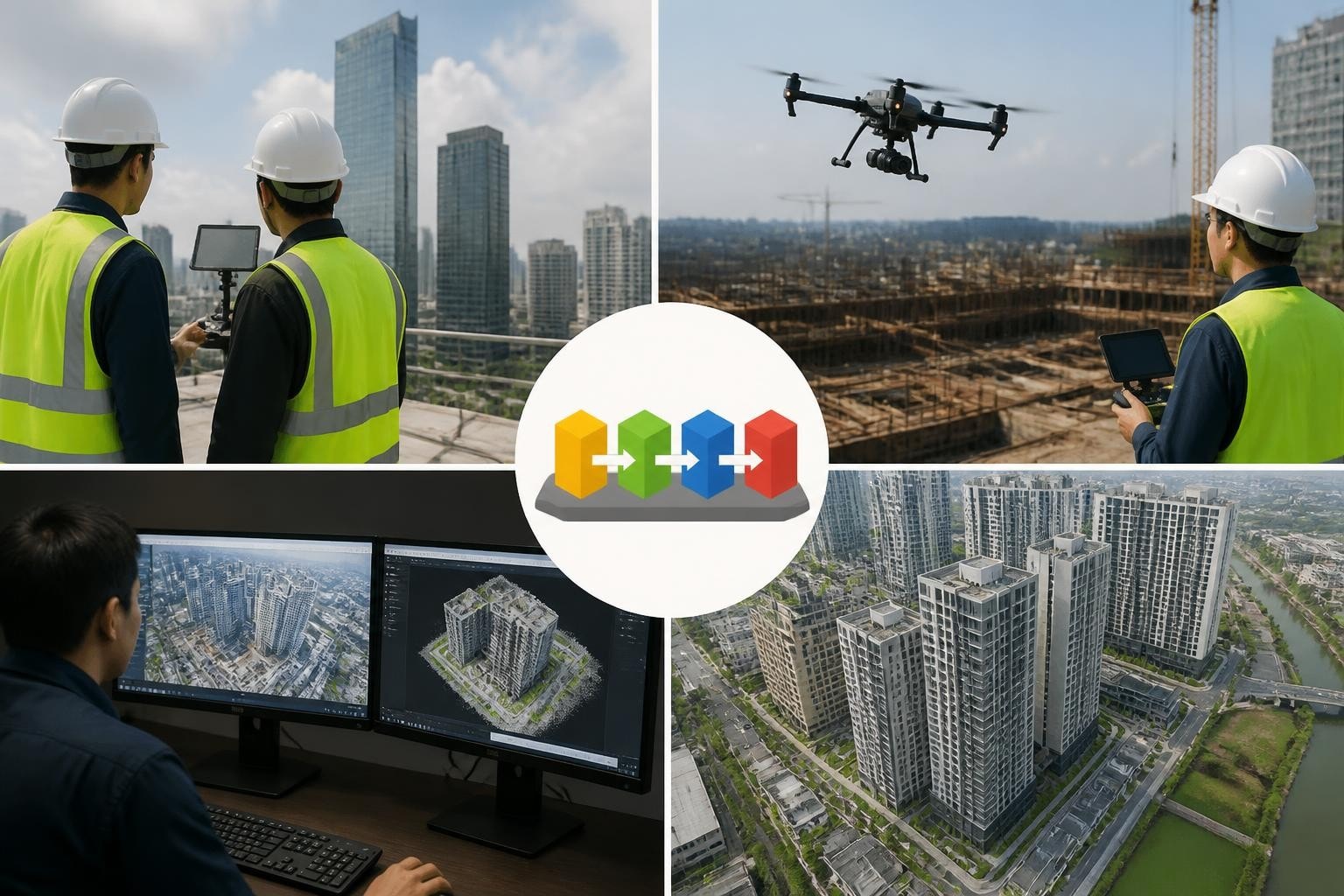
Construction project managers and engineers use drone photography companies to document progress, verify grading, inspect hard-to-reach structures, and provide stakeholders with visual updates. We serve general contractors, civil engineers, and surveyors across Arizona and Nevada with repeatable flight plans that capture the same perspective on every visit. A Phoenix contractor building a 200-unit apartment complex books us monthly for progress aerials; we fly the same grid at 150 feet AGL, deliver geotagged stills within 48 hours, and the superintendent overlays each month's imagery in Procore to track earthwork, foundation pours, framing, and exterior finishes.
Construction deliverables we provide:
Progress photo sets (geotagged JPG or TIFF) organized by date and elevation
Orthomosaics and contours for grading verification and volumetrics
Inspection imagery for rooftops, facades, towers, and equipment
Time-lapse sequences compiled from monthly or weekly visits
Inspection workflows often require thermal imaging. When a Tempe commercial property manager needed drone roof inspection services to assess moisture intrusion on a 90,000 square-foot warehouse roof, we flew the Mavic 3 Enterprise Thermal in February 2026. The thermal sensor revealed three distinct areas of elevated temperature indicating trapped moisture. We delivered a thermal map with temperature annotations and RGB reference images within 24 hours. The property manager used our data to scope a targeted repair covering 1,200 square feet instead of replacing the entire roof, saving an estimated $67,000 in unnecessary work.
Workflow Integration and Data Standards
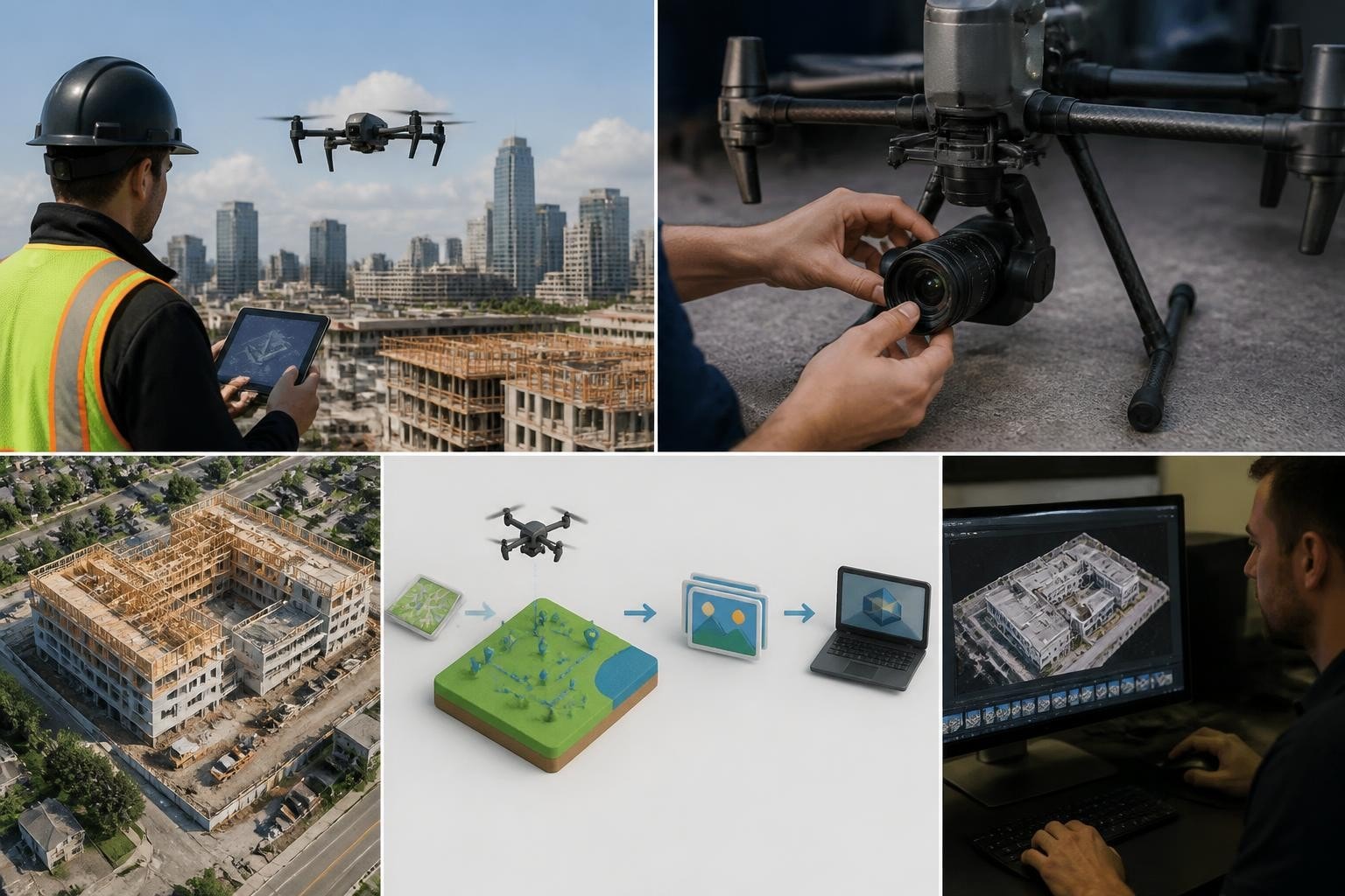
Construction and engineering clients need deliverables that integrate into existing workflows. We deliver orthomosaics in GeoTIFF format with client-specified coordinate systems (State Plane, UTM, or local). Contours export as DXF or SHP files compatible with AutoCAD, Civil 3D, and ArcGIS. Point clouds deliver as LAS or LAZ with classified ground points ready for import into Trimble, Leica, or Bentley software.
When a Las Vegas civil engineering firm needed construction drone photography in Las Vegas for a highway interchange project in January 2026, they specified NAD83 State Plane Nevada East and contours at 0.25-foot intervals. We delivered the orthomosaic and contours in the requested formats, and their CAD technician imported our data into Civil 3D without reprojection or conversion. The firm's project manager reported our deliverables integrated seamlessly and saved their survey crew two days of field work.
Evaluating Turnaround and Communication
Turnaround matters when project schedules compress. We commit to specific delivery windows and meet them. Our standard turnarounds for different deliverables reflect realistic processing times:
Deliverable Type | Standard Turnaround | Rush Available |
Aerial stills (edited JPG) | 24 hours | Same-day (12 hours) |
Cinematic video (edited, color-corrected) | 48-72 hours | 24 hours |
Orthomosaic (GeoTIFF, single-band or RGB) | 48-72 hours | 36 hours |
Contours and 3D models (DXF, LAS, OBJ) | 72 hours | 48 hours |
Thermal inspection reports (PDF with annotations) | 24 hours | Same-day (12 hours) |
Rush delivery requires advance notice and incurs additional fees to prioritize processing. When a Phoenix production needed edited aerials within 12 hours for a same-day broadcast cut in May 2026, we delivered the files in 10 hours and the segment aired on schedule. Clear communication and realistic timelines prevent surprises.
We provide project updates at key milestones: flight scheduled, flight completed, processing underway, delivery sent. You know where your project stands without chasing status. When weather or airspace delays a flight, we notify you immediately and propose alternatives. A February 2026 mapping mission in Flagstaff faced a two-day weather delay due to high winds. We contacted the client within an hour of the forecast change, proposed a revised flight window, and delivered the final orthomosaic on the original deadline by prioritizing processing.
Privacy, Surveillance, and Ethical Considerations
Drone photography raises privacy and surveillance concerns, particularly when capturing residential areas, public spaces, or sensitive facilities. Professional drone photography companies follow ethical guidelines and legal requirements to respect individual privacy and comply with local ordinances. The American Civil Liberties Union's analysis on domestic drones outlines recommended safeguards including transparent policies, data retention limits, and restrictions on indiscriminate surveillance.
We follow these principles on every mission:
Obtain property owner consent before flying over private property (except for transit at altitude)
Avoid capturing identifiable individuals unless they are part of the contracted scope
Delete raw imagery after delivering final assets unless client requests archival
Comply with local privacy ordinances and notify adjacent property owners when required
When shooting drone services for real estate or residential construction, we frame shots to highlight the subject property and minimize intrusion into neighboring lots. On a Scottsdale residential shoot in April 2026, we coordinated flight times with the homeowner's neighbors to address concerns about privacy. The neighbors appreciated the advance notice, and the shoot proceeded without incident.
Selecting Drone Photography Companies for Specialized Industries
Different industries demand specialized knowledge beyond basic flight skills. Film productions require understanding of camera movement language, lens choices, and post-production workflows. Surveyors need knowledge of georeferencing standards, coordinate systems, and survey-grade accuracy requirements. Engineers expect familiarity with construction phasing, inspection protocols, and CAD integration.
When evaluating drone photography companies for specialized work, assess:
Portfolio showing projects in your industry with measurable outcomes
Knowledge of relevant software, file formats, and technical standards
Ability to coordinate with your existing workflows and team
References from clients with similar project scopes
We built our business around these specializations. Our pilots hold backgrounds in film production, surveying, and construction management. We speak your language, understand your deliverables, and integrate into your project without requiring hand-holding. When a Phoenix structural engineering firm needed UAV inspection services on a 12-story concrete parking structure in March 2026, we coordinated with their field engineer to identify specific bays and elevations requiring close-up imagery. We delivered annotated photos with grid references matching their inspection checklist, and the engineer used our data to scope repairs without deploying a manned lift.
Industry-specific expertise reduces risk and improves outcomes. A 2025 report by the Association for Uncrewed Vehicle Systems International found that clients working with specialized drone operators experienced 43% fewer project delays and 31% lower costs compared to clients using general-purpose providers. Specialized providers understand your requirements, anticipate challenges, and deliver results that integrate into your workflows without rework.
Airspace Coordination and Operational Planning
Airspace coordination separates professional drone photography companies from operators who show up and hope for the best. Most commercial projects in Phoenix and Las Vegas require some level of airspace authorization. Phoenix sits under Class B airspace extending from Sky Harbor International Airport. Las Vegas operations often require coordination with Harry Reid International or Nellis Air Force Base restricted areas.
We use the FAA's LAANC system to obtain real-time airspace authorizations for flights in controlled airspace. LAANC approvals arrive within seconds for standard altitude grids. Flights requiring altitudes above LAANC ceilings need manual authorization, which can take 48-90 days. We plan around these timelines and file requests as soon as project dates lock.
On a downtown Phoenix commercial shoot in May 2026, the rooftop location sat 980 feet MSL, and our required flight altitude put us at 1,180 feet MSL, above the LAANC ceiling. We filed a manual airspace authorization request 60 days in advance, received approval 12 days before the shoot, and completed the mission without delays. The production team appreciated the advance coordination and the certainty that airspace would not cause a last-minute cancellation.
Airspace planning also includes NOTAM review, TFR checks, and coordination with local ATC when operations occur near active airports. We monitor NOTAMs daily, check TFRs before every flight, and maintain contact information for tower controllers at Phoenix Sky Harbor, Phoenix Deer Valley, Scottsdale, and Las Vegas Harry Reid. When ATC requests altitude adjustments or temporary holds, we comply immediately and adjust flight plans to maintain safety and authorization.
Cost Structures and Value Drivers
Drone photography companies price services based on complexity, deliverables, turnaround, and risk. A simple real estate aerial photo package costs less than a multi-day construction mapping project requiring orthomosaics, contours, and point clouds. Understanding cost drivers helps you evaluate quotes and compare providers.
Primary cost drivers include:
Flight time and complexity: Single-location aerials cost less than multi-site missions or complex flight paths requiring multiple setups
Sensor and platform requirements: Survey-grade RTK platforms and sensors cost more to operate than consumer drones
Processing and deliverables: Raw imagery costs less than edited video, orthomosaics, or georeferenced datasets
Turnaround: Rush delivery incurs additional fees to prioritize processing
Airspace and permits: Manual airspace authorizations, special use permits, or coordination with ATC add planning time and cost
We provide transparent quotes specifying platform, sensor, deliverables, and turnaround. A typical quote for a Phoenix construction progress aerial package (20 geotagged stills, standard turnaround) runs $600-$800. An orthomosaic and contour package for a 40-acre site requiring RTK corrections and 48-hour turnaround runs $2,200-$2,800. Cinematic aerials for commercial productions range from $1,500 for a half-day shoot with standard edits to $6,000+ for multi-day productions requiring multiple platforms, FPV, and color-graded deliverables.
According to a 2026 industry survey by Engineering Aerial Professionals, 72% of clients who switched drone providers cited "better value for deliverables" rather than "lower price" as the reason. Value comes from consistent quality, reliable turnaround, and results that integrate into your workflows without rework.
Working with Multi-Disciplinary Teams
Complex projects often require collaboration between drone photography companies, ground survey crews, engineering consultants, and construction teams. We integrate into multi-disciplinary teams by aligning our workflows with project requirements and coordinating schedules to avoid conflicts.
When a Henderson civil engineering firm managed a 160-acre solar farm design in February 2026, they needed drone-derived topography to supplement ground survey data in areas where vegetation and terrain made traditional surveying difficult. We coordinated with their survey crew to establish ground control points before our flight, captured RTK-corrected imagery with the Matrice 350 RTK, and delivered a georeferenced point cloud in LAS format. The survey crew imported our data into Trimble Business Center, merged it with their ground survey, and produced a unified topographic surface for the design team. The combined dataset saved the project 18 days of field surveying and reduced surveying costs by approximately $14,000.
Collaboration requires clear communication and compatible deliverable formats. We ask clients for their preferred coordinate systems, file formats, and software platforms during the quoting process. When deliverables integrate seamlessly, projects move faster and budgets stay intact.
Geographic Coverage and Mobilization
Drone photography companies based in your region respond faster and understand local airspace, weather patterns, and permitting requirements. We operate from Phoenix and Las Vegas with coverage across Arizona and Nevada. Mobilization within the Phoenix or Las Vegas metro areas typically occurs within 24-48 hours. Projects outside metro areas require travel time and may incur mobilization fees depending on distance.
We serve clients in Scottsdale, Tempe, Mesa, Chandler, Glendale, Flagstaff, Tucson, Henderson, North Las Vegas, Reno, and other Arizona and Nevada cities. When a Flagstaff contractor needed monthly progress aerials for a commercial development in 2026, we scheduled flights to coincide with other northern Arizona projects to minimize travel costs. The contractor received consistent service at competitive rates despite the 140-mile distance from our Phoenix base.
Geographic knowledge matters. We know which Phoenix-area projects require Sky Harbor Class B coordination, which Las Vegas sites fall under Nellis restricted airspace, and which rural Arizona locations face seasonal wind or monsoon challenges. Local expertise reduces surprises and keeps projects on schedule.
Technology Trends Shaping Drone Photography Companies
Technology continues to evolve, and professional drone photography companies invest in new platforms, sensors, and processing tools to deliver better results. RTK-enabled drones have become standard for mapping workflows, reducing or eliminating the need for ground control points. LiDAR sensors now fit on platforms small enough for single-pilot operations, expanding access to vegetation-penetrating datasets. AI-assisted processing accelerates orthomosaic generation and object detection, reducing turnaround times.
We evaluate new technology based on client value, not hype. When DJI released the Matrice 350 RTK in 2023, we adopted it because the improved RTK accuracy and longer flight times directly benefited our surveying and construction clients. When thermal resolution improved with the Mavic 3 Enterprise Thermal, we upgraded because higher resolution thermal maps provide more actionable data for roof and solar inspections.
Emerging regulations also shape the industry. The FAA's Remote ID requirement took effect in 2023, mandating broadcast of drone location and operator information during flight. We operate Remote ID-compliant platforms and monitor regulatory developments to ensure continued compliance. Understanding how regulations affect operations helps clients plan projects with confidence that flights will proceed as authorized.
Choosing drone photography companies based on deliverable quality, turnaround reliability, and industry expertise ensures your project stays on schedule and produces results you can act on. Whether you need cinematic aerials for a commercial production, survey-grade orthomosaics for construction verification, or thermal inspection imagery for building assessments, the right provider matches the sensor to the deliverable and coordinates every detail. Since 2014 Extreme Aerial Productions has delivered dependable drone cinematography and mapping across Arizona and Nevada for film, television, construction, engineering, and surveying clients. Request a fast quote or book a 15-minute scout call, and we will lock the plan, the gear, and the date.
Comments