


Advanced Drone Guide: Features, Uses and Buying Tips
An advanced drone is an aircraft built around a stabilized camera or survey sensor, reliable positioning, and enough flight intelligence to repeat the same shot or the same data capture on demand. For real estate, construction, and commercial marketing work, that means sharper images, usable measurements, and fewer reshoots. In this guide we cover the features that matter, how they apply to real jobs in Arizona and Nevada, and how to decide when hiring a crew makes more sense than owning gear.
What Makes a Drone Advanced?
A drone earns the label "advanced" through its sensors, positioning accuracy, and flight reliability, not through its price tag or how fast it flies. The aircraft is the delivery platform. What you get out of it depends on what it carries and how well it holds position.
Three things separate a capable platform from a consumer toy:
Sensor quality. Larger sensors, mechanical shutters, and interchangeable lenses produce footage that survives color grading and large-format print. LiDAR and 360 VR capture add data that a standard camera cannot.
Positioning accuracy. RTK or PPK positioning ties images to real-world coordinates, which turns photos into measurable maps.
Flight reliability. Redundant batteries, obstacle sensing, and dependable return-to-home logic matter when a key day with talent or a client walk-through is on the calendar.
Our team has flown professionally for years, and the pattern is consistent. The aircraft that look impressive on a spec sheet matter less than the ones that behave the same way on the third flight of the day in 105-degree heat. If you want to see the platforms we rely on, our drone equipment page lists them.
A Real Job: Master Planned Community Marketing
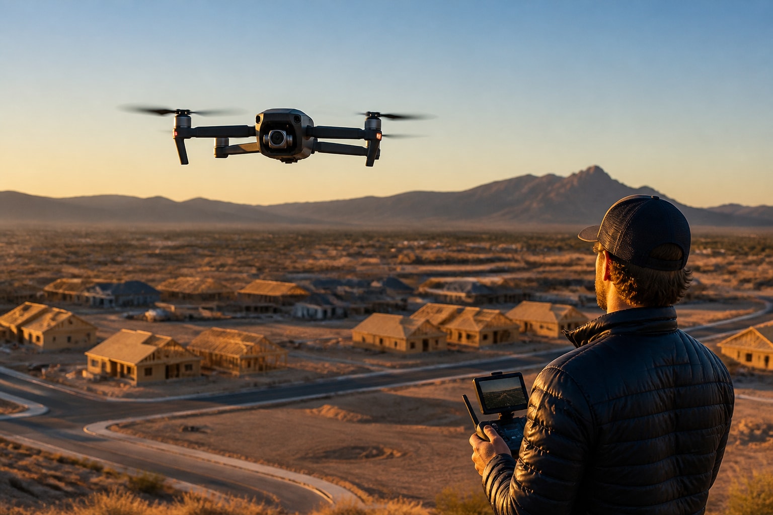
Here is how those features show up on a project. A builder client needed video of a master planned community that could sell lots and homes before the model row was finished.
Project Snapshot
Client type: Home builder, master planned community marketing
Deliverables: Cinematic aerial video and stills for sales and web use
Region: Arizona and Nevada work, with Phoenix as the planning base
Airspace: Checked before every shoot; we coordinate with air traffic control when the location requires it
Constraints: Active grading, moving equipment, and a fixed marketing launch date
The outcome the client cared about was simple: footage that made an unfinished community feel real. Melinda Oklok of Mattamy Homes Florida described the work this way: "Mark and his team went above and beyond capturing and delivering amazing quality videos for a master planned community."
We do not publish metrics for this specific job, so we will not attach numbers to it. What we can say from the work is that planned, repeatable camera moves let editors cut the footage cleanly against ground-level material without reframing every clip.
Features That Matter for Real Estate and Marketing
For property and development marketing, the features that matter most are camera quality, smooth gimbal control, and the ability to repeat a move. Spec-sheet extras rarely change the final video.
A larger sensor holds detail in the bright sky and dark shadow areas that define Arizona and Nevada afternoons. Interchangeable lenses let a pilot choose a tighter framing for a home facade or a wider one for a golf fairway. A three-axis gimbal removes the micro-jitter that makes aerial footage feel cheap.
Repeatable flight paths deserve more attention than they get. When a pilot can fly the same slow push-in at the same altitude on a second visit, a builder can show a lot before grading and again after the first foundations. That before-and-after pairing is one of the most persuasive assets in a sales package. Our post on drones and real estate covers how agents and builders use that kind of coverage.
For resorts, golf courses, and dealerships, the same logic applies. A fairway reveal or a lot-wide dealership shot needs a clean, steady move more than it needs exotic hardware.
Features That Matter for Construction and Inspection
On job sites, accurate positioning and sensor choice matter more than camera polish, because the output is data that someone will act on. A pretty image does not help a superintendent who needs a stockpile volume.
Photogrammetry and LiDAR serve different needs:
Photogrammetry builds orthomosaics, contours, and surface models from overlapping photos. It works well on open ground with visible texture.
LiDAR measures distance with laser pulses and can capture ground detail beneath sparse vegetation. We offer LiDAR as part of our current drone technology.
Ground control or RTK/PPK anchors both methods to real coordinates so the results line up with design files.
Repeat flights at set intervals create a visual and measured record of progress.
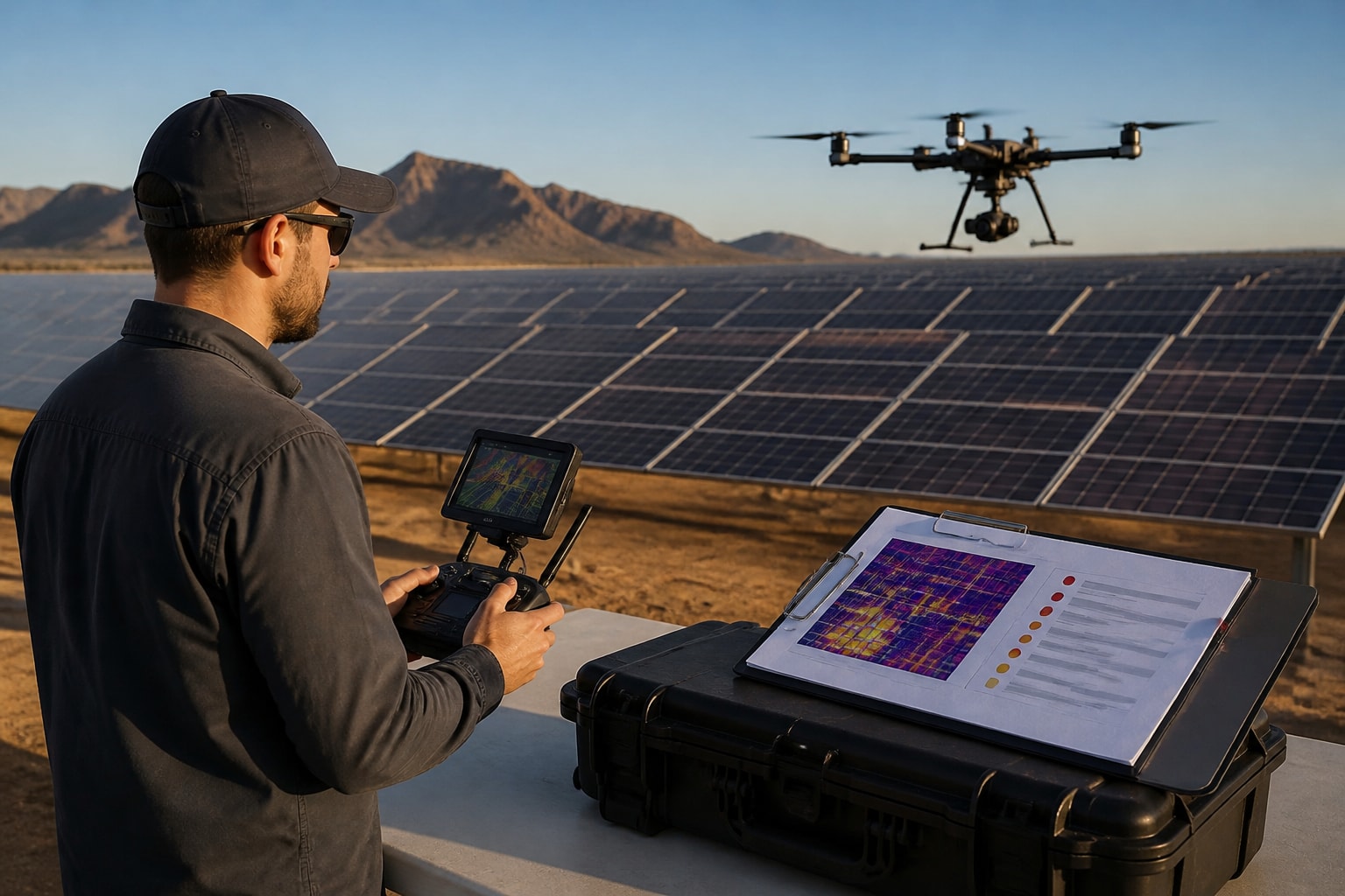
Roofing, solar, and infrastructure clients lean on thermal and high-zoom imagery for inspections, where the goal is to find a problem without sending someone onto a roof or a structure. Our clients have included firms in the construction and energy sectors, and the common request is dependable capture that holds up in a meeting. For details on deliverable types, see our overview of drone mapping deliverables, and for site records see drone project documentation.
Field Note: Why We Match the Rig to the Deliverable
Field Note from Mark and the team: we choose the aircraft after we know what the client will do with the files. A sales video and a volume calculation can come from the same site on the same morning, but they call for different flight patterns, different sensors, and different settings.
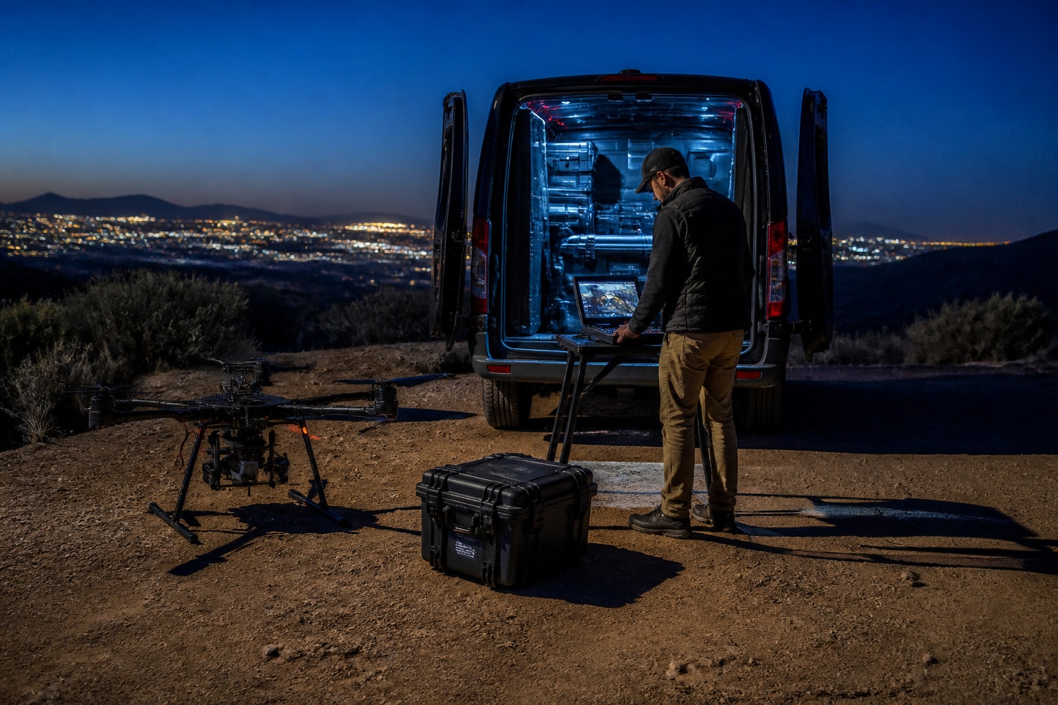
For marketing footage we fly slower, plan the light, and shoot with the edit in mind. For mapping we fly a tight grid with consistent overlap and check coverage before leaving the site. Mixing the two into one flight usually weakens both. When a project needs both, we schedule them as separate passes, and we bring backups so a single battery or sensor issue does not cost a client the day.
Rules You Need to Know in 2026
Any commercial flight in the United States runs under FAA rules, and operators who skip them put clients at risk. We hold FAA Part 107 certification, and our work is insured. Rules differ for recreational and commercial flying, but the baseline safety expectations overlap.
The Federal Aviation Administration states that recreational pilots must generally fly below 400 feet, keep the drone within visual line of sight, avoid other aircraft, and avoid creating hazards to people or property. Commercial work adds certification and airspace authorization requirements on top of that.
Remote ID is now part of the picture. Under the FAA Remote ID rule, drones that must be registered, or are registered, need to comply through a Standard Remote ID drone, a broadcast module, or flight in an FAA-Recognized Identification Area.
Registration is inexpensive but not optional for most business use. According to the FAA registration page, registration costs $5 and is valid for three years, and the weight exception for 0.55 pounds (250 grams) or less applies only under the recreational exception. For airports and controlled airspace in places like Phoenix and Las Vegas, we handle the authorization work. Our post on drone pilot airport airspace safety explains how that process works in practice.
A Point Buyers Rarely Plan For: The Cost of Outdated Data
An advanced drone only helps if the data it produces is current when decisions are made. A map from six weeks ago can mislead a grading plan, a pay application, or a sales pitch about what a site looks like today.
Think about the schedule rather than the single flight. A construction site changes weekly. A development changes every month. If your capture cadence is slower than your project's rate of change, the data starts working against you.
For marketing, the same principle applies to imagery. Listing photos that show a vacant lot after the first homes are framed lose credibility with buyers. Planning flights around construction milestones keeps visuals honest and keeps the marketing team from scrambling for a reshoot.
Buy or Hire: How to Decide
For most real estate, construction, and commercial marketing teams, hiring a professional crew is the lower-risk option, because a purchased aircraft is only part of the cost. You also pay for training, certification, insurance, software, batteries, and the time of whoever flies and processes the data.
Ask these questions before you commit:
How often will you need flights? Occasional needs favor hiring.
Who will hold the Part 107 certificate and carry the liability?
Can your staff process LiDAR or photogrammetry data into usable deliverables?
What happens when the aircraft is down on a deadline day?
Do you need airspace authorization near an airport?
If the answers point toward steady, in-house capture, you may want your own program. If they point toward occasional, high-stakes days, a crew that arrives with the right rig and backups reduces risk. Our guide on how to hire a drone company lays out what to ask a vendor.
If you are comparing rules outside the U.S. for a project with international scope, note that the European Union Aviation Safety Agency caps general open-category flight at 120 metres above ground level, while the FAA recreational guidance uses 400 feet. The two systems are not interchangeable, so confirm local rules before any flight abroad.
FAQs
What is an advanced drone used for in business?
Businesses use an advanced drone for cinematic marketing footage, progress documentation, site mapping, volume calculations, and roof or solar inspections. The common thread is a stabilized sensor and accurate positioning that produce files a team can use directly. Clients in construction, real estate, and hospitality use the same aircraft class for different deliverables.
Do I need a license to fly a drone for commercial work?
In the United States, commercial flights require FAA Part 107 certification. The pilot must also follow airspace rules and Remote ID requirements, and should carry proper insurance. We handle certification, airspace checks, and permits so clients do not have to manage them.
What is the difference between photogrammetry and LiDAR?
Photogrammetry builds maps and models from overlapping photos, and it suits open, textured ground. LiDAR uses laser pulses to measure surfaces and can capture ground detail beneath light vegetation. The right choice depends on the terrain and the accuracy the deliverable needs.
How often should a construction site be flown?
Fly at an interval that matches how fast the site changes. Fast earthwork may need weekly capture, while slower phases may need monthly passes. We can help set a schedule that fits your pay application and reporting cycle.
Start by listing the deliverable you need and the date you need it, because that decides the sensor, the flight plan, and the airspace work. From there, our team plans the flights, clears the airspace, and arrives with the right rig and backups for projects across Arizona and Nevada. To lock in scope and timing for your project, use our site to Get an Estimate and tell us what you need captured.
Comments